
Maximizing project efficiency with point cloud surveying

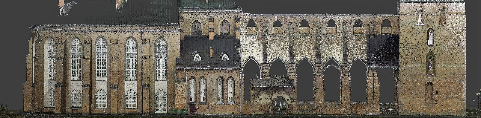
Point cloud surveying is a groundbreaking method that captures the physical world through laser scanning technology. This process generates a 'point cloud,' a digital collection of data points in space, which represents the external surface of objects and structures. By using Light Detection and Ranging (LiDAR) or similar technologies, point cloud surveying creates highly detailed 3D models that are invaluable in various industries.
As industries evolve, the demand for faster, more accurate, and efficient surveying methods has increased. Point cloud surveying meets these demands by providing a comprehensive digital representation that aids in the design, planning, and execution of projects, revolutionizing the way professionals approach construction and design.
Advantages of Point Cloud Surveying
One of the most significant benefits of point cloud surveying is its ability to capture precise measurements quickly. This accuracy is crucial for architects, engineers, and construction professionals who rely on detailed data to make informed decisions.
The speed at which point cloud surveying can collect data not only saves time but also reduces the need for multiple site visits. This efficiency is essential for keeping projects on schedule and within budget.
While the upfront cost of point cloud surveying equipment may be higher than traditional methods, the long-term savings in labor and the reduction of errors provide a significant return on investment.
Point cloud data is not only accurate but also versatile. It can be used for a wide range of applications, from complex industrial designs to detailed architectural renovations, making it a valuable tool for many sectors.
Applications of Point Cloud Surveying
In architecture, point cloud surveying is used to create detailed models of buildings for renovation or retrofitting. It is also invaluable in historical preservation, where it helps document and monitor the condition of heritage sites.
For engineering and construction, point cloud data facilitates the creation of accurate as-built documentation, aids in structural analysis, and assists in the coordination of complex projects.
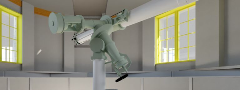
In the manufacturing sector, point cloud surveying enhances product design by providing precise dimensions and shapes, which are essential for creating components that fit together perfectly.
Integrating Point Cloud Data into Workflow
The process of integrating point cloud data into a project's workflow is seamless. After capturing the data, it is processed and converted into a 3D model that can be used with various CAD and BIM software, streamlining the design process.
There is a range of software and tools available that specialize in processing point cloud data. These tools enable professionals to manipulate, analyze, and convert point cloud data into usable formats.
Point cloud data promotes collaboration among project stakeholders by providing a shared, accurate model of the project. This shared resource helps to avoid misunderstandings and errors, further enhancing project efficiency.
Best Practices for Point Cloud Surveying
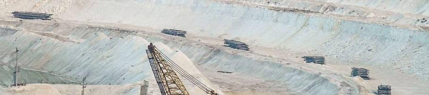
Selecting the appropriate scanning equipment is critical to the success of a point cloud survey. Factors such as range, accuracy, and speed must be considered to match the project's requirements.
Effective planning is essential for a successful point cloud survey. This includes determining the scope of the survey, the level of detail required, and the best methods for capturing the data.
Ensuring the quality of point cloud data is paramount. Implementing quality assurance protocols and efficient data management practices helps maintain the integrity of the data throughout the project lifecycle.


Comments (0)