Ground penetrating radar: unveiling the underground
Ground Penetrating Radar (GPR) is a non-invasive geophysical method that uses radar pulses to image the subsurface. This technology is a valuable tool for construction companies, real estate developers, civil engineers, and urban planners who need to locate and map underground features without digging or drilling.
GPR operates by sending high-frequency radio waves into the ground. When these waves encounter buried objects or material boundaries with different electrical properties, they are reflected back to the surface, where they are detected by the GPR system. The time it takes for the radar signal to return indicates the depth and location of the object.
GPR has a wide range of applications including utility detection, environmental assessment, archaeology, law enforcement, and military operations. In the construction and urban planning sectors, it is particularly useful for detecting underground utilities, voids, and potential sinkholes, as well as for assessing the condition of infrastructure like roads and bridges.
Benefits of Using GPR in Construction and Urban Planning
One of the primary benefits of GPR is its non-destructive nature, allowing professionals to gather subsurface information without damaging the existing structures or the environment.
GPR provides accurate and efficient data collection, which is essential for making informed decisions in construction and urban planning projects. It helps in reducing the risk of hitting underground utilities, which can lead to costly repairs and project delays.
By revealing what lies beneath the surface, GPR significantly improves safety and risk management on construction sites. It helps in identifying potential hazards before they become problems, ensuring the well-being of workers and the public.
How GPR Works: A Technical Overview
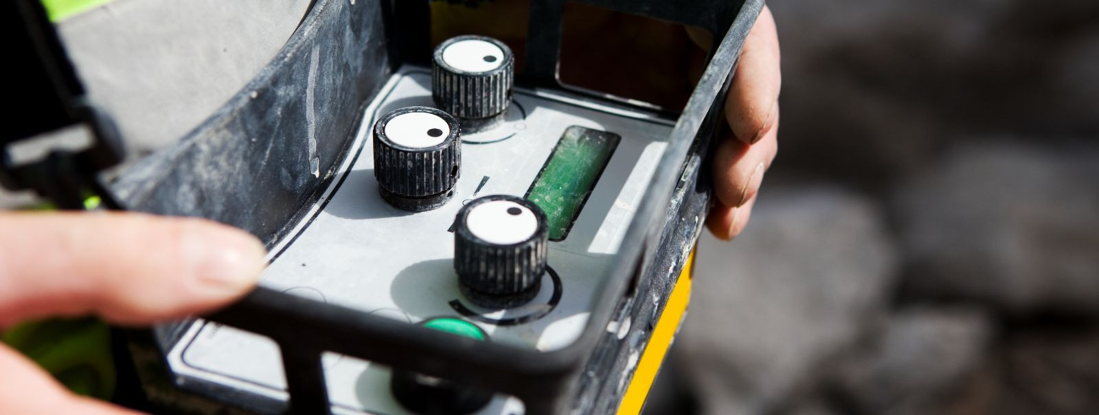
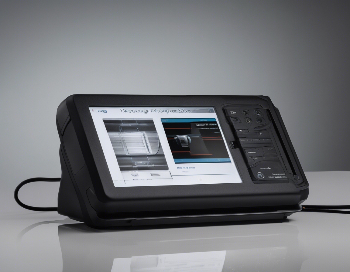
A typical GPR system consists of a control unit, an antenna, and a display unit. The control unit generates the radar pulses, which are transmitted into the ground through the antenna. The reflected signals are then captured by the antenna and sent to the display unit for analysis.
The GPR signal process involves the emission of electromagnetic waves and the detection of their reflections. The properties of the reflected signals can provide information about the depth, size, and material of the underground features.
Interpreting GPR data requires expertise, as the raw data is typically presented as a series of hyperbolic patterns on a radargram. Professionals must analyze these patterns to determine the characteristics of the subsurface features.
Advanced GPR Technologies and Innovations
Recent advancements in GPR technology include higher resolution imaging, improved data processing algorithms, and the integration of GPS for precise location mapping.
GPR is often used in conjunction with other geophysical methods to provide a more comprehensive understanding of the subsurface. This multi-method approach can lead to more accurate and reliable results.
The future of GPR technology looks promising, with ongoing research focused on enhancing data analysis, improving penetration depth, and developing new applications for this versatile tool.
Choosing the Right GPR Service Provider
When choosing a GPR service provider, it is important to consider factors such as technology, expertise, experience, and the ability to provide accurate and detailed subsurface data.
Expertise and experience are crucial in GPR services. A & O MAAMÕÕDUBÜROO OÜ offers extensive knowledge and experience in GPR, ensuring that clients receive the highest quality data for their projects.


Comments (0)