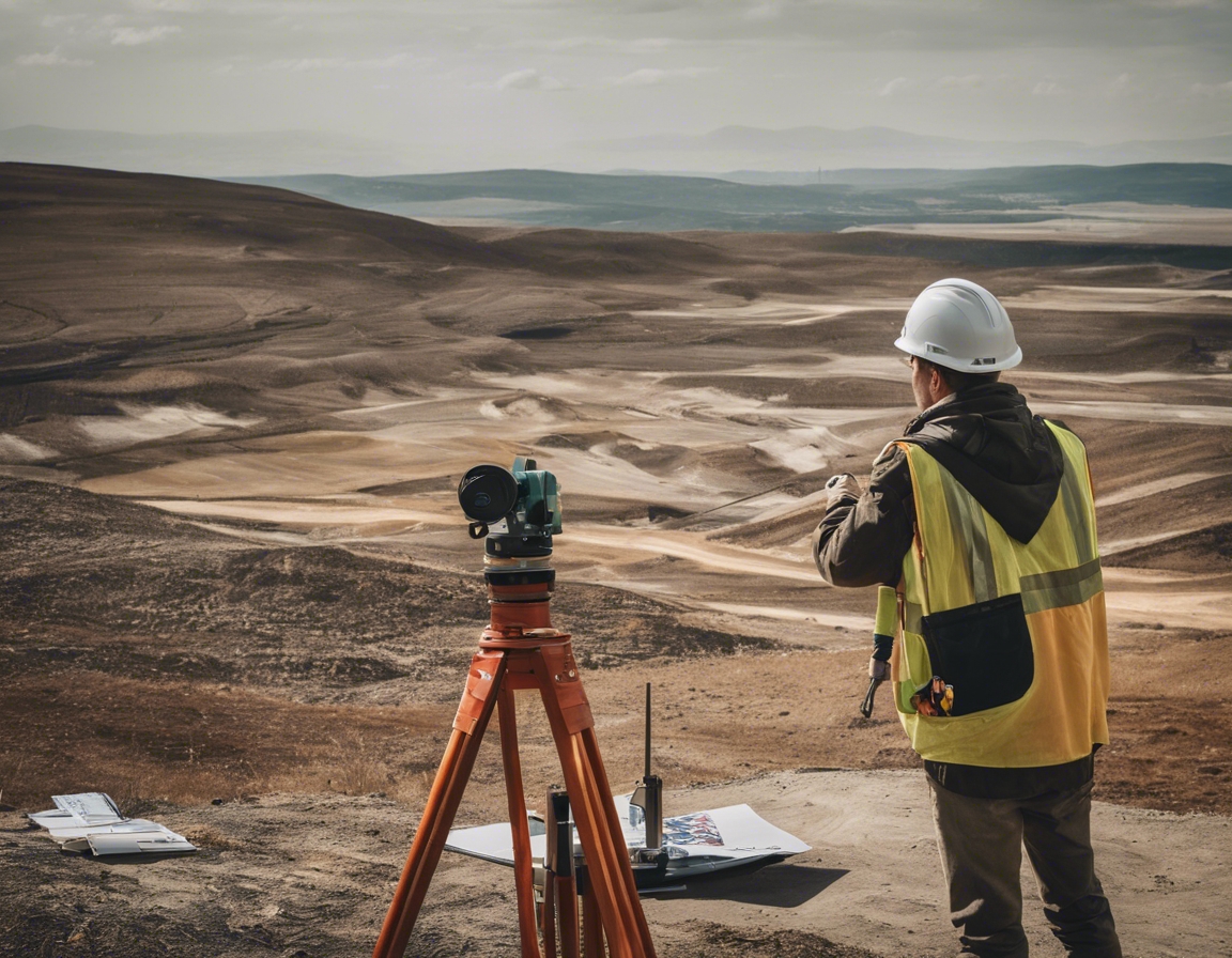
The importance of geodesy in large-scale infrastructure
Geodesy is the scientific discipline that deals with the measurement and representation of the Earth, including its gravitational field, in a three-dimensional time-varying space. It is a critical foundational element in the planning, design, and construction of large-scale infrastructure projects.
Infrastructure development requires precise measurements and an understanding of the Earth's shape and gravitational variations to ensure that structures are built correctly and sustainably. Geodesy provides the data necessary for accurate site planning, design, and construction, which is essential for large-scale projects.
The Significance of Accurate Geodetic Measurements
Accurate geodetic measurements are vital for the structural integrity and safety of infrastructure. They help engineers and construction professionals to understand the geographical context of the project site, which is crucial for the stability and longevity of the structures being built.
Precision in engineering and construction is non-negotiable for large-scale infrastructure. Geodetic data enables the creation of detailed and reliable plans that guide the construction process, minimizing the risk of errors and the need for costly corrections.
Geodetic Surveys and Modern Technology
Modern geodetic surveys utilize advanced instruments such as GPS, total stations, and laser scanning to collect data with high precision. These tools allow for efficient and accurate measurement of large areas, which is indispensable for major infrastructure projects.
Geodetic data is often integrated with GIS to provide a comprehensive spatial analysis platform. This integration allows for better decision-making and management of infrastructure projects, from initial planning to maintenance and monitoring.
Geodesy in the Context of Environmental Sustainability
For renewable energy providers, geodesy is crucial in site selection and the optimization of energy production. It ensures that renewable energy infrastructure such as wind farms and solar panels are positioned to maximize efficiency and output.
Geodesy plays a significant role in climate change adaptation strategies for infrastructure. It helps in assessing risks such as sea-level rise and land subsidence, enabling the design of resilient structures that can withstand environmental changes.
Geodesy's Role in Legal and Regulatory Frameworks
Geodesy is essential in determining property boundaries and land division, which are fundamental aspects of legal and regulatory frameworks in infrastructure development. Accurate geodetic data ensures that these boundaries are established and respected, avoiding disputes and legal issues.
Large-scale infrastructure projects often span across borders and jurisdictions, making compliance with international standards imperative. Geodesy helps in aligning projects with these standards, ensuring that infrastructure is built to globally recognized specifications.


Comments (0)