
Precision agriculture: how gps technology transforms mowing

Precision agriculture is an approach to farm management that uses information technology and a wide array of items such as GPS guidance, control systems, sensors, robotics, drones, autonomous vehicles, variable rate technology, automated hardware, and software to optimize field-level management with regard to crop farming. It's about doing the right thing, in the right place, at the right time, and in the right way.
Global Positioning System (GPS) technology has become a cornerstone of modern precision agriculture, providing farmers with unprecedented levels of accuracy and control. GPS enables precise mapping of farm fields, guidance for tractors and equipment, and the ability to perform detailed analysis for better decision-making.
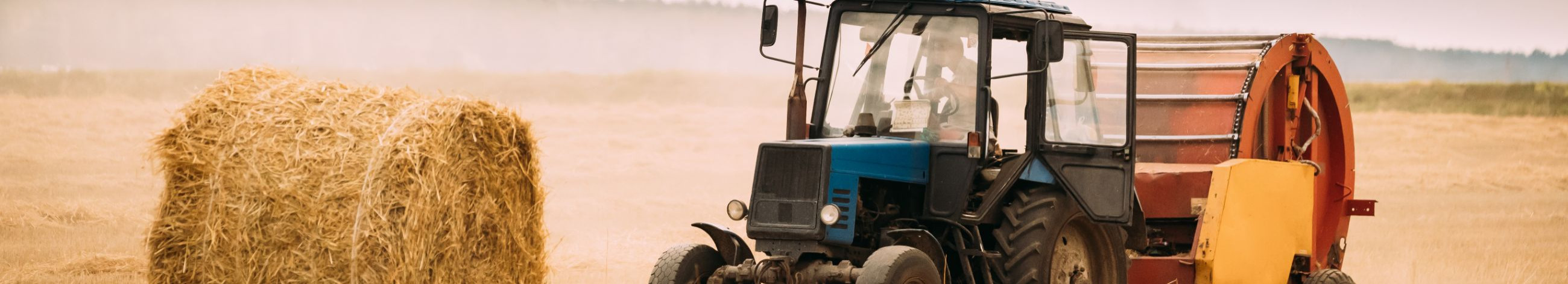
The Impact of GPS on Mowing Practices
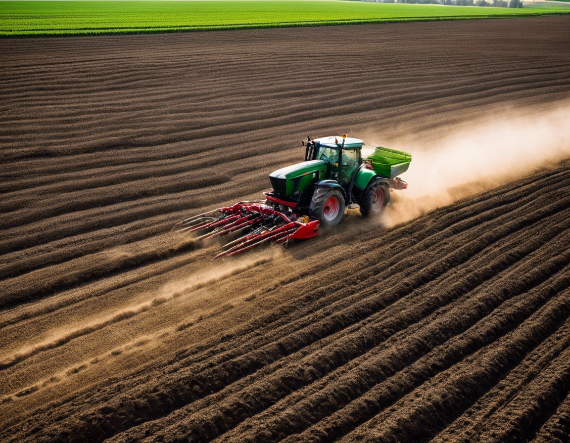
With GPS technology, mowers can follow pre-planned routes with precision, ensuring that every inch of the field is covered efficiently without overlaps or missed spots. This level of accuracy is crucial for large-scale operations where every pass counts.
GPS-guided mowing systems allow for faster operation speeds and longer working hours, as the technology can compensate for human limitations. This leads to significant time savings and the ability to manage larger areas with fewer resources.
By minimizing overlaps and ensuring accurate application, GPS technology helps in reducing waste of seeds, fertilizers, and fuels, leading to a direct reduction in input costs.
GPS-guided mowing contributes to environmental sustainability by reducing the number of passes required to mow a field, which in turn decreases fuel consumption and emissions. It also helps in maintaining soil structure and health by reducing compaction.
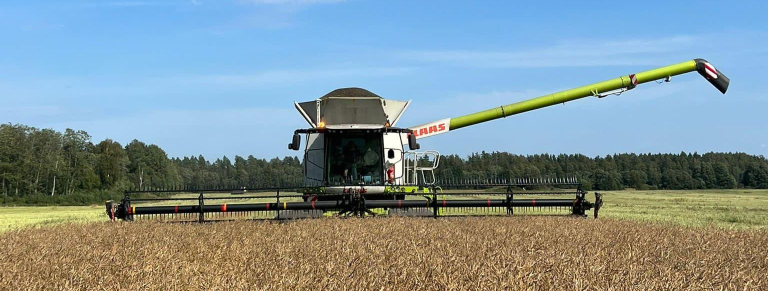
GPS Technology in Action: Mowing Applications
Automated steering systems use GPS to guide tractors and mowers along precise paths with minimal operator intervention, improving the accuracy and consistency of mowing operations.
GPS technology enables the creation of detailed field maps that can be used for planning mowing patterns, tracking progress, and managing field-specific data for informed decision-making.
As mowers traverse the fields, GPS systems collect data on mowing patterns, crop conditions, and other relevant metrics. This data can be analyzed to further refine mowing practices and overall farm management strategies.
Variable rate technology (VRT) allows for the adjustment of inputs such as fertilizers and pesticides based on GPS data, ensuring that these resources are applied optimally for each section of the field.
Adopting GPS Technology for Mowing: Considerations and Steps
Farmers must assess their operations to determine the potential benefits of integrating GPS technology into their mowing practices. Factors such as field size, terrain complexity, and crop type play a role in this decision.
Selecting the appropriate GPS equipment is critical for successful implementation. Equipment options range from basic guidance systems to advanced units with high-precision capabilities.
Integrating GPS technology with existing mowing equipment can be a cost-effective way to upgrade operations. Compatibility and ease of use are important considerations when selecting systems.
Proper training and ongoing support are essential for farmers to maximize the benefits of GPS technology. Understanding how to use the equipment and interpret the data is key to achieving the desired outcomes.

Comments (0)