
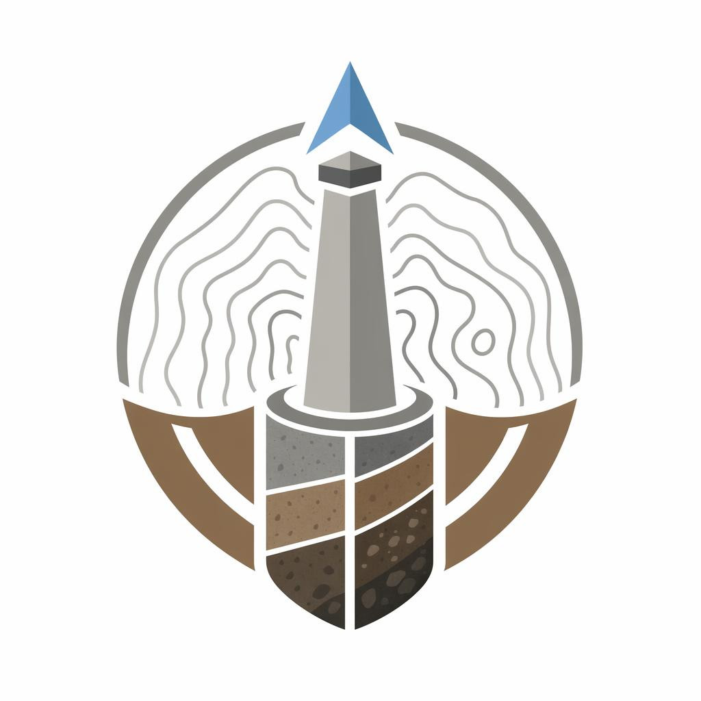
Measuring and research services ensuring accurate decisions for real estate, construction and planning

Precision is the basis of each successful project. If certain basic information is required for real estate, construction or planning, professional measurement and research services provide the necessary data on which to build decisions boldly. Carefully performed geodetic work, in-depth studies and reliable measurement information help to avoid mistakes, reduce risks and save both time and costs.
The selection of services includes solutions for developers, construction companies, municipalities and property owners. Let the target topographic surveying work, land surveying, catastral surveying or construction geodesy, the result is a clear, accurate and practical basis for moving forward. In addition, environmental studies and geological analyses support a thorough understanding of both underground and environmental conditions.
Reliable basis for each project
Successful planning begins with correct information. Detailed surveys provide an overview of the existing situation, help to assess the limitations of the object and provide a solid basis for design and construction. If the data are accurate at the beginning, it is easier to make the right decisions and avoid any subsequent alterations.
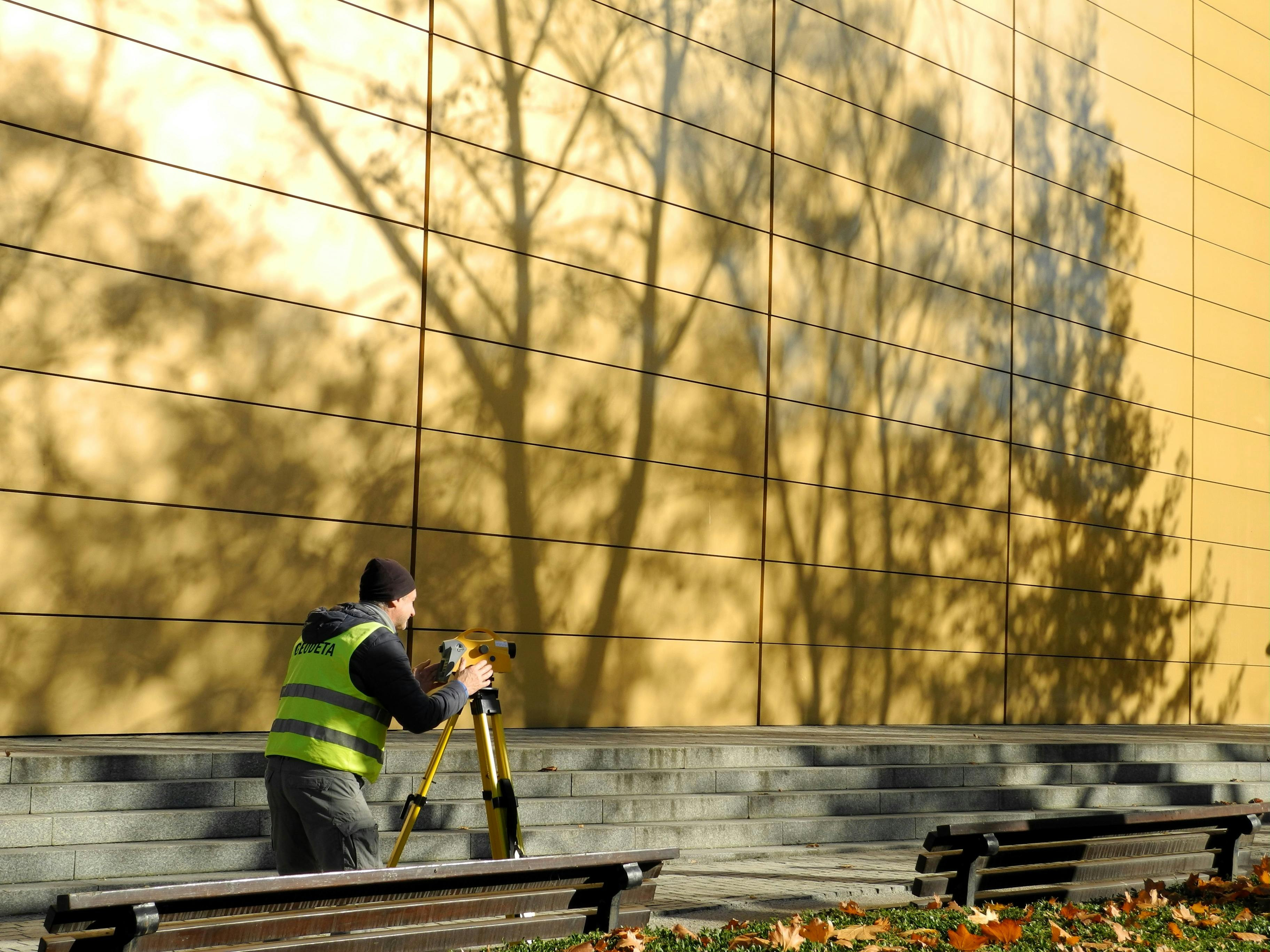
Topographic surveying works are well suited to map the areas, accurately fix landscapes and objects and create a design base. Land measurement and Catastral measurement help to clearly define the boundaries of the property, formalise the necessary data and ensure compliance of documentation.
Geodetic solutions
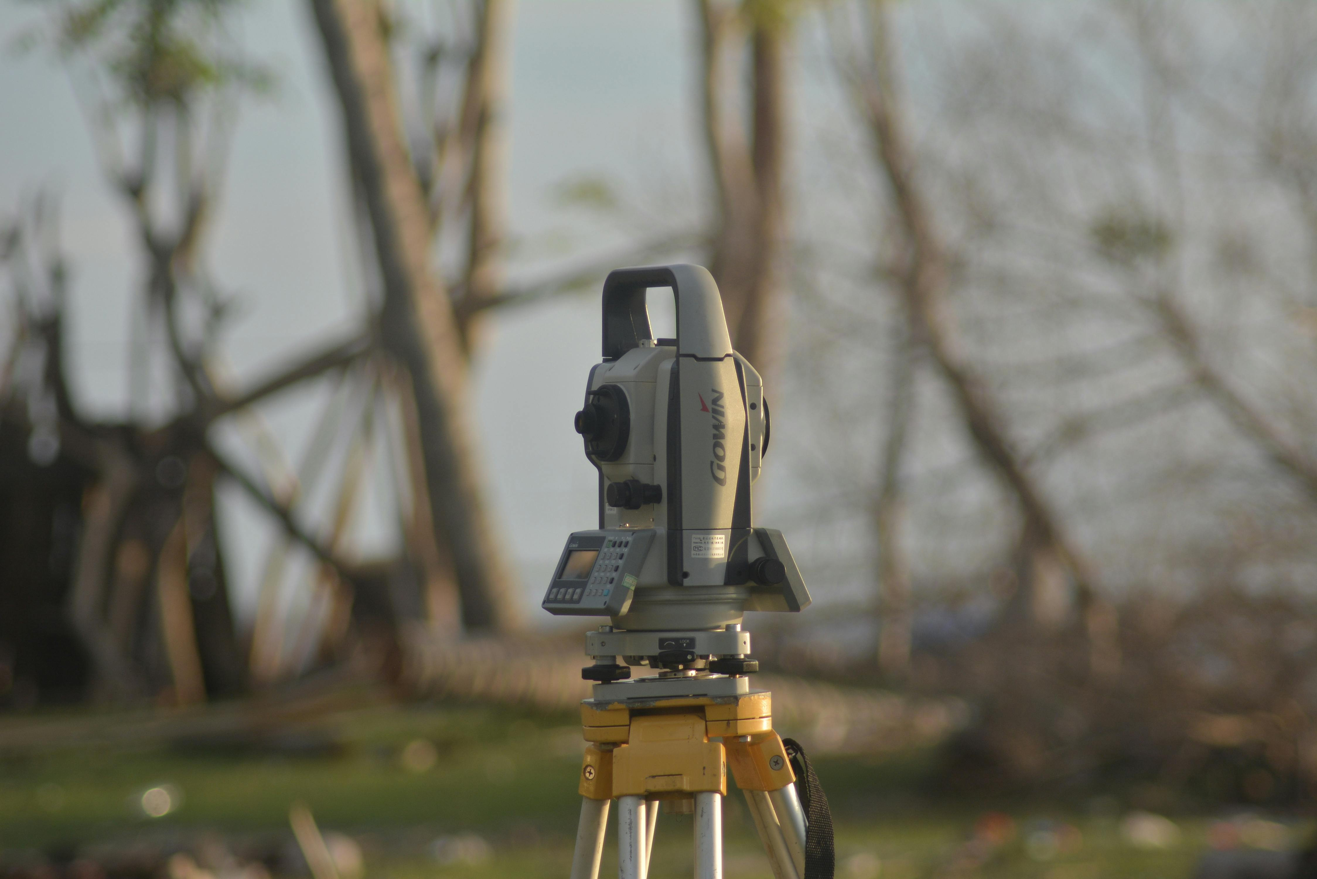
For construction and development projects, precision is critical. Building geodesy supports the entire construction process from preparation to performance measurements. This helps to check the conformity of the works with the project, monitor the progress of the construction and ensure that all the elements are located in the right places.
This approach increases reliability and reduces the risks that may arise due to inaccurate source information or mapping errors. The result is smoother work organisation, better quality control and a more reliable end result.
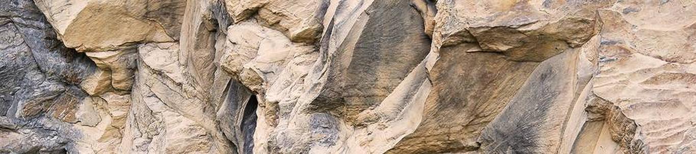
Environmental and geological studies for informed decisions
In addition to geodetic work, it is important to understand the specificities of the soil and the environment. Environmental studies and geological analyses provide valuable information on soil condition, possible limitations and environmental impacts. This is particularly important before development, construction or land use change.
Based studies help to identify risks early and to choose a more suitable solution at the planning stage. This makes it possible to make more thoughtful decisions to support the long-term success and compliance of the project.
Why choose a comprehensive survey and research service?
- <Precise data
- Lai services selection from topographic surveys to environmental studies li>
- Smaller risks thanks to reliable source information and early detection of problems
- <Effective work process in stages of design, construction and documentation
- <Kindlam result both private, business and public sector >></ Quality surveying creates clarity, studies provide confidence and together help to bring the project to the next level.

Comments (0)