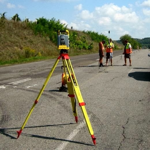
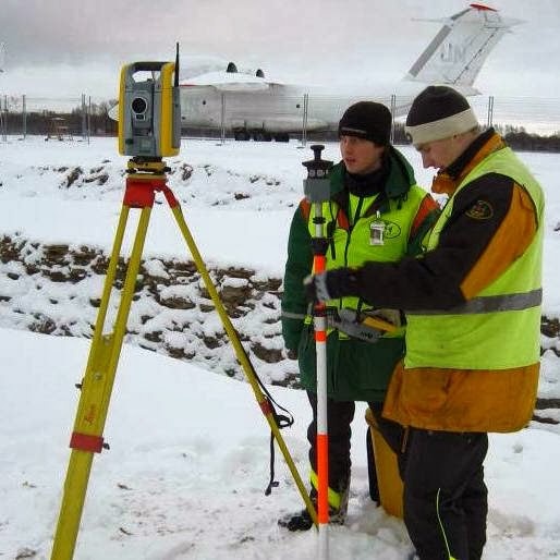
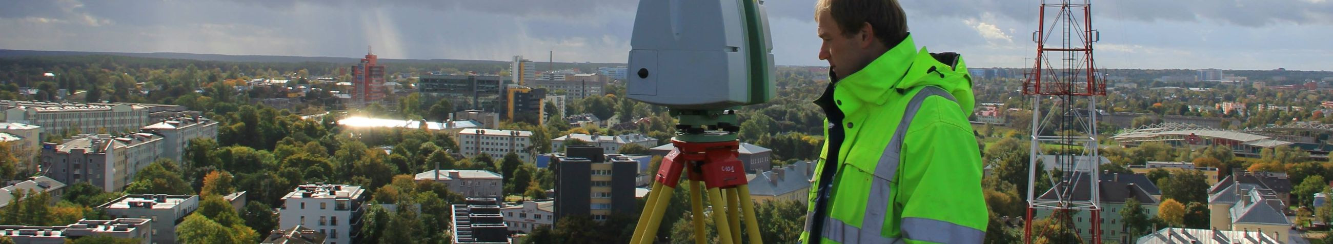
For more information:

GEO S.T. OÜ

Business media and news feed
?
Business media page visits - 3850; followers - 27. Reviews - 5; Articles 4+ "Write an opinion on GEO S.T. OÜ!"

Meie ettevõtte lugu

?

Ettevōtte juhtkond, meeskond ja kontaktid

Company Story

At the heart of modern development and construction lies the intricate art of geodesy - the foundation upon which the future is mapped. GEO S.T. OÜ stands at the forefront of this essential industry, offering a suite of geodesy and laser scanning services that are the epitome of precision and reliability.

Our journey began with a commitment to excellence, a passion for accuracy, and a vision to lead the industry with innovative solutions. We have since become the trusted partner for professionals across various sectors, providing topographical measurements, geodetic research, and high-precision geodetic work that form the backbone of successful projects.

Our mission is simple yet profound: 'We provide comprehensive geodesy and laser scanning services, ensuring accuracy and quality in every measurement.' This mission drives us to deliver excellence in every aspect of our work, from 3D laser scanning and modeling to construction geodesy, and cadastral works. Our technical prowess is matched only by our dedication to client satisfaction, making us the go-to experts for any project requiring meticulous attention to detail.

Our arsenal of cutting-edge technology, including the latest laserscanners and electronic tachymeters, is operated by a team of seasoned professionals. With tools like the Leica ScanStation, Trimble GPS systems, and advanced AutoCAD software, we are equipped to tackle the most challenging projects, delivering results that not only meet but exceed expectations.

Whether it's the precise mapping of new developments, the restoration of geodetic points, or the creation of 3D models for machine automation, our services are designed to cater to the unique needs of our clients. We pride ourselves on our ability to provide deformation studies and settlement observations that are crucial for the long-term stability and safety of structures.

With GEO S.T. OÜ, you're not just choosing a service provider; you're partnering with a visionary company that lives by the slogan, 'Mapping the Future with Precision!' Join us as we continue to shape the world with meticulous measurements and groundbreaking geodesy solutions.

Explore our services and let us demonstrate how our expertise can be the cornerstone of your next project's success. For precision that defines the future, there's no better choice than GEO S.T. OÜ.

GEO S.T. OÜ contacts

What do customers think?
?

Opinions of the company's customers

- Martin

Suurepärane teenindus ja täpsus. Tänan GEO S.T. OÜ meie projekti suurepärase juhtimise eest!

- Priit

Kiired ja täpsete tulemustega. Meeldiv koostöökogemus!

- Laura

Kiire reageerimine ja suurepärane suhtlus. Aitäh meeldiva koostöö eest!

Cooperation partners
?

The company's biggest cooperation partners

EE- Estonia

Photogrammetry vs. traditional surveying: a comparative study

Traditional surveying has been the cornerstone of land measurement and mapping for centuries. It involves the use of tools such as theodolites, levels, and total stations to measure angles, distances, and elevations. This method requires a significant amount of manual labor and time, as surveyors must physically traverse the terrain to gather data point by point. Photogrammetry, on the other hand, is a modern surveying technique that uses photographs to measure and map features on the Earth's surface. By taking overlapping images from different angles, photogrammetry software can create

Dropdown

all articles

Laser scanning: transforming historical building preservation

Historical buildings are not just structures; they are tangible links to our past, telling stories of different eras, cultures, and communities. Preserving them
ssb.ee
Historical buildings are not just structures; they are tangible links to our past, telling stories of different eras, cultures, and communities. Preserving them is crucial for educational purposes, cultural identity, and economic development through tourism. However, the delicate nature of these buildings poses unique challenges in their preservation. Laser scanning, also known as LiDAR (Light Detection and Ranging), is a cutting-edge technology that captures detailed 3D data of objects and environments. It has revolutionized the way we document, analyze, and preserve historical structures.

Are you sure you want to delete this article?

Loader

Pictures and photos

Company references and brand images

?
image
image
image
image
image
image
image
image
image
image
image
image

Loader

App Ad

Scorestorybook Chrome extension

The Storybook extension tells you which company's website you are currently on and how reliable that company is as of today. download extension

See the background of the caller! Storybook App brings you direct contacts for 400,000 Estonian companies and individuals (managers, officials). The data is enriched with solvency and financial information.