Laser scanning: transforming historical building preservation

Historical buildings are not just structures; they are tangible links to our past, telling stories of different eras, cultures, and communities. Preserving them is crucial for educational purposes, cultural identity, and economic development through tourism. However, the delicate nature of these buildings poses unique challenges in their preservation.
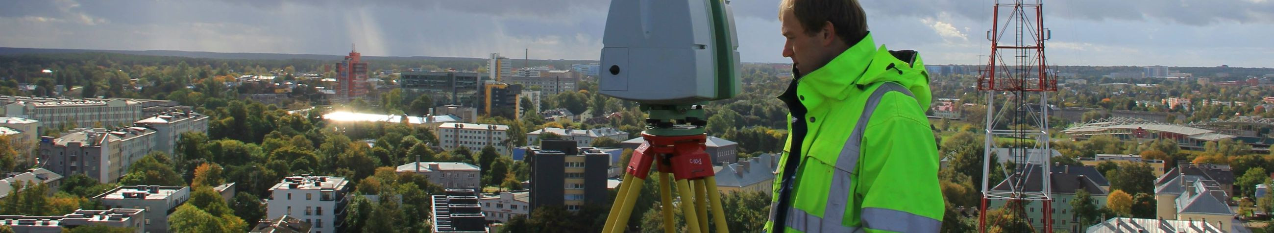
Laser scanning, also known as LiDAR (Light Detection and Ranging), is a cutting-edge technology that captures detailed 3D data of objects and environments. It has revolutionized the way we document, analyze, and preserve historical structures.
Laser scanning offers numerous benefits for historical building preservation, including non-intrusive data collection, high accuracy, and the ability to create detailed digital replicas for analysis and restoration planning.
Technological Insights
Laser scanning operates by emitting laser beams towards a target. The time it takes for the laser to bounce back is measured, creating precise 3D representations of the scanned object or area.
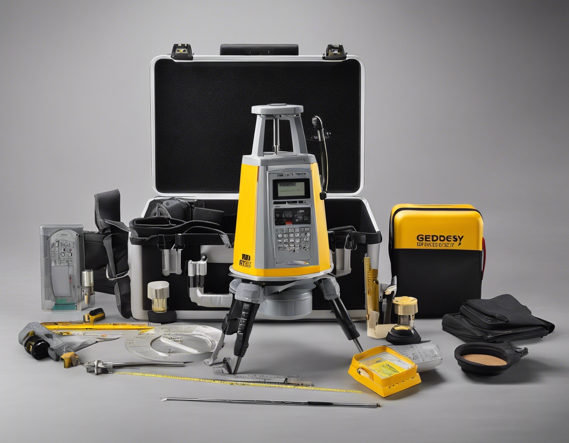
There are various types of laser scanning technologies, each with its own set of capabilities and applications. Terrestrial laser scanners, aerial LiDAR, and handheld 3D scanners are among the most commonly used in historical preservation.
Application in Historical Building Preservation
Laser scanning plays a critical role in the assessment and documentation of historical structures. It provides detailed records of their current state, which is essential for any preservation, restoration, or reconstruction work.
When it comes to restoration and reconstruction, laser scanning aids in the accurate replication of architectural details and the planning of structural reinforcements without compromising the building's historical integrity.
Regular monitoring and maintenance are vital for the longevity of historical buildings. Laser scanning can detect minute changes over time, allowing for timely interventions to prevent significant damage.
Challenges and Considerations
Scanning historical buildings can present technical challenges, such as dealing with complex geometries and reflective surfaces. Advanced techniques and experienced professionals are required to overcome these issues.
While laser scanning offers many advantages, it must be integrated thoughtfully with traditional preservation methods to ensure the best outcomes.
There are also legal and ethical considerations to take into account when using laser scanning for historical preservation, including issues of data ownership and the potential for misuse of digital replicas.
The Future of Laser Scanning in Preservation
As technology advances, we can expect to see new innovations in laser scanning that will further enhance its application in historical building preservation.
Laser scanning not only helps in preserving the past but also contributes to sustainable preservation practices by minimizing the need for invasive procedures and reducing waste.


Comments (0)