

The role of high-precision geodesy in modern construction

High-precision geodesy is the science of accurately measuring and understanding the Earth's geometric shape, orientation in space, and gravity field. Its importance in modern construction cannot be overstated, as it provides the foundational data necessary for planning, designing, and building structures that are safe, sustainable, and resilient.
From ancient landmarks to contemporary skyscrapers, geodesy has played a pivotal role in construction. The evolution of geodetic methods, from traditional surveying techniques to advanced satellite-based systems, has revolutionized the industry, allowing for unprecedented levels of precision and efficiency.
Applications of High-Precision Geodesy in Construction
Geodetic data is critical in the initial stages of construction for selecting a suitable site, assessing topography, and designing the layout of a project. High-precision measurements ensure that the land is used optimally and that the design accommodates the natural landscape.
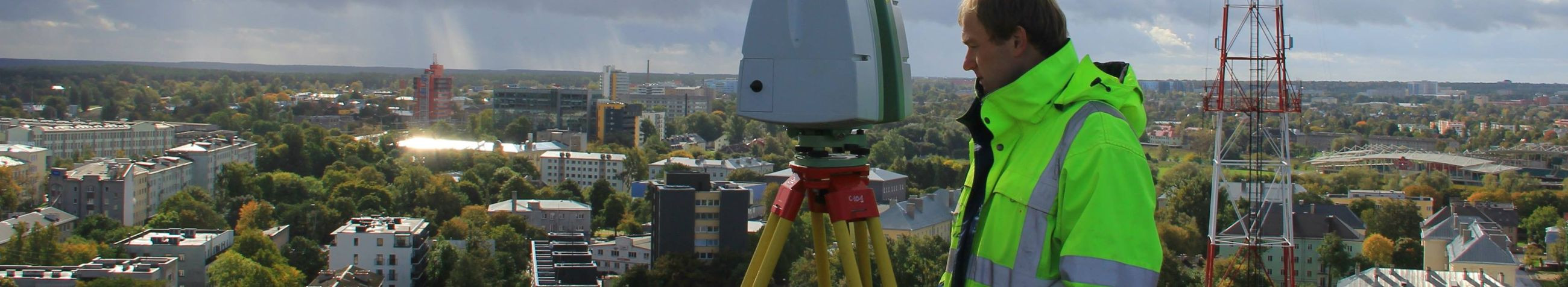
During construction, geodesy aids in the precise alignment and placement of structures. Post-construction, it is essential for monitoring structural integrity and detecting any potential shifts or deformations over time.
For large-scale projects such as transportation networks, water systems, and urban developments, high-precision geodesy provides the detailed data necessary to plan and construct complex infrastructures that serve communities effectively.
Technological Advancements in Geodesy
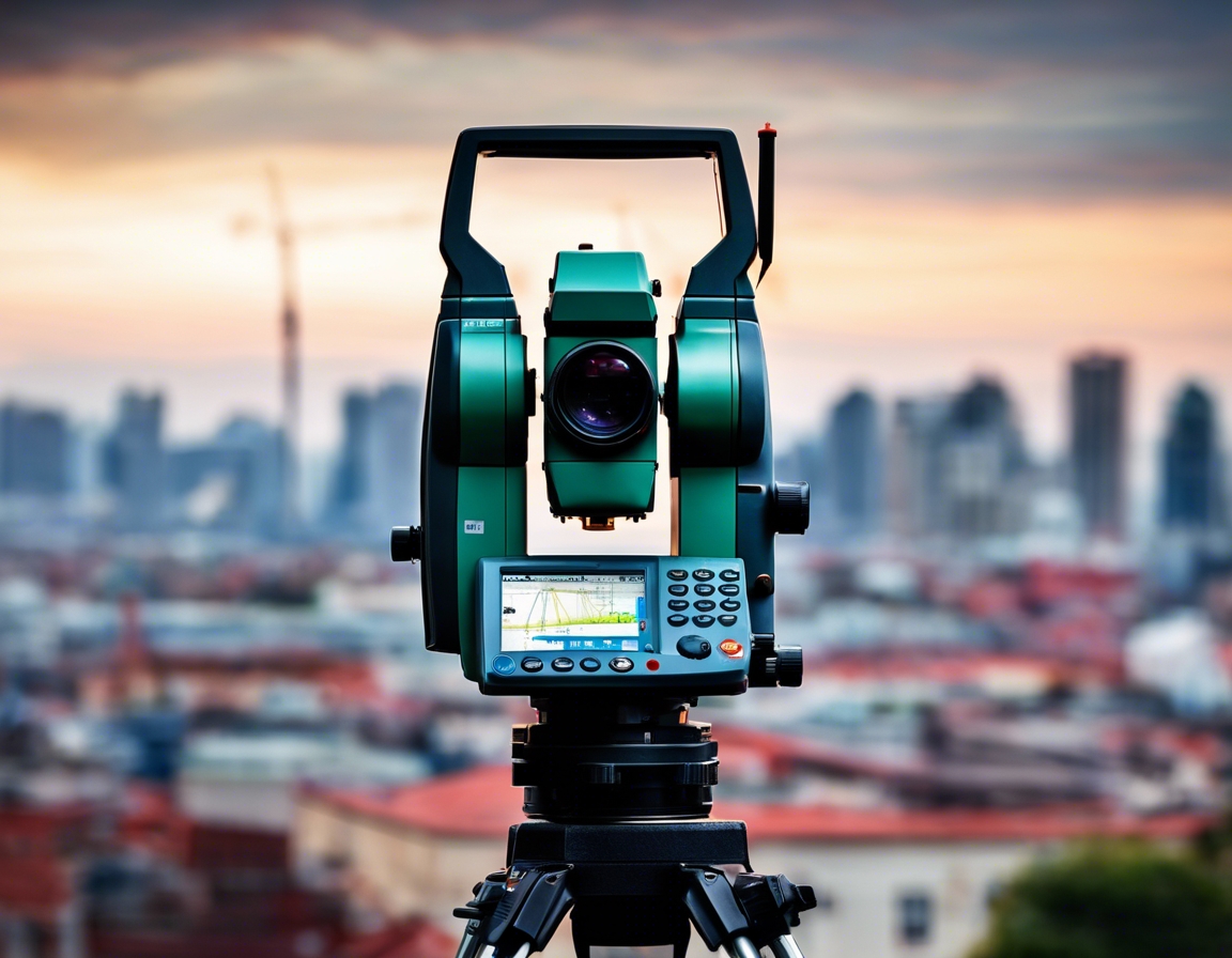
Global Navigation Satellite Systems (GNSS) have greatly enhanced the accuracy and speed of geodetic measurements, making real-time data collection and analysis possible.
Remote sensing and Light Detection and Ranging (LiDAR) technologies have transformed geodesy by enabling the collection of detailed topographical information from a distance, which is particularly useful in inaccessible or hazardous areas.
The integration of geodetic data with Building Information Modeling (BIM) systems allows for a seamless flow of information throughout the construction process, enhancing collaboration and reducing the likelihood of errors.
Challenges and Solutions in High-Precision Geodesy
Environmental factors such as weather, terrain, and human activity can affect the accuracy of geodetic measurements. Advanced technologies and methodologies are continually being developed to mitigate these challenges.
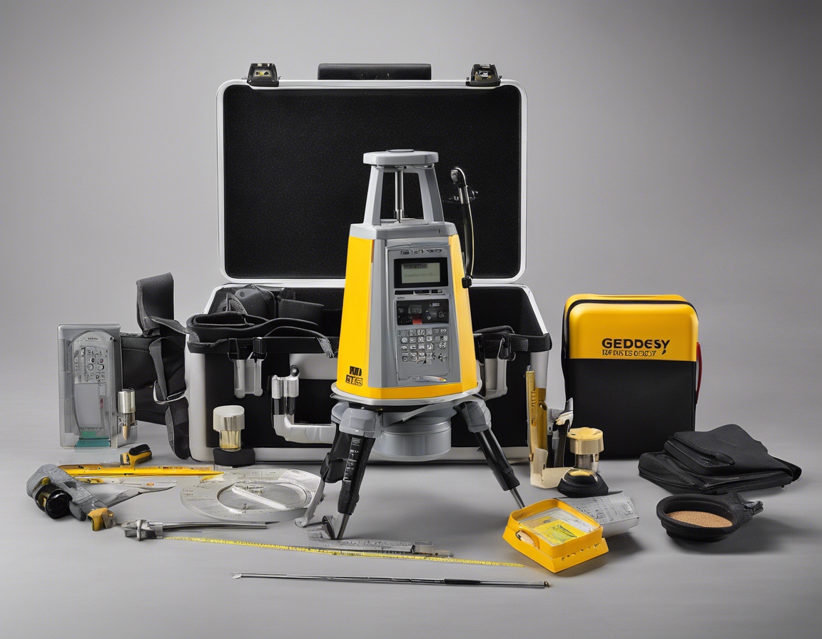
Maintaining the accuracy and reliability of geodetic data is paramount. This requires rigorous calibration of instruments, validation of data, and adherence to international standards.
The field of geodesy is evolving rapidly, with new technologies emerging regularly. Professionals in the construction industry must stay informed and adapt to these changes to leverage the full potential of high-precision geodesy.
Comments (0)