Photogrammetry vs. traditional surveying: a comparative study

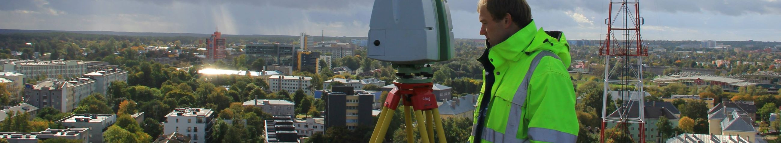
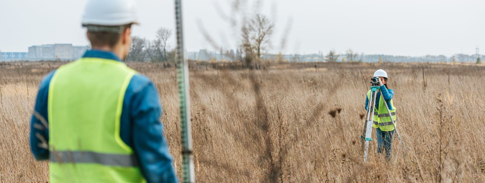
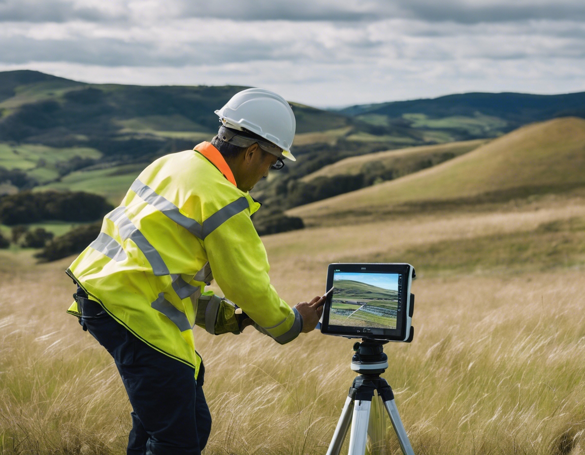
Traditional surveying has been the cornerstone of land measurement and mapping for centuries. It involves the use of tools such as theodolites, levels, and total stations to measure angles, distances, and elevations. This method requires a significant amount of manual labor and time, as surveyors must physically traverse the terrain to gather data point by point.
Photogrammetry, on the other hand, is a modern surveying technique that uses photographs to measure and map features on the Earth's surface. By taking overlapping images from different angles, photogrammetry software can create detailed 3D models and maps. This technology has revolutionized the way we capture and analyze spatial data, offering a new perspective on surveying.
Comparative Factors
When comparing photogrammetry to traditional surveying, accuracy and precision are paramount. Traditional surveying is known for its high level of precision, especially when conducted by experienced professionals. Photogrammetry, while also accurate, can be influenced by factors such as image quality and the algorithms used in processing the data.
Time efficiency is another critical factor. Traditional surveying methods can be time-consuming, as they require surveyors to measure each point individually. Photogrammetry significantly reduces the time needed for data collection by capturing thousands of data points with a single photograph.
The cost of surveying projects can vary widely depending on the chosen method. Traditional surveying often incurs higher labor costs due to the intensive manual work involved. Photogrammetry can lower these costs by reducing the time and personnel needed for a project, although initial investments in equipment and software can be substantial.
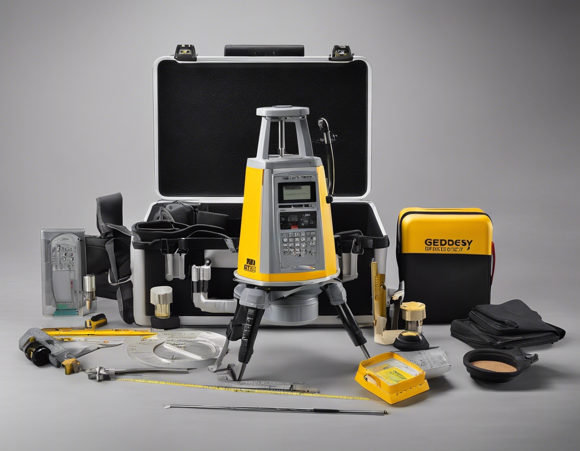
Equipment and technology are at the heart of both methods. Traditional surveying equipment is robust and reliable, with a long history of use in the field. Photogrammetry requires more advanced technology, such as drones and high-resolution cameras, as well as powerful computing resources to process the data.
Environmental considerations are increasingly important in surveying. Traditional methods can be more disruptive to the environment, as they often require physical access to sensitive areas. Photogrammetry offers a less invasive alternative, as it can be conducted from the air, minimizing the impact on the ground.
The scope of application for each method varies. Traditional surveying is highly versatile and can be applied to almost any environment. Photogrammetry excels in areas that are difficult to access or cover large expanses, such as mountainous regions or expansive developments.
Advantages of Photogrammetry
One of the most significant advantages of photogrammetry is its ability to collect comprehensive data quickly. This method captures detailed images that can be used to create intricate models, offering a level of detail that is challenging to achieve with traditional surveying.
Photogrammetry enhances safety by allowing surveyors to collect data from a distance, reducing the need to enter hazardous or inaccessible areas. This accessibility is particularly beneficial in surveying dangerous sites such as active construction areas or unstable terrain.
Photogrammetry integrates seamlessly with other technologies, such as Geographic Information Systems (GIS) and Building Information Modeling (BIM). This compatibility enables a more holistic approach to project planning and execution.
Challenges of Photogrammetry
Despite its advantages, photogrammetry does require a certain level of technical expertise. Surveyors must be skilled in operating drones, managing sophisticated software, and interpreting complex data sets.
The software and processing power needed for photogrammetry can be a barrier for some firms. High-quality photogrammetry software is essential for accurate data interpretation, and the computational demands of processing large data sets can be significant.
Future of Surveying
As technology continues to advance, the future of surveying looks increasingly digital. Innovations in photogrammetry, such as improved sensors and machine learning algorithms, are poised to enhance the accuracy and efficiency of data collection.
Industry trends indicate a growing preference for photogrammetry and other digital surveying methods. As the demand for faster, more accurate data increases, photogrammetry is set to become an even more integral part of the surveying landscape.
Comments (0)