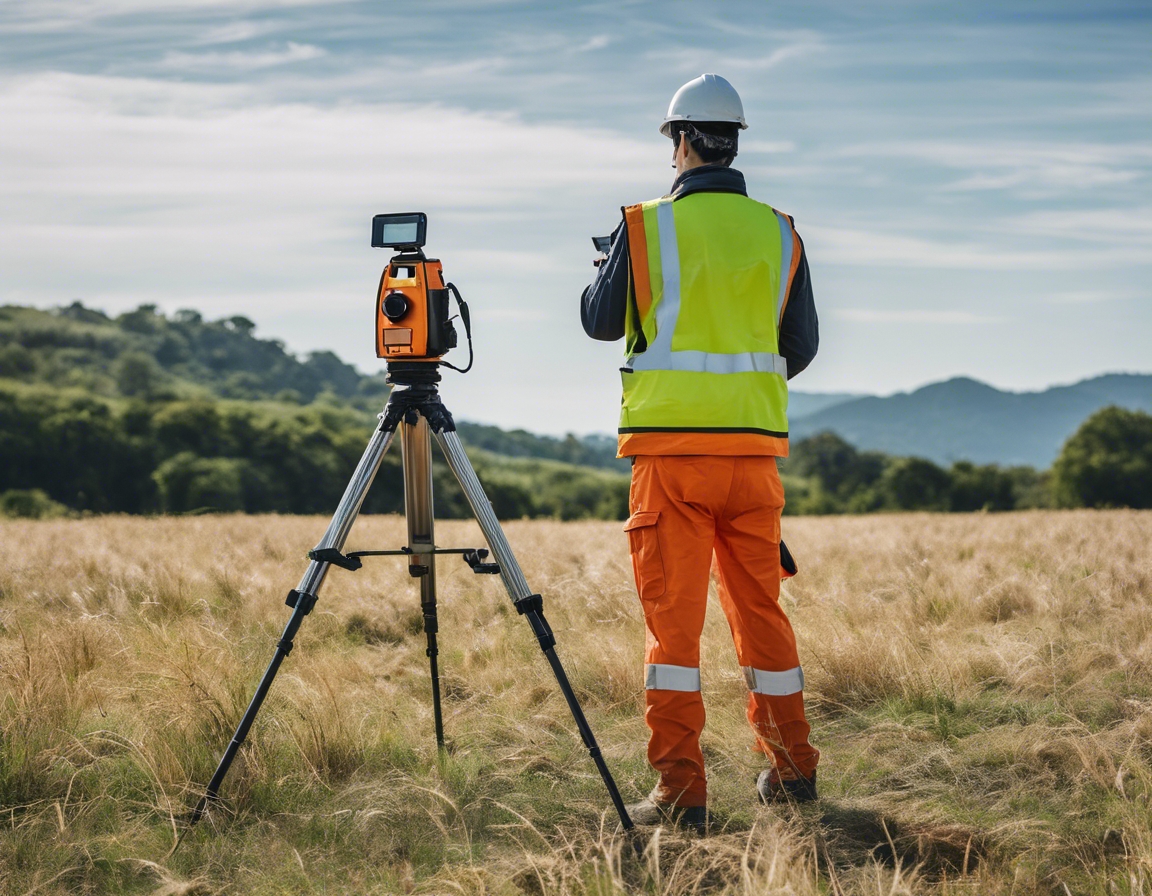
Top 5 benefits of geodetic surveys in modern building projects
Geodetic surveys are a critical component of modern construction, providing a framework for precise measurements and mapping of the Earth's surface. By taking into account the curvature of the Earth, geodetic surveys enable architects, engineers, and builders to plan and execute projects with a high degree of accuracy.
The integration of advanced technology such as GPS and GIS has revolutionized geodetic surveys, making them more accurate and accessible than ever before. This evolution has had a profound impact on the construction industry, allowing for more complex and ambitious projects to be realized.
Benefit #1: Precision and Accuracy in Measurements
One of the primary benefits of geodetic surveys is the significant reduction of measurement errors. Accurate geospatial data ensures that every aspect of a building project aligns with the planned specifications, preventing costly mistakes and rework.
Precision in construction is not just about adhering to blueprints; it's about ensuring the structural integrity and longevity of the finished product. Geodetic surveys provide the level of detail required for such precision.
Benefit #2: Cost Efficiency and Budget Management
Geodetic surveys contribute to cost efficiency by optimizing the use of materials and resources. Accurate site data allows for precise calculations of required materials, minimizing waste and reducing overall project costs.
Investing in geodetic surveys can lead to significant long-term savings by ensuring that projects are completed correctly the first time, avoiding future expenditures on corrections and maintenance.
Benefit #3: Risk Mitigation and Safety
Early identification of potential site issues through geodetic surveys can prevent project delays and mitigate risks associated with construction. This proactive approach is essential for maintaining project timelines and budgets.
By providing detailed information about the site, geodetic surveys help in planning safe construction practices and creating a safer work environment, thereby reducing the likelihood of accidents.
Benefit #4: Regulatory Compliance and Documentation
Geodetic surveys are instrumental in ensuring that building projects comply with local, national, and international regulations. Accurate documentation of the site and construction process aids in meeting these standards.
Comprehensive geodetic data can streamline the approval process by providing authorities with the detailed information they need to assess project viability and compliance.
Benefit #5: Sustainable Development and Environmental Protection
Geodetic surveys play a role in sustainable development by enabling precise planning that minimizes environmental impact. This allows for the integration of eco-friendly features into building designs.
By providing accurate spatial data, geodetic surveys contribute to the larger picture of sustainable urban planning, helping to create spaces that are both functional and in harmony with the environment.


Comments (0)