


Understanding cadastral surveying: a comprehensive guide

Cadastral surveying is a specialized field of surveying that involves the detailed documentation of property boundaries, land ownership, and land value. It serves as a critical foundation for land registration systems, informing legal decisions, and ensuring fair taxation.
The practice of cadastral surveying dates back centuries, evolving from simple land measurements to complex analyses of land parcels. Its development has been influenced by technological advancements and the growing needs of societies for accurate land records.
The Importance of Cadastral Surveys
Cadastral surveys are essential for establishing a clear legal framework for property rights, helping to prevent disputes and facilitate transactions. They are the backbone of any efficient property market and land management system.
For urban planners and developers, cadastral surveys provide the necessary data to design infrastructure, manage land resources, and guide development in a sustainable manner.
Environmental management also benefits from cadastral surveys, as they help in identifying protected areas, assessing land use impacts, and planning for conservation efforts.
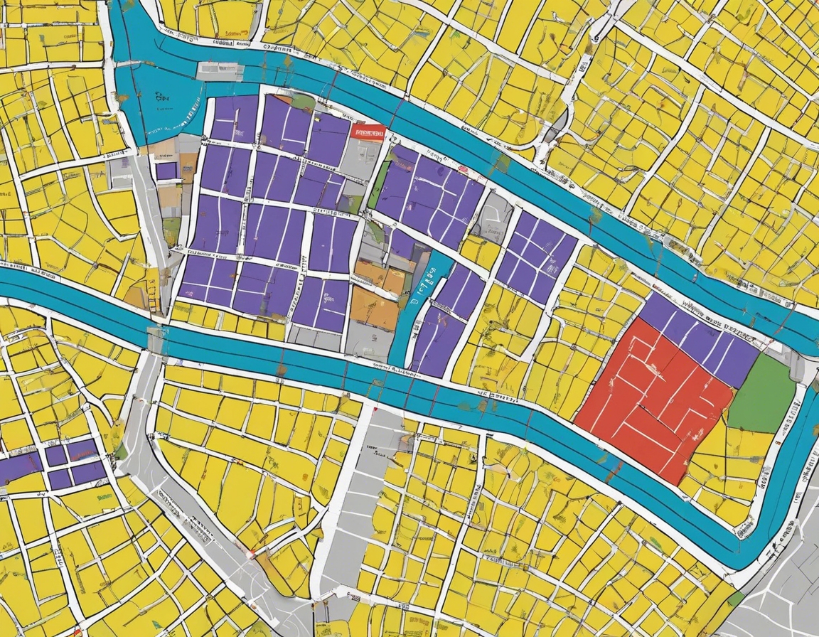
Types of Cadastral Surveys
Boundary surveys are conducted to determine the exact location of property lines and corners, which is crucial for any construction or development project.
Subdivision surveys are used when a land parcel is divided into smaller lots, ensuring that each new lot complies with local zoning and subdivision regulations.
Construction surveys involve the staking out of structures on a property, providing guidance for builders and ensuring that the construction adheres to the approved plans.
Techniques and Technologies in Cadastral Surveying
Traditional methods, such as theodolites and chain measurements, have been used for centuries and still play a role in modern surveying, especially in areas with difficult terrain or where high-tech equipment is not available.
Today, cadastral surveyors utilize state-of-the-art equipment like total stations, GPS, and drones to capture data with high precision and efficiency.
GIS technology has revolutionized cadastral surveying by enabling the management, analysis, and visualization of spatial data, enhancing decision-making processes.
Legal and Ethical Considerations
Cadastral surveyors must strictly adhere to local laws and regulations to ensure that their work is legally sound and can withstand legal scrutiny.
The profession demands high ethical standards, including integrity, objectivity, and confidentiality, to maintain public trust and uphold the reputation of the surveying community.
Choosing the Right Cadastral Surveyor
Selecting a surveyor with the right qualifications and experience is critical to the success of any project that requires precise land measurements and legal property delineation.
A competent cadastral surveyor must be able to understand and address the specific needs of clients, providing tailored solutions that meet their project requirements.
Quality and accuracy are non-negotiable in cadastral surveying. Clients should seek surveyors who are committed to delivering the highest standards of service.

Comments (0)