

The role of geodesy in modern construction

Geodesy is the science of accurately measuring and understanding the Earth's geometric shape, orientation in space, and gravity field. It is a critical discipline in the field of construction, providing the foundational data necessary for planning, designing, and building structures.
Geodesy plays a pivotal role in modern construction. It ensures that structures are built on solid ground, align correctly with the Earth's surface, and fit within their designated boundaries. Accurate geodetic measurements are essential for the stability and longevity of any construction project.
Applications of Geodesy in Construction Projects
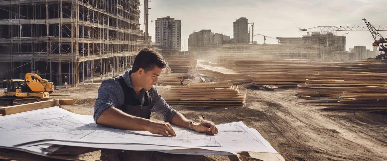
Before any construction begins, geodesists work to determine the precise topography of the land. This information is crucial for architects and engineers to design buildings that are not only aesthetically pleasing but also structurally sound and in harmony with the surrounding landscape.
Geodesy informs the foundation design by providing data on soil stability and land characteristics. This ensures that the foundation can support the proposed structure, preventing future issues such as subsidence or structural failure.
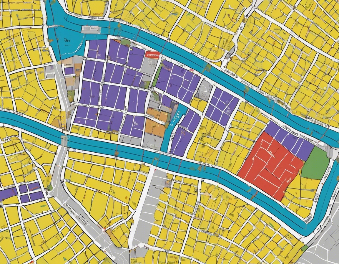
Geodesists play a key role in the planning and development of infrastructure such as roads, bridges, and utilities. Their work helps to optimize routes, manage land use, and integrate new developments into existing urban landscapes.
Geodetic Technologies and Tools
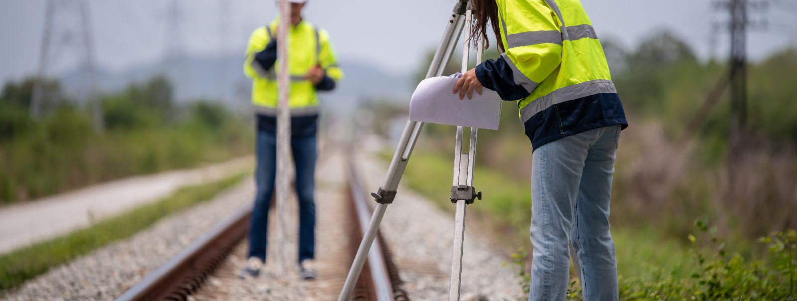
GPS technology has revolutionized geodesy by providing real-time, precise positioning data. In construction, GPS is used for mapping, surveying land, and guiding machinery, ensuring that every element of the project is executed to exact specifications.
GIS is a powerful tool that allows for the visualization, analysis, and interpretation of geospatial data. In construction, GIS is used to manage and analyze data related to the project site, including environmental impact assessments and the planning of utilities.
Laser scanning and photogrammetry are methods used to capture detailed 3D data of a site or structure. This data is invaluable for creating accurate models, assessing project progress, and ensuring that construction is proceeding according to plan.
Geodesy and Legal Aspects in Construction
Accurate determination of property boundaries is a fundamental application of geodesy in construction. It is essential for avoiding legal disputes and ensuring that all construction activities are within the project's legal limits.
Geodesy helps to ensure compliance with zoning laws and environmental regulations by providing precise measurements that are used to evaluate the impact of construction on the surrounding area.
Geodesy's Impact on Construction Efficiency and Safety
The accuracy and precision provided by geodetic measurements lead to more efficient construction processes, reducing the risk of costly errors and project delays.
Geodesy contributes to construction safety by enabling precise monitoring of structures during and after construction, which can predict and prevent potential failures.
Future Trends in Geodesy and Construction
Geodesy is increasingly being integrated with BIM technology, allowing for more collaborative and interactive project management. This integration enhances the planning, design, and construction process, leading to smarter and more sustainable buildings.
The future of construction will see continued advancements in geodetic instruments and software, providing even greater accuracy and efficiency in construction projects. Innovations such as autonomous surveying drones and advanced data processing algorithms are on the horizon.
Comments (0)