3D3 OÜ

Media page and news feed
?
Welcome to a world where precision meets innovation. At 3D3 OÜ, we are dedicated to transforming the way you perceive and interact with your environment. Our mi

Company Story

Welcome to a world where precision meets innovation. At 3D3 OÜ, we are dedicated to transforming the way you perceive and interact with your environment. Our mission is to bring the future into the present with our state-of-the-art 3D laser scanning, detailed surveying models and drawings, and immersive 360 virtual tours.

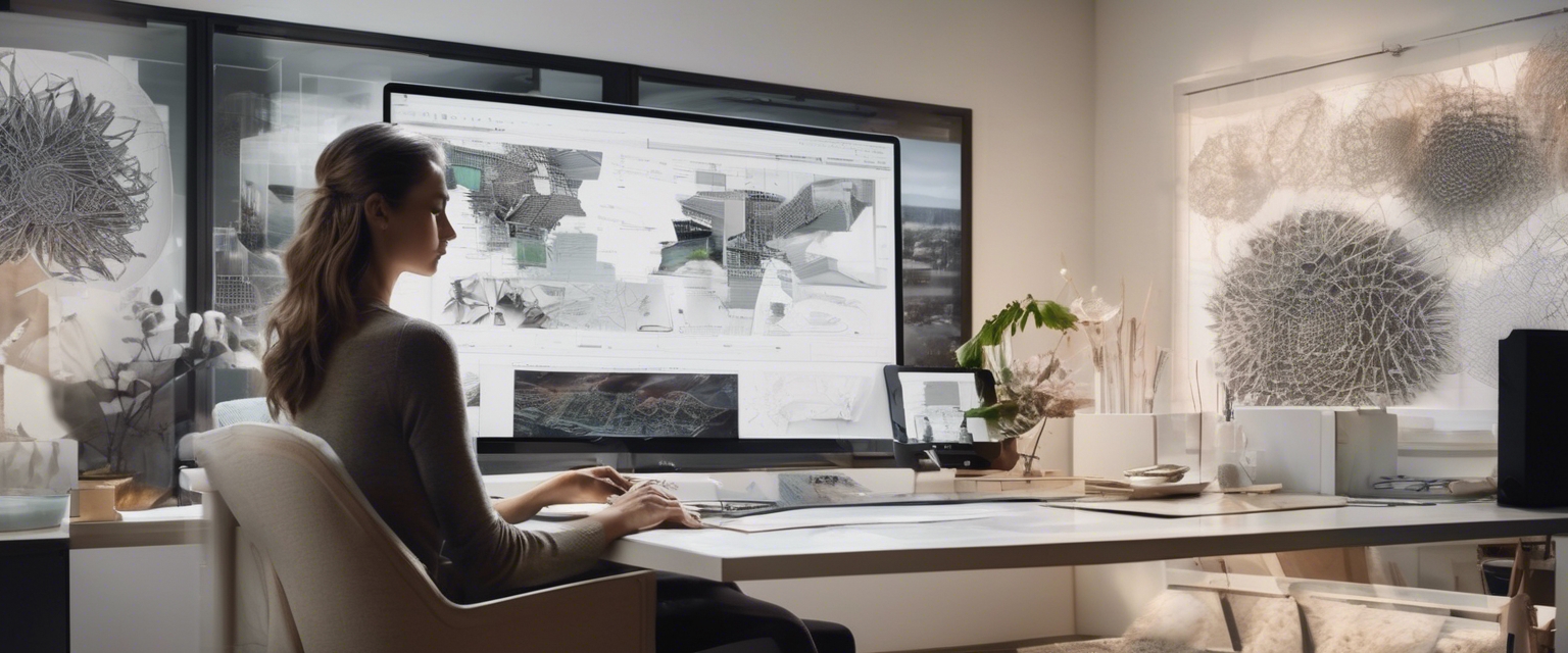
Imagine having the ability to explore every nook and cranny of a space without ever setting foot inside it. Our 360 virtual tours offer just that, providing an unparalleled level of detail and immersion that allows you to experience environments as if you were truly there. Whether you're an architect, engineer, or designer, our services are tailored to meet your specific needs, ensuring that you have the most accurate and comprehensive data at your fingertips.

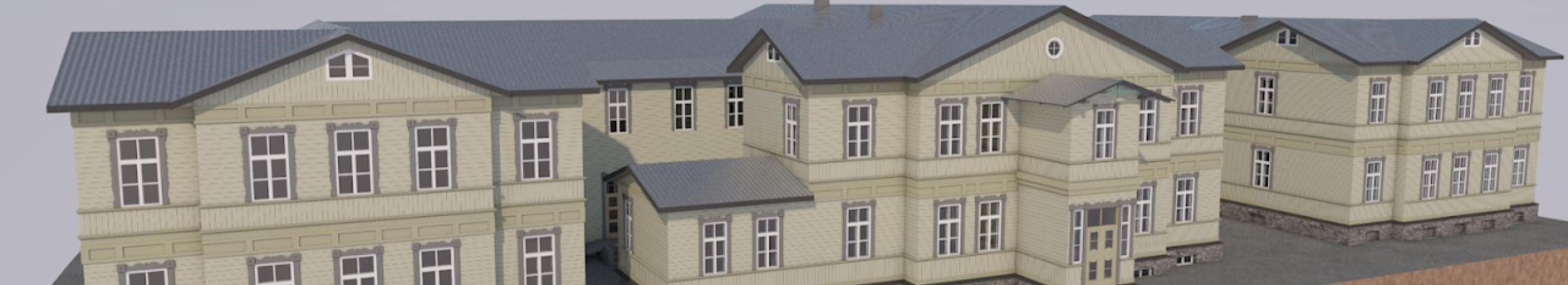
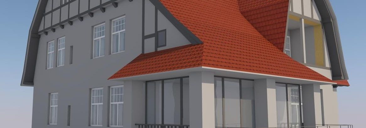
Our expertise doesn't stop at virtual tours. We specialize in creating precise models and drawings of technical systems, utilizing advanced 3D laser scanning technology. This allows us to capture even the most intricate details, providing you with the information you need to make informed decisions and bring your projects to life.

In addition to our core services, we also offer drone photogrammetry, a cutting-edge technique that combines aerial photography with precise measurements to create highly accurate 3D models. This technology is perfect for large-scale projects, offering a bird's-eye view that is both comprehensive and detailed.

At 3D3 OÜ, we believe in the power of visualization. Our slogan, 'Visualize the Future!', encapsulates our commitment to providing you with the tools and insights you need to see beyond the present and into the possibilities of tomorrow. Join us on this journey and discover how our innovative solutions can elevate your projects to new heights.

Comments (0)


Are you sure you want to delete this article?

Dropdown

all articles

The benefits of drone photogrammetry for surveying

Drone photogrammetry is revolutionizing the field of surveying by providing a cutting-edge method for capturing detailed and accurate spatial data. This technol
ssb.ee
Drone photogrammetry is revolutionizing the field of surveying by providing a cutting-edge method for capturing detailed and accurate spatial data. This technology utilizes drones equipped with high-resolution cameras to capture a series of overlapping images of a survey area. These images are then processed using specialized software to create precise 3D models and maps. As a result, drone photogrammetry offers a powerful tool for professionals in architecture, engineering, construction, and real estate development, enabling them to visualize and analyze complex designs with unprecedented

How 360 virtual tours are transforming real estate

In the ever-evolving landscape of real estate, technology continues to play a pivotal role in transforming how properties are marketed and sold. Among the most
ssb.ee
In the ever-evolving landscape of real estate, technology continues to play a pivotal role in transforming how properties are marketed and sold. Among the most significant advancements is the advent of 360 virtual tours. These immersive experiences allow potential buyers and stakeholders to explore properties from the comfort of their own homes, providing a comprehensive view that static images and traditional videos simply cannot match. The Role of 360 Virtual Tours in Real Estate 360 virtual tours have revolutionized property listings by offering a dynamic and interactive way to showcase

The future of 3d laser scanning in construction

3D laser scanning is revolutionizing the construction industry by providing precise and comprehensive data that enhances the accuracy and efficiency of construc
ssb.ee
3D laser scanning is revolutionizing the construction industry by providing precise and comprehensive data that enhances the accuracy and efficiency of construction projects. This technology uses laser beams to capture the exact dimensions and spatial relationships of objects and environments, creating detailed 3D models that can be used throughout the construction process. Current Applications of 3D Laser Scanning One of the primary applications of 3D laser scanning in construction is surveying and mapping. This technology allows for the rapid collection of accurate data over large areas,

Are you sure you want to delete this article?

Loader

Loader

App Ad

Scorestorybook Chrome extension

The Storybook extension tells you which company's website you are currently on and how reliable that company is today. download extension

See the background of the caller! Storybook App brings you direct contacts for 400,000 Estonian companies and individuals (managers, officials). The data is enriched with solvency and financial information.