5 trends shaping the future of spatial planning
The landscape of spatial planning is undergoing a significant transformation, driven by technological advancements, environmental concerns, and evolving societal needs. As we look to the future, several key trends are emerging that promise to reshape how we approach the development and management of our urban and rural spaces. In this post, we'll explore five trends that are set to influence the future of spatial planning, offering insights for real estate developers, construction companies, government agencies, and private landowners.
1. Integration of Advanced Technologies
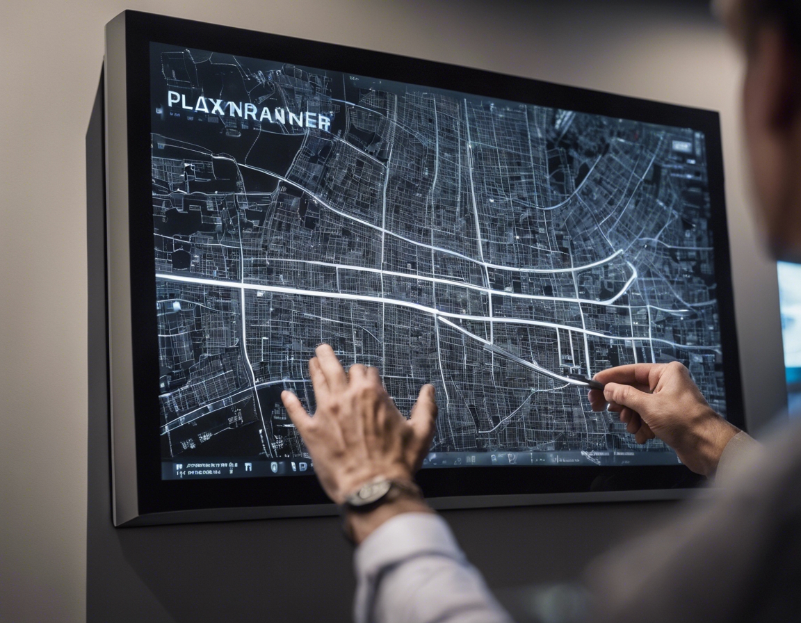
GIS technology has become an indispensable tool in spatial planning, enabling professionals to analyze and visualize geographic data in ways that inform smarter decision-making. The integration of GIS with other technologies, such as IoT sensors and real-time data feeds, is enhancing its capabilities further, allowing for more dynamic and responsive planning processes.
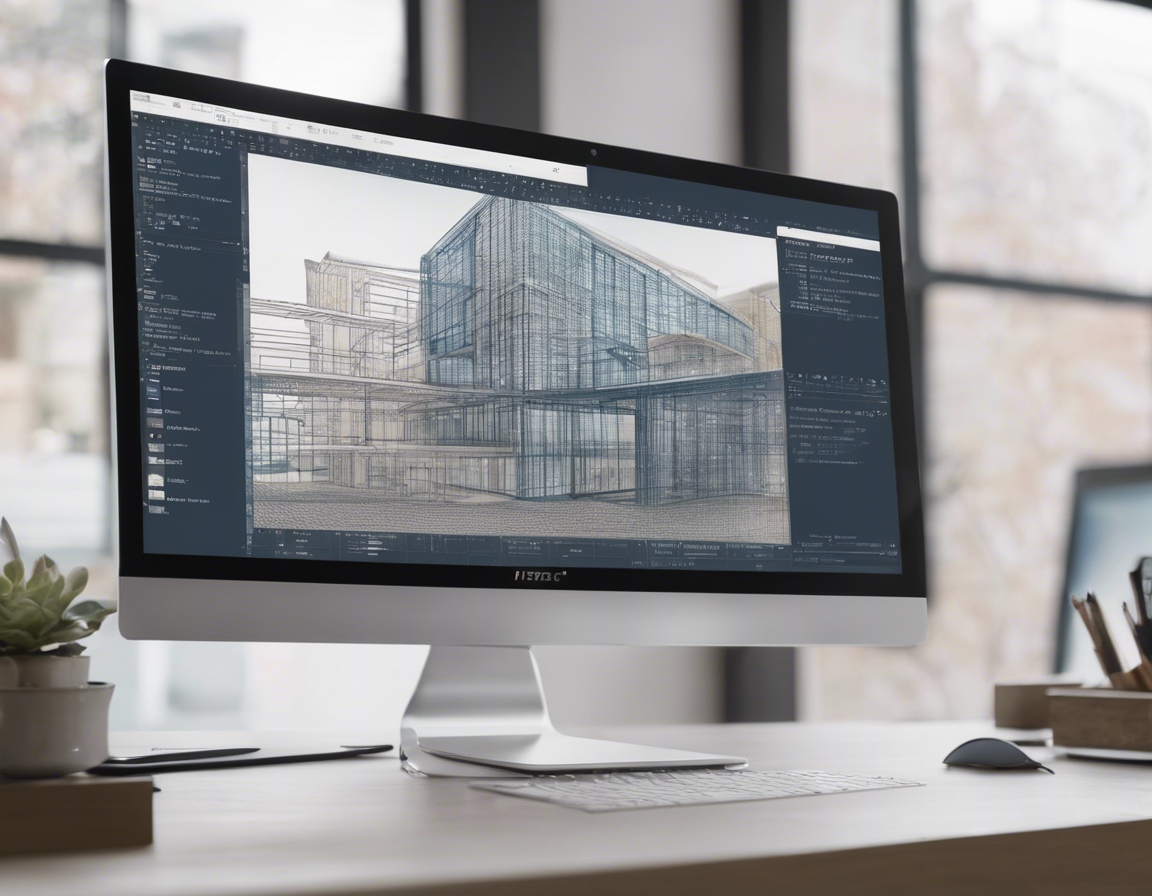
BIM is revolutionizing the construction and planning industries by providing a digital representation of the physical and functional characteristics of a facility. As BIM technology continues to advance, its integration with spatial planning is facilitating more efficient and accurate project delivery, from conception through to construction and maintenance.
VR and AR are offering new ways to visualize and interact with spatial data. Planners and stakeholders can now immerse themselves in virtual environments that simulate proposed developments or changes to existing landscapes, improving understanding and communication throughout the planning process.
2. Emphasis on Sustainability and Resilience
With the increasing impacts of climate change, spatial planning must prioritize designs that are adaptable to a range of environmental conditions. This includes considering the long-term sustainability of materials, building techniques, and land use to ensure resilience against extreme weather events and other climate-related challenges.
Green infrastructure is becoming a cornerstone of sustainable development, with planners integrating natural systems and processes into the built environment. This approach not only enhances biodiversity and ecosystem services but also provides social and economic benefits to urban and rural communities alike.
SUDS are critical in managing water runoff in a sustainable way, reducing the risk of flooding and water pollution. As part of a broader strategy for sustainable development, SUDS are being incorporated into spatial planning to create more resilient and environmentally friendly urban landscapes.
3. Participatory Planning and Community Engagement
Engaging the community in the planning process is essential for creating spaces that meet the needs and desires of those who use them. Crowdsourcing ideas and feedback through digital platforms allows for a more inclusive and democratic approach to planning.
Co-design sessions and collaborative workshops bring together diverse stakeholders to contribute to the planning process. This hands-on approach fosters a sense of ownership and ensures that multiple perspectives are considered in the development of spatial plans.
Digital platforms are streamlining the way planners engage with stakeholders, providing tools for communication, visualization, and the collection of feedback. These platforms are making the participatory planning process more accessible and efficient.
4. Focus on Mobility and Multimodal Transportation
TOD is a planning strategy that focuses on creating compact, walkable communities centered around high-quality public transportation. This approach promotes sustainable urban growth and reduces reliance on private vehicles.
Smart mobility solutions, such as real-time traffic management and autonomous vehicles, are transforming how we think about transportation in urban planning. These technologies promise to improve efficiency, reduce congestion, and enhance the overall quality of urban life.
Improving walkability and cycling infrastructure is a key trend in spatial planning, as these modes of transportation are not only sustainable but also contribute to healthier and more vibrant communities. Planners are increasingly prioritizing pedestrian and cyclist-friendly designs in urban development.
5. Data-Driven Decision Making and Policy Development
The use of big data analytics in spatial planning is enabling a more nuanced understanding of how spaces are used and how they can be optimized. By analyzing large datasets, planners can identify patterns and trends that inform more effective policies and designs.
Predictive modeling tools are aiding planners in forecasting the impacts of different development scenarios. This allows for better-informed decisions and the ability to anticipate future challenges and opportunities.
Policy simulation and scenario planning are becoming increasingly important in spatial planning. These methods help planners and policymakers test the effects of proposed policies before they are implemented, ensuring that they are both effective and adaptable to changing conditions.


Comments (0)