


Navigating geodetic surveying in urban development

Geodetic surveying is a critical component of urban development, providing the foundational data necessary for precise planning and construction. It involves the measurement and understanding of the Earth's geometric shape, orientation in space, and gravity field, which is essential for creating accurate maps and planning infrastructure projects.
Urban planning relies heavily on geodetic surveying to inform the design and implementation of development projects. Accurate geodetic data ensures that buildings, roads, and utilities are constructed in the correct locations and built to last.
The Importance of Precision in Urban Development
Urban environments present unique challenges for geodetic surveying, including dense infrastructure, high-rise buildings, and complex property boundaries. These factors necessitate high-precision measurements to avoid costly mistakes and legal disputes.
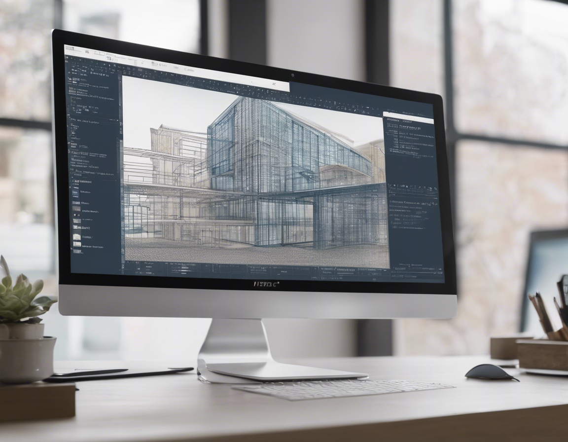
Advancements in technology, such as GPS, laser scanning, and drones, have revolutionized geodetic surveying, allowing for faster and more accurate data collection even in the most challenging urban landscapes.
Integrating Geodetic Surveying with Urban Development Projects
During the pre-construction phase, geodetic surveying is used to assess the site, identify potential issues, and aid in the creation of detailed project plans that align with regulatory requirements.
Throughout the construction process, ongoing geodetic surveys help monitor progress, ensure structures are built according to plan, and make necessary adjustments in real-time.
After construction, geodetic surveying provides the data needed for final documentation, helps in the assessment of the project's impact on the surrounding area, and ensures that the new development integrates seamlessly into the existing urban fabric.
Regulatory Compliance and Geodetic Surveying
Geodetic surveying plays a pivotal role in ensuring that urban development projects comply with local zoning laws and building codes, which are critical for legal validation and the safety of the community.
Modern urban development must also consider environmental sustainability. Geodetic surveying aids in the planning of green spaces, the management of natural resources, and the minimization of the environmental footprint of new developments.
Choosing the Right Geodetic Surveying Partner
When selecting a geodetic surveying partner, it's important to choose a company with a proven track record, state-of-the-art technology, and a deep understanding of local regulations and environmental concerns.
WESENBERG OÜ stands at the forefront of geodetic surveying, offering unparalleled expertise, cutting-edge technology, and a commitment to sustainability in urban development. Our team is equipped to handle the complexities of urban surveying, ensuring your project's success from conception to completion.

Comments (0)