
Ehitusgeodeesia, mis tagab täpsuse igas ehitusetapis

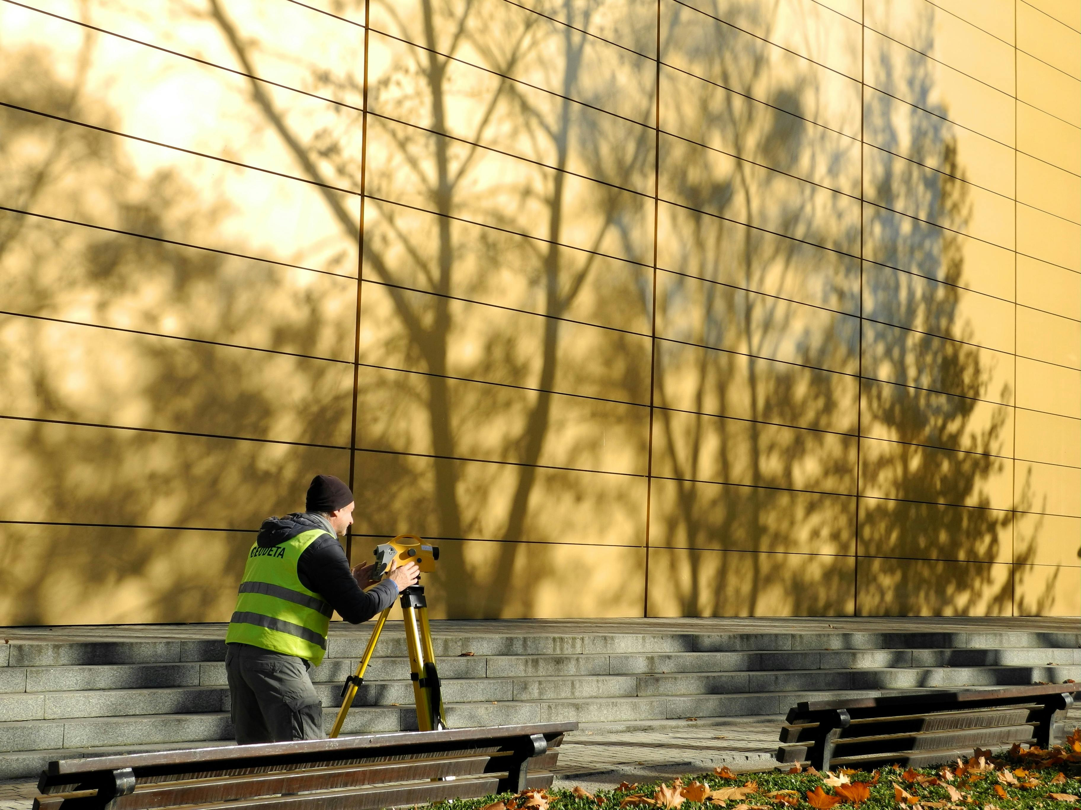
Ehitusgeodeesia on ehitusprojekti kvaliteedi üks olulisemaid tugiteenuseid, mis aitab tagada, et kõik mõõdud, asukohad ja kõrgused vastavad projektile ning nõuetele. Täpsed geodeetilised mõõdistused annavad kindluse nii projekteerijale, ehitajale kui ka tellijale, et töö kulgeb õigel trajektooril alates ettevalmistusest kuni lõpliku dokumentatsioonini.
Eriti oluline on teostusmõõdistamine, asendimõõdistamine ja kõrgusmõõdistamine, mis loovad usaldusväärse aluse ehitustööde kontrollimiseks ja valminud lahenduse dokumenteerimiseks. Korrektsed mõõdistused aitavad vältida vigasid, ennetada ümbertegemist ning vähendada ajakulu nii objektil kui ka bürootöös.
Milleks ehitusgeodeesiat vaja on?
Ehitusobjektidel ei piisa ainult kvaliteetsetest materjalidest ja heast ehitusmeeskonnast. Sama tähtis on täpne ruumiline kontroll. Ehitusgeodeesia aitab määrata ehitise täpse asukoha, kontrollida elementide kõrguseid ning kinnitada, et rajatud konstruktsioonid vastavad projektdokumentatsioonile.
See tähendab paremat töökorraldust, vähem ootamatusi ja sujuvamat koostööd kõigi osapoolte vahel. Kui mõõdistused on tehtud korrektselt, saab otsuseid langetada kindlal alusel ning ehitusprotsess püsib kontrolli all.
Olulisemad teenused ehitusprotsessi toetamiseks
- Teostusmõõdistamine – valminud või pooleliolevate ehitusosade täpne mõõdistamine dokumentatsiooni jaoks.
- Asendimõõdistamine – ehitise või ehituselementide asukoha kontroll projekti suhtes.
- Kõrgusmõõdistamine – tasapindade, vundamentide ja konstruktsioonide kõrguste täpne määramine.
- Ehituse kontrollmõõdistused – täpsuse jälgimine tööde erinevates etappides.
Kes saab ehitusgeodeesiast enim kasu?
Ehitusgeodeesia on vajalik arendajatele, peatöövõtjatele, ehitusettevõtetele, projekteerijatele ja ka eraobjektide tellijatele, kes soovivad kindlust, et ehitus vastab projektile. Täpsed mõõdistused on eriti väärtuslikud keerukamate objektide puhul, kus väikegi kõrvalekalle võib hiljem põhjustada suuri kulusid.
Professionaalne geodeetiline tugi aitab vähendada riske ja toetab kogu projekti läbipaistvust. Kui asukoht ja kõrgused on kontrollitud õigel ajal, on lihtsam vältida seisakuid ning hoida ehitus ajakavas.
Miks valida täpne geodeetiline mõõdistamine?
Täpsus ehitusel ei ole lihtsalt mugavus, vaid otsene kvaliteedi- ja kuluefektiivsuse tegur. Hästi teostatud ehitusgeodeesia aitab:
- vähendada ehitusvigu ja ümbertöid;
- kiirendada tööde vastuvõtmist ja dokumenteerimist;
- tagada vastavuse projektdokumentidele ja nõuetele;
- säästa aega kogu ehitusprotsessi vältel;
- luua kindlust nii ehitajale kui tellijale.
Korrektsed geodeetilised andmed muudavad ehitusprotsessi sujuvamaks ja aitavad hoida fookust kõige olulisemal – kvaliteetsel lõpptulemusel. Kui eesmärk on täpne, usaldusväärne ja nõuetele vastav ehitus, on ehitusgeodeesia asendamatu partner kogu tööprotsessi vältel.
Comments (0)