REK PROJEKT OÜ

Media page and news feed
?
This company's branding has already reached 792 peopleand his is followed by 1 Storybook user.On average, the company has been rated 3.8 points.but there is no

REK PROJEKT OÜ current status

This company's branding has already reached 792 peopleand his is followed by 1 Storybook user.On average, the company has been rated 3.8 points.but there is no comment.

Tegevusaruanne 2022

Juhatus juhatuse liikme tasu ei saanud.

Ettevõte loodi 24.10.2019.a.

Tegevusalad (EMTAK): Inseneritegevused ning nendega seotud tehniline nõustamine (7112)

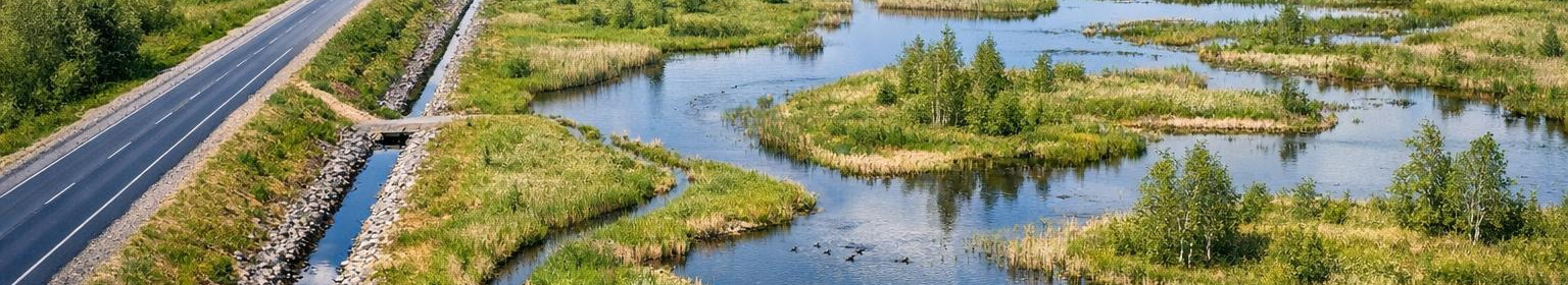
MATER: - MK0322-00 Maaparanduse ekspertiis - MO0322-00 Maaparandussüsteemi omanikujärelevalve - MP0322-00 Maaparandussüsteemi projekteerimine - MU0322-00 Maaparanduse uurimistöö

MTR: - Projekteerimine: EEP004306 2022 aruandeaasta jooksul toimunud tähtsamad sündmused ettevõtte tegevuse seisukohalt: - Teede projekteerimise raamlepingusse 2022-2026 kvalifitseerumine.

- Tööprotsesside arendamine töökvaliteedi- ja kiiruse tõstmiseks uute tööriistade ja tarkvarade abil.

2023 aasta olulisemad tegevusplaanid ja suunad järgnevateks perioodideks saadud litsentsid –jne: - Töövõime ja töökvaliteedi hoidmine kõrgel tasemel.

Milline on Äriühingu investeerimispoliitika: - Põhilised investeeringud on tehtud. Investeerida vaid erandkorras.

Ettevõtte käive 2022 aastal oli 174 600 €. Palgafond 16 062 €.

Ettevõte jätkab samal tegevusalal.

Comments (0)


Are you sure you want to delete this article?

Dropdown

all articles

Advanced aerometer solutions: fast surface model processing and high-quality geometry data

Aeronimeter for the creation of accurate surface models and geo-data     Aeronimeter   collects high resolution air and drone-based data, which is further proce
ssb.ee
Aeronimeter for the creation of accurate surface models and geo-data Aeronimeter collects high resolution air and drone-based data, which is further processed with a professional data processing workflow. As a result, accurate surface models, orthographs and abundant geometry data will be completed, which will provide a solid basis for design, risk assessment and land management. What includes surface model processing and drones data processing? The surface model processing includes data purification, point cloud generation, digital surface and soil modelling and correct alignment of

Land improvement design: efficient drainage solutions to increase agricultural productivity

The best start for healthy fields and lower maintenance costs    < The design of land improvement   provides a solid basis for the correct water regime, high
ssb.ee
The best start for healthy fields and lower maintenance costs < The design of land improvement provides a solid basis for the correct water regime, higher yields and lower administrative and maintenance costs in the long term. The approach is based on accurate measurement data, hydrological analysis and knowledge of local regulations to develop construction and long-term drainage solutions. For those who need accurate system design and technical support. These solutions are provided Main focus is d drainage solutions and and /strong>/strong </strong , with

Road design: building and safe solutions for forest roads, public road solutions and intersections of the state road

Design of roads  focuses on building, safety and administrative requirements of project documentation for construction and reconstruction of forest roads, priva
ssb.ee
Design of roads focuses on building, safety and administrative requirements of project documentation for construction and reconstruction of forest roads, private house access and public roads. Each solution is designed in such a way that the risks are reduced, the movement is safer and the requirements are met without repeating multiple works. Who benefits from this? The target group of the service includes a wide range of subscribers who need professional and construction-related documentation: forest and private forest management project managers who order forest roads

Licensed engineering services: land improvement design, road design and aerial metering

Full engineering and geodetic solution to ensure construction and regulatory compliance     Full engineering and geodetic solution to ensure construction and re
ssb.ee
Full engineering and geodetic solution to ensure construction and regulatory compliance Full engineering and geodetic solution to ensure construction and regulatory compliance Northern climate and Estonian regulations suitable engineering solutions combine accurate measurement data, technical design and site monitoring. Services are suitable for both public contracting entities, the private sector and agricultural and real estate developers who need a practical, durable and cost-effective approach. What service covers Aerometer - drones based and airborne data, accurate

Are you sure you want to delete this article?

Loader

Loader

App Ad

Scorestorybook Chrome extension

The Storybook extension tells you which company's website you are currently on and how reliable that company is today. download extension

See the background of the caller! Storybook App brings you direct contacts for 400,000 Estonian companies and individuals (managers, officials). The data is enriched with solvency and financial information.