The Company Story

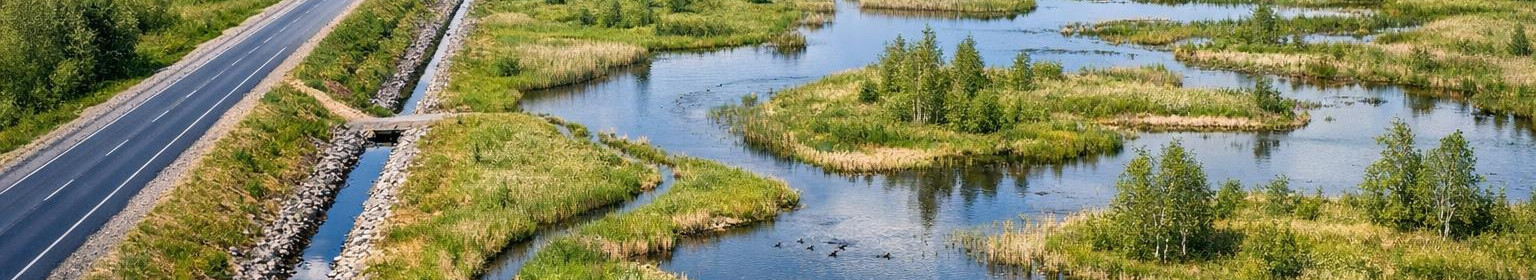
We are an engineer advisor who focuses on the design and monitoring of land improvement, roads, topographical and aerial measurements and wetlands restoration. Our goal is to support public and private customers in the decision-making process and ensure technical clarity and feasibility of projects.
Many landscape and infrastructure projects require simultaneous hydrotechnical, road engineer and geodetic knowledge and careful regulatory matching. Customers need reliable background information, project documentation and supervision to ensure that the work is safe, meets the requirements and realizes as planned.
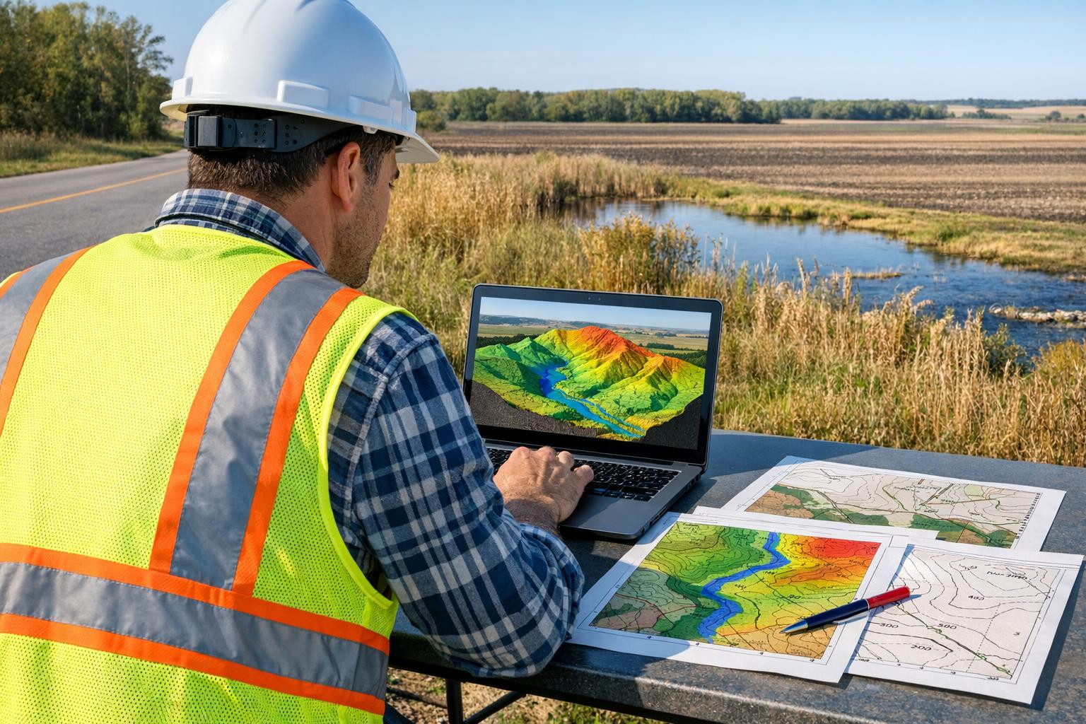
We create project solutions, prepare the required expert reports and provide owner survey during construction, as well as collect and process geospatial data, including surface models. These services enable customers to make informed decisions, plan their work more accurately and manage the risks under control by keeping both public and private projects under control.
Infrastructure in terms of registered licences and related professional skills and the ability to integrate aerial measurement results into the design. Our work is characterized by a pragmatic approach, regulation-based precision and focus on details to support sustainable and technically correct solutions.


Comments (0)