Company Story
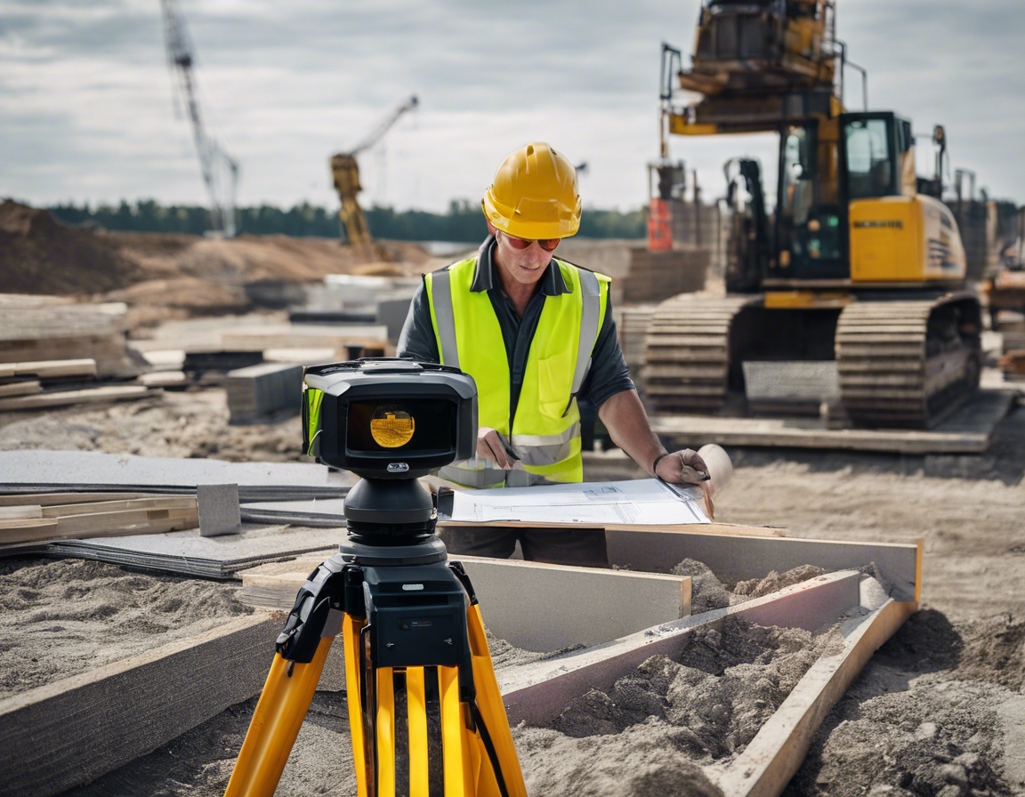
At GEOALUS OÜ, we believe that the foundation of every successful construction project lies in the accuracy of its initial surveying and planning. Since our inception, we have been at the forefront of providing topo-geodetic studies, marking work, and drone surveying services that stand as the bedrock for precision in construction.
Our mission is clear: We conduct comprehensive topo-geodetic studies, marking work, and drone surveying to ensure the highest level of accuracy in our clients' projects.
With this guiding principle, we have helped countless clients map out their future with confidence, knowing that every measurement and calculation is executed with meticulous attention to detail.
Our array of services includes:
- Topo-Geodetic Studies: Essential for project design and planning, ensuring that every contour and elevation is accounted for.
- Post-Construction Control Measurement: Verifying that the final structure aligns perfectly with its intended design.
- Marking Work: Accurate positioning for buildings, pipelines, and roads, laying the groundwork for seamless construction.
- Embodiment Drawings: Detailed representations of infrastructure, serving as a blueprint for development.
- Volume Measurements: Precise calculations of quantities, crucial for budgeting and resource allocation.
- Drone Surveying: Cutting-edge aerial assessments that provide comprehensive data and imagery.
- Consultation: Expert advice to navigate complex surveying challenges and ensure project success.
Our slogan, Mapping the Future of Construction!, encapsulates our commitment to innovation and excellence. We are not just about providing services; we are about crafting a legacy of precision that elevates the standards of the construction industry.
Join us at GEOALUS OÜ, where your project's future is mapped with precision. For consultations and service inquiries, reach out to our team of experts who are ready to bring your vision to life with unparalleled accuracy.


Comments (0)