

The role of topo-geodetic studies in modern construction

Topo-geodetic studies encompass a range of techniques and practices aimed at measuring and mapping the Earth's surface. These studies are crucial for obtaining accurate topographical and geodetic information, which is essential for any construction project. The scope of topo-geodetic studies includes land surveying, remote sensing, and geospatial data analysis, among other disciplines.
The practice of topo-geodetic studies has a rich history, evolving from ancient methods of land measurement to the sophisticated technologies used today. This evolution has been driven by the need for more precise and efficient tools to support the growing complexity of construction projects.
The Importance of Topo-Geodetic Studies in Construction
Before construction begins, a thorough analysis of the site is necessary. Topo-geodetic studies provide vital information on topography, soil stability, and existing structures, which is indispensable for effective planning and design.
During the design phase, engineers rely on topo-geodetic data to create accurate models and simulations. This data helps in optimizing designs, ensuring structural integrity, and planning logistics.
Topo-geodetic studies play a critical role in identifying potential risks such as landslides, floods, or subsidence. By understanding the terrain and environmental factors, construction projects can implement measures to mitigate these risks, ensuring the safety of workers and the longevity of the structures.
Topo-Geodetic Techniques and Technologies
Traditional surveying methods, such as theodolite or leveling, have been the foundation of topo-geodetic studies for centuries. These methods are still in use today, often complemented by modern technology.
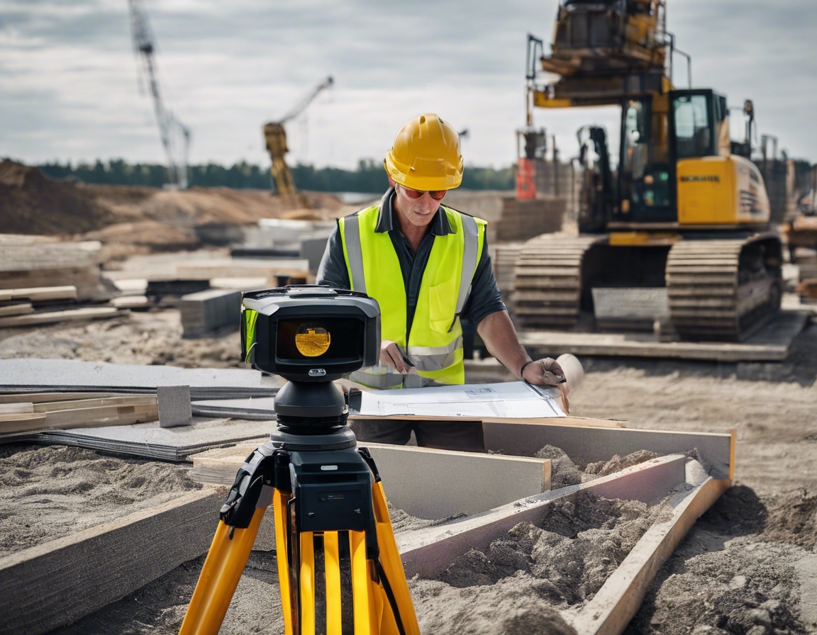
Advancements in technology have revolutionized topo-geodetic studies. Tools like GPS, laser scanning, and drones have increased the speed, accuracy, and scope of data collection.
Geographic Information Systems (GIS) and Building Information Modeling (BIM) have transformed how topo-geodetic data is used in construction. These systems allow for the integration of various data types, creating comprehensive models that can be used throughout the construction process.
Applications of Topo-Geodetic Studies in Construction
Topo-geodetic studies are essential in the planning and construction of infrastructure such as roads, bridges, and tunnels. Accurate geodetic data ensures that these structures are built in the right location and to the correct specifications.
As cities grow, urban planners must consider numerous factors to ensure sustainable development. Topo-geodetic studies provide the necessary data to make informed decisions about land use, zoning, and infrastructure placement.
Environmental conservation is a critical aspect of modern construction. Topo-geodetic studies help in assessing the impact of construction on the environment and in developing strategies to minimize negative effects.
Challenges and Solutions in Topo-Geodetic Studies
Construction projects in challenging terrains require specialized topo-geodetic approaches. Innovations in surveying technology and methods have made it possible to overcome these challenges.
The accuracy of topo-geodetic data is paramount. Professionals in the field are continually developing new techniques and calibrations to improve the precision of their measurements.
The field of topo-geodetic studies is rapidly evolving, with new technologies emerging regularly. Staying abreast of these changes and integrating them into practice is essential for modern construction projects.

Comments (0)