

GEOSPATIAL OÜ
Media page and news feed
?
Business media page visits - 2648; followers - 6. Reviews - 4; Articles 6+ "Write an opinion on GEOSPATIAL OÜ!"
geospatial.ee
Featured Image

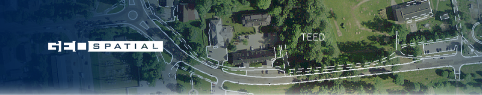
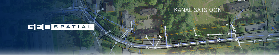
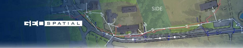
Geosystems of the infrastructure
We offer GIS-based software and service solutions for planning, documenting and checking infrastructure networks. The solutions combine central data management, fieldwork collection and regulatory control in order to accelerate design and reduce risks for municipalities and network service providers.
Geodetics
network register
Requirements for MKM
Field work
data archive
geospatial.ee
Featured Image
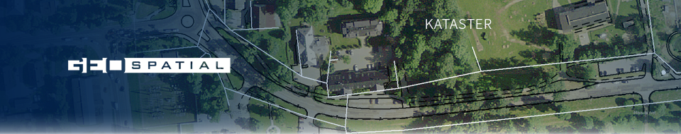
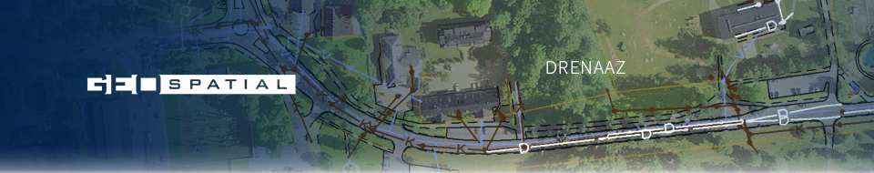
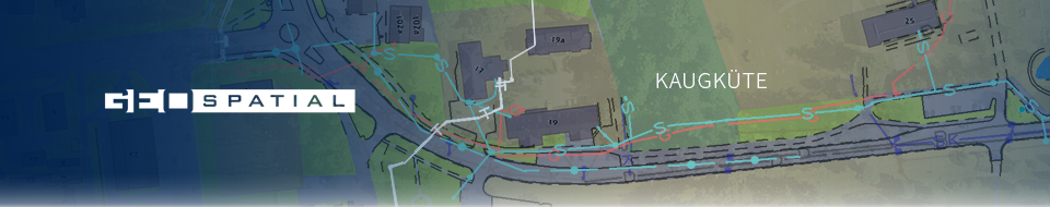
GeoBaas system
Geodetics
data archive
Basic plans
surveying work
geospatial.ee
Featured Image

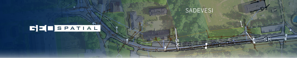
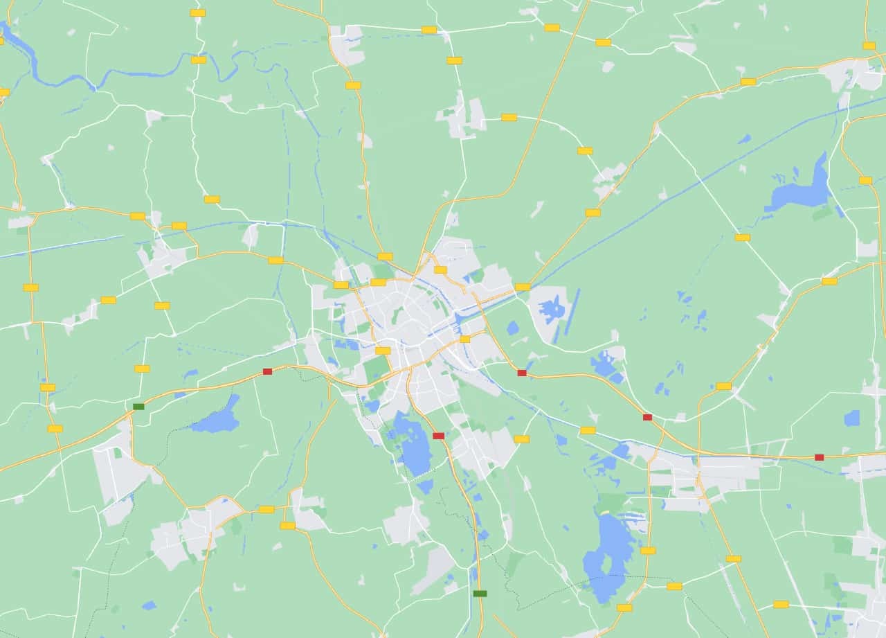
MKM Controller
documentary checks
Compliance check
Requirements for MKM
Construction drawings
geospatial.ee
Featured Image

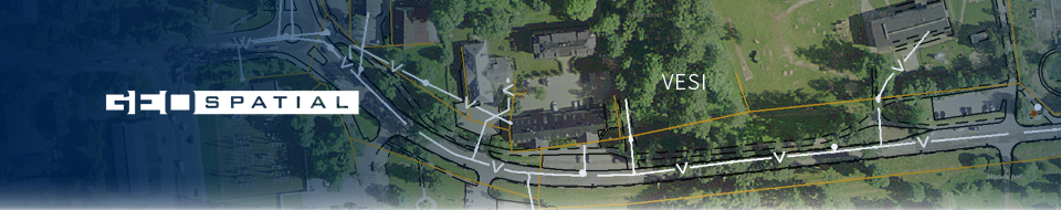
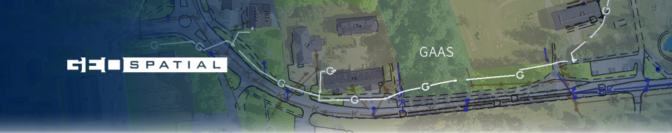
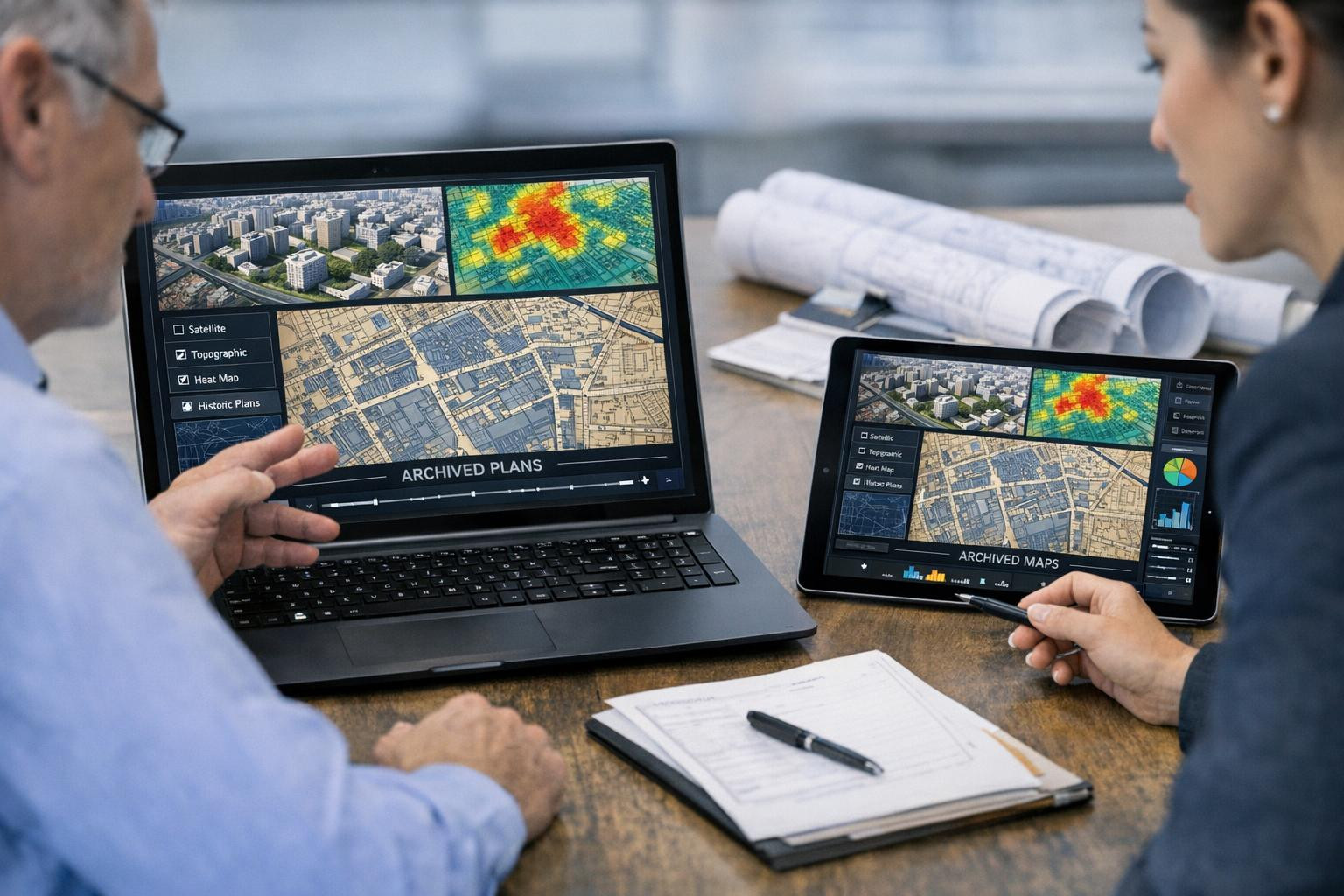
Mergin's mobile
Field work
offline data entry
mobile application
GPS mapping
Our company story
?
Company management, team and contacts

The Company Story

We help maintain and use network and geodetic data in decision-making: our work aims to make complex infrastructure data reliable and accessible to different parties.
Many owners, managers and designers face interrupted workflows, outdated or distributed data and a process that requires time-consuming documents and correspondence. These bottlenecks hinder the smooth running, planning and application for permits.
We combine cloud-based systems, mobile field work support and project-based CAD/GIS services to combine data into one managed environment, facilitate compliance checks, improve archiving, and support planning and exchange of building documentation. Solutions are targeted at local governments, network operators, geodetes and designers.
We are distinguished by a deep professional focus on network data and local regulations, a practical and customer-centred approach and more than 15 years of experience with local partners. Our aim is to help customers achieve more accurate data, faster and more reliable authorisation and control process and more efficient network project planning.
GEOSPATIAL OÜ contacts
-
Andres Kärk Member of the Board, Member of the Management Board
+372 506 0806 info@geospatial.ee andres@geospatial.ee
What do customers think?
?
Company customer opinions
-
Kati P.
Kasutasime GeoBaas süsteemi omavalitsuse mõõdistusandmete haldamiseks; keskne arhiveerimine ja kiire otsing lihtsustasid koostööd projekteerijatega ning andmete leidmist.
-
Jaan T.
MKM Kontrolleri automatiseeritud vastavuskontroll vähendas käsitöövigu meie ehitusjoonistel ja kiirendas lubade menetlust, andes projekteerijatele konkreetsed parandamissoovitused.
-
Maarja L.
Mergin mobiil võimaldas teha offline GPS-mõõdistusi ja sünkroniseerida tulemused Taristu geosüsteemide kesksesse andmehaldurisse, mis parandas välitööde töökiirust ja vähendas riske.


Dropdown

File a complaint
Choose the comment attribute that you think it contains:
You want to report an inappropriate comment.
Are you sure?
Are you sure you want to delete this article?