A GEO OÜ

Media page and news feed
?
Perfect inspection and clear overview of the completed object  As-built survey provides accurate and reliable measurement data of the completed building, making

Precise as-built measurements and reliable delivery documentation at the end of the construction phase

Perfect inspection and clear overview of the completed object

As-built survey provides accurate and reliable measurement data of the completed building, making transfer, monitoring and future administration simple and auditable. Properly located control points and standardised transfer documentation ensure that the object documentation meets the requirements and is directly available for project management and BIM/GIS integration.

What is as-built measurement?

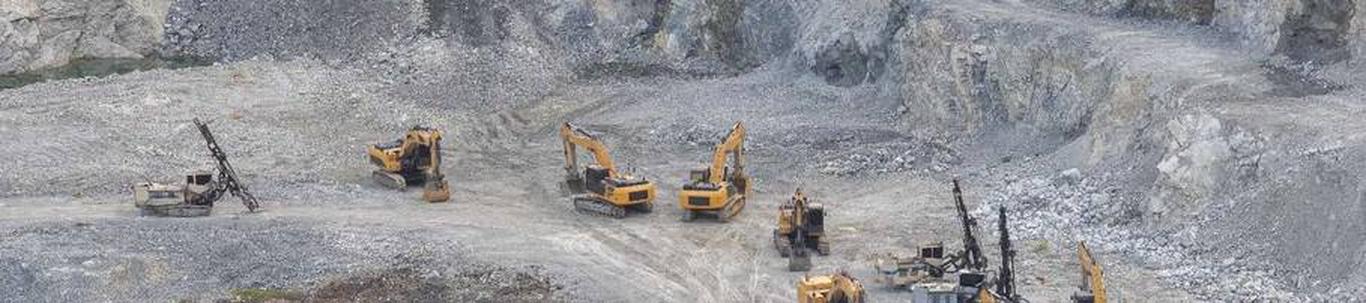
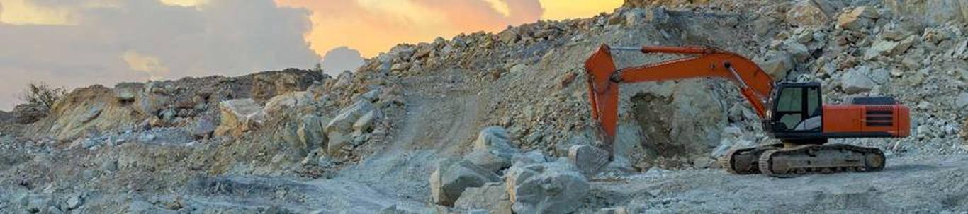
As-built measurement means accurate geodetic or 3D documentation of the completed building, infrastructure or engineering object. The process includes control points , the performance of measurements with modern equipment and software, and the summary of results with clear and audited transfer documentation in the form of.

Who benefits most from this?

    /l >l >l >/l >l >l >/l >l >l >/l >l >l l >/l >l >l >/l >l >l >/l >l >l l >l >/l >l >l l >l >h3>l >l l >l l >l >l >l l >l >l l >l >l < Contact allows you to discuss the exact requirements, deadlines and formats that are suitable for existing project management or management software. The investment in accurate as-built surveying quickly pays off through lower risk levels and better administrative capacity.

    As-built surveying and high quality transfer documentation is a strategic step in the final stage of construction - ensures compliance, simplifies supervision and supports future management of the site.

Comments (0)


Are you sure you want to delete this article?

Dropdown

all articles

Topographic surveying - accurate base plans, landscape model and surface surveying for design certainty

Topographic surveying  provides a clear and reliable overview of the terrain elevation and the existing object conditions supporting design, construction and pl
ssb.ee
Topographic surveying provides a clear and reliable overview of the terrain elevation and the existing object conditions supporting design, construction and planning. Precise base plans , ready to calculate landscape model and structured surface measurement data allow informed decisions, reduce risks and accelerate project implementation. For whom? Services suitable for architects, designers, engineers, real estate developers, municipalities and construction companies – for anyone who needs accurate spatial data base for planning, coordination and documentation. What solutions

Construction geodesy: accurate topographic surveys, as-built and base plans

Establishment geodesy  and surveying work provide designers, builders and subscribers with ready-to-use basic data for each stage of construction. The service c
ssb.ee
Establishment geodesy and surveying work provide designers, builders and subscribers with ready-to-use basic data for each stage of construction. The service combines topographic measurements , as-build measurements , as-build measurements , basic planning and control point management, so that all measurements meet project requirements and are quickly integrated into project information systems. Main functions and advantages , /strong> - detailed ground and existing objects modelling supporting the initial stage of design and risk assessment. l >l >l >l > As-build

Construction geodesy: precise layout and reliable object identification

Establishment geodesy  ensures that project drawings are applied accurately and efficiently to the workplaces. Professional  location  , correct  location   and
ssb.ee
Establishment geodesy ensures that project drawings are applied accurately and efficiently to the workplaces. Professional location , correct location and methodological location reduce errors, speed up construction works and protect the quality and budget of the project as a whole. Who benefits from this? The services are intended for developers, prime contractors, civil engineers and architects who require precision and streamlined work processes. Suitable for both new constructions and renovation works, where each dimension and point counts. Why choose exact geodesy?

Are you sure you want to delete this article?

Loader

Loader

App Ad

Scorestorybook Chrome extension

The Storybook extension tells you which company's website you are currently on and how reliable that company is today. download extension

See the background of the caller! Storybook App brings you direct contacts for 400,000 Estonian companies and individuals (managers, officials). The data is enriched with solvency and financial information.