GEOCENTRUM OÜ

Media page and news feed
?
At GEOCENTRUM OÜ, we are not just about mapping territories; we are about charting the course for future developments. Our mission is clear: 'We provide compreh

Company Story

At GEOCENTRUM OÜ, we are not just about mapping territories; we are about charting the course for future developments. Our mission is clear: 'We provide comprehensive geodetic and cadastral surveying services to ensure accurate land measurement and mapping.' With a steadfast commitment to precision, our team of experts delivers top-tier construction research and construction geodesy services that stand as the foundation for successful projects.

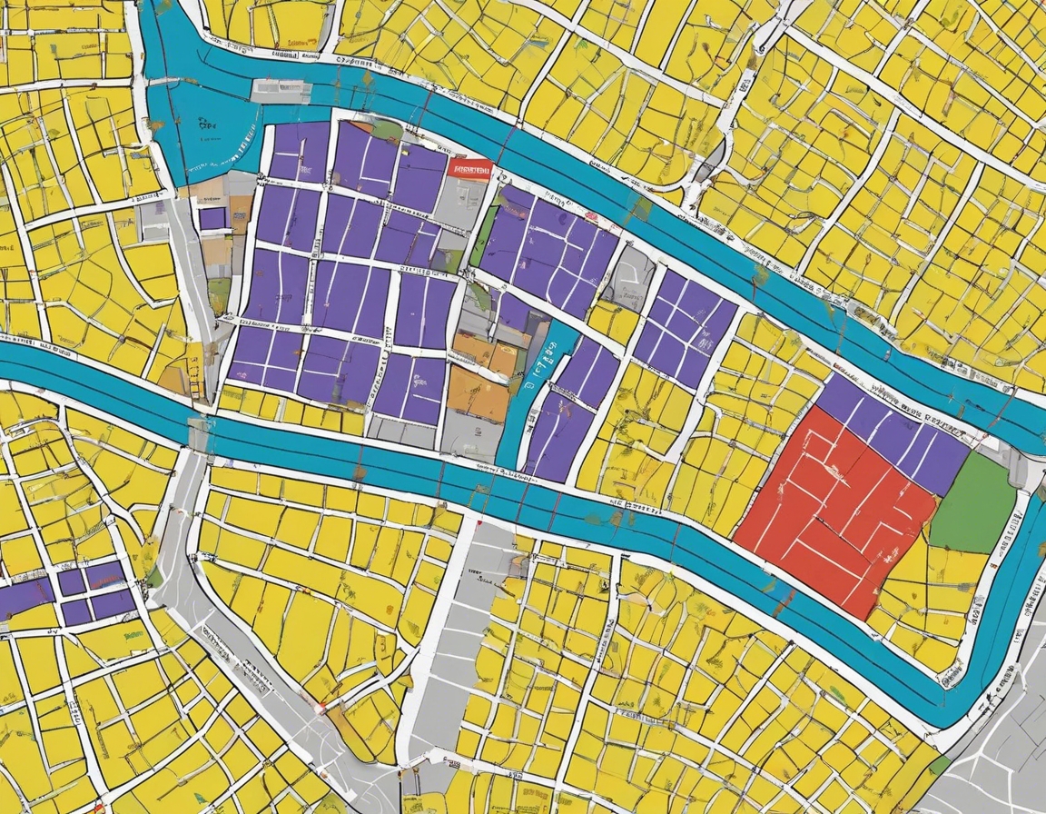
Our services are the cornerstone of any construction project, offering a robust geodetic base plan that ensures every inch of your development is accounted for. From cadastre survey work to intricate cadastral surveying, we handle the complexities so that you can focus on building the future. Our expertise in land consolidation and land surveying works is unparalleled, providing you with the assurance that every plot and parcel is precisely measured and legally sound.

When it comes to land measurement and the measurement of performance, GEOCENTRUM OÜ is the name you can trust. We employ the latest in topo-geodetic research to bring you results that not only meet but exceed industry standards. Our commitment to excellence is echoed in our company slogan: 'Mapping the Future with Precision!' This is not just a promise; it's our practice.

Choose GEOCENTRUM OÜ for your surveying needs and experience the peace of mind that comes with knowing every detail is meticulously accounted for. Let us be the bedrock of your next project. Precision is not just a metric; it's our signature.

Comments (0)


Are you sure you want to delete this article?

Dropdown

all articles

Topographic surveys: the foundation of urban planning

Topographic surveys are a critical component of land development and urban planning. They involve the measurement and mapping of the physical features of a land
ssb.ee
Topographic surveys are a critical component of land development and urban planning. They involve the measurement and mapping of the physical features of a land surface, including its contours, elevations, and natural and manmade features. The primary purpose of these surveys is to create a detailed and accurate representation of the terrain, which serves as a foundational element for design and decision-making in construction and development projects. Urban planning relies heavily on topographic surveys to understand the landscape's characteristics. This information is essential for

Understanding cadastral surveying: a comprehensive guide

Cadastral surveying is a specialized field of surveying that involves the detailed documentation of property boundaries, land ownership, and land value. It serv
ssb.ee
Cadastral surveying is a specialized field of surveying that involves the detailed documentation of property boundaries, land ownership, and land value. It serves as a critical foundation for land registration systems, informing legal decisions, and ensuring fair taxation. The practice of cadastral surveying dates back centuries, evolving from simple land measurements to complex analyses of land parcels. Its development has been influenced by technological advancements and the growing needs of societies for accurate land records. The Importance of Cadastral Surveys Cadastral surveys are

The role of geodesy in modern construction

Geodesy is the science of accurately measuring and understanding the Earth's geometric shape, orientation in space, and gravity field. It is a critical discipli
ssb.ee
Geodesy is the science of accurately measuring and understanding the Earth's geometric shape, orientation in space, and gravity field. It is a critical discipline in the field of construction, providing the foundational data necessary for planning, designing, and building structures. Geodesy plays a pivotal role in modern construction. It ensures that structures are built on solid ground, align correctly with the Earth's surface, and fit within their designated boundaries. Accurate geodetic measurements are essential for the stability and longevity of any construction project. Applications

Are you sure you want to delete this article?

Loader

Loader

App Ad

Scorestorybook Chrome extension

The Storybook extension tells you which company's website you are currently on and how reliable that company is today. download extension

See the background of the caller! Storybook App brings you direct contacts for 400,000 Estonian companies and individuals (managers, officials). The data is enriched with solvency and financial information.