

GeoBaas System - Secure Geodetic and Measurement Data Management for Municipalities

The environment that combines geodetic and municipal workflows
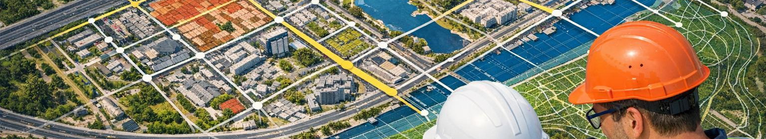
GeoBaas system is the central platform for managing geodetic works and metering data throughout the territory of the municipality. The solution creates a common data archive, where the basic plans, survey works and project versions are securely archived, quickly accessible and accessible to all authorised parties.
For which it is suitable
The solution is intended for municipalities, geodetes, land managers, designers and construction engineers who need a reliable environment for the storage and sharing of base plans, map and survey data. Central data management reduces duplication of work, speeds up decisions and improves project quality.
Principal functions that make work smooth
- Safety data archive - time stamp, access rights management and encrypted storage ensure data retention and traceability.
- Quick search and metadata - search by base plans, coordinates, metering records and project areas allows the necessary information to be found in seconds.
- Version management - any measurement work and change is recorded as a version that facilitates the recovery and compliance control of previous data. <Cooperation tools - sharing, comments and role-based access Local governments can respond more quickly to planning and construction requests, the geodetic processes simplify and design will be based on more accurate and up-to-date data.
- Specialised geodetic focus - functions and data structures have been built specifically geodetics and measurement needs.
- The first step is to migrate and prioritise existing base plans and measurements, set up access rights and assign access rights to workflows with geodetes and designers.
- Simple introduction and user support - rapid integration with local government systems and training teams ensure a smooth transition. >>>
Instructive advantages
Summary: GeoBaas combines security, rapid search and cooperation functions that optimise geodetic and measurement management and bring clear time and cost-effectiveness benefits to the municipality.


Comments (0)