GEOSPATIAL OÜ

Media page and news feed
?
Quick, reliable and standard-based compliance check for building documents MKM Controller automates document check and performs conformity check for building dr

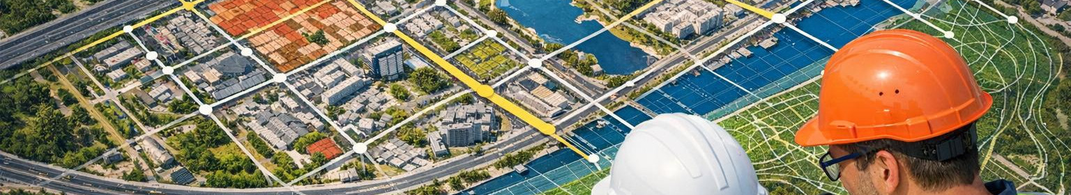
MKM Controller - Automatic verification of conformity of construction drawings and basic plans according to MKM requirements

Quick, reliable and standard-based compliance check for building documents

MKM Controller automates document check and performs conformity check for building drawings and base plans according to MKM requirements (22.04.2016). The digitisation of workflows reduces manual errors, mitigates monitoring risks and speeds up authorisation procedures by providing designers with clear and operationally oriented repair instructions.

For whom it is appropriate

The solution is for architects, designers, construction companies, municipal construction departments and supervision specialists who need reliable and repeated document control and effective compliance control process.

Principal functions

rl >r Automatic analysis - scanning and checking construction drawings and basic plans according to MKM requirements.l > r r rng >rng >/ppp Clear repair instructions reduce communication errors between designers and supervision and help to quickly achieve compliance, which in turn shortens the time and costs of construction permits.

Main advantages

  1. Less handicrafts and fewer errors - automated documents control decreases the workload of manual control.
  2. Lifetime decision-making - technical review and proposals are sent faster, supporting the procedure of permits and construction services.
  3. Lifeness and traceability - all improvements and verification results are recorded in an audited form.
  4. Compliance with MKM requirements - the tool checks the drawings in accordance with the established standard, reducing the risk of rejection.

Mayay to highlight

An innovative, rule-based engine detects both formal and substantive failures, differentiating from normal manual reviews due to consistency and speed.

An additional information and test version is available to those who want to reduce the cost of checking building documents and improve the transparency of processes. Take the next step and make the control process safer, faster and less risky.

Comments (0)


Are you sure you want to delete this article?

Dropdown

all articles

Infrastructure geosystems - GIS-based planning, compliance control and data management for municipalities

Effective GIS-based infrastructure management and compliance control    Enhanced GIS-based infrastructure geosystem integrates geodetic accuracy, network regist
ssb.ee
Effective GIS-based infrastructure management and compliance control Enhanced GIS-based infrastructure geosystem integrates geodetic accuracy, network register data and central data archives in order to accelerate design, reduce risks and ensure compliance with MKM requirements. The solution is suitable for municipalities, network service providers, designers and geodetic specialists who need reliable data management, simple fieldwork collection and automated regulatory control. Why is this necessary? The planning of complex infrastructure networks requires accurate geodetic data, an

Mergin Mobile - offline field mobile app for Android and iOS

Mergin Mobile  is a local mobile application for field work that allows quick and accurate  offline data input   and full-functional  GPS measurement   in both
ssb.ee
Mergin Mobile is a local mobile application for field work that allows quick and accurate offline data input and full-functional GPS measurement in both Android and iOS‐equipment. Data are recorded on site and synchronised automatically when reaching the network, which makes the workflow smooth even without continuous internet connection. For whom Mobile application is suitable for teams working outside the office: network management and service teams, geodetes, GIS‐specialists, construction teams and anyone who needs reliable field tools. For those who require accurate GPS

GeoBaas System - Secure Geodetic and Measurement Data Management for Municipalities

The environment that combines geodetic and municipal workflows   GeoBaas system  is the central platform for managing geodetic works and metering data throughou
ssb.ee
The environment that combines geodetic and municipal workflows GeoBaas system is the central platform for managing geodetic works and metering data throughout the territory of the municipality. The solution creates a common data archive , where the basic plans, survey works and project versions are securely archived, quickly accessible and accessible to all authorised parties. For which it is suitable The solution is intended for municipalities, geodetes, land managers, designers and construction engineers who need a reliable environment for the storage and sharing of base plans , map

Are you sure you want to delete this article?

Loader

Loader

App Ad

Scorestorybook Chrome extension

The Storybook extension tells you which company's website you are currently on and how reliable that company is today. download extension

See the background of the caller! Storybook App brings you direct contacts for 400,000 Estonian companies and individuals (managers, officials). The data is enriched with solvency and financial information.