

Advanced geo-information solutions: space analysis, quality control and QGIS training

Full solution for reliable use of spatial data. Processing of adapted data, consistent quality control and practical QGIS training make complex spatial data usable for decision-making processes.
What is it and what is suitable for
Services suitable for local government planning departments, land management and infrastructure projects, consultancy companies and private companies that need accurate spatial analysis, data quality control and support in the introduction of systems. Adapted geo-services for both small teams and large-scale organisations are offered.
Why is this valuable
Right information in good time. High-quality spatial analysis and strict quality control reduce errors, speed up decision-making and ensure compliance with regulations. Practical QGIS training improves team competence and reduces dependency on external services, making solutions permanently usable.
Practical QGIS training improves team competence and reduces dependency on external services.Practical functions
>>>>>practical QGIS training increases team competence and reduces dependency on external services, making solutions permanently usable.lifi Practical functions
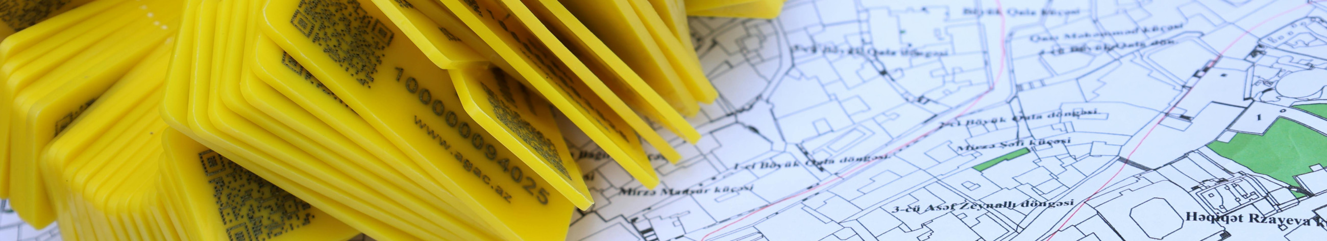
practical information processing:practical information modelling, buffering, network analyses and spatial enquiries for the creation of map support..QGIS training:p QGIS training creates an internal competence and independence for the organisation, while the adapted geo-service ensures that the system works in real business needs.
If the aim is to make spatial data usable and support better decisions, the next step is simple: plan a free consultation, test a pilot project and increase team skills with practical QGIS training. Contact us to start a journey leading to a definite and measurable result.


Comments (0)