REGIO OÜ

Media page and news feed
?
Baltic database provides a rich and geographical data set of attributes covering Estonia, Latvia and Lithuania, allowing reliable and comparable spatial data an

Baltic database: a common basis for spatial data planning and regional analysis

Baltic database provides a rich and geographical data set of attributes covering Estonia, Latvia and Lithuania, allowing reliable and comparable spatial data analysis across national borders. Thanks to the common data template and standardised metadata, planning, infrastructure development and regional research will become fast, accurate and reusable.

What is involved and how it works

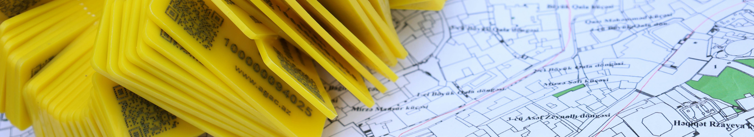
Data include detailed spatial data at object, characteristic and topological level: property and land use data, road network, infrastructure locations, environmental data and status meters. All data shall comply with a common layout and standards that ensure the comparability of data across Baltic . Interface through API and standard export formats (GeoJSON, Shapefile, WMS/WFS) facilitates integration into existing GIS and decision support systems.

Who benefits from this?

  • Local governments and planning departments that need accurate spatial data for decision-making processes.
  • Li>Li>Li>Li>Li>Regional developers and transport planners who need comparable data to evaluate projects in neighbouring countries.
  • Li>Li>Li>Li>Li>Li>Li>Li>Li>Li>Li>Li>Li>Li

    Regalisation

    /h3>Li>Li>Li <l Comparability across national borders facilitates regional planning, international project planning and policy-making. Regular updates keep the database up-to-date and reliable also in changing conditions.

    Differences that bring value

    • International standardisation that reduces data processing inconsistencies and interruptions.
    • Focus attributes enrichment - data dimensions and context-enhancing metadata stratification.
    • Flexible licensing model and support services that fit the needs of both public and private companies.

Summary: reliable, comparable and regularly updated spatial data base creates a solid foundation for planning, risk assessment and regional analysis throughout the Baltics. Simple integration, detailed attribute support and continuous quality control help make faster and better informed decisions.

Interested parties can start with demo, order a sample request or contact support to adapt the service to specific needs and integrations. Upgrade planning and analysis with a common, regional spatial data base already today.

Comments (0)


Are you sure you want to delete this article?

Dropdown

all articles

API services - secure real-time interface and automatic data flow from Regio Baltics

Easy, fast and secure access to commercially relevant data   < API services  allow fluent  interfaces  and reliable  data flow  directly to applications, giv
ssb.ee
Easy, fast and secure access to commercially relevant data < API services allow fluent interfaces and reliable data flow directly to applications, giving developers and business teams real-time judgement. The possibility of obtaining real-time access real-estate, card and geo-information data makes workflows faster, more accurate and more automated. Who wins this? Services suitable for software developers, real-time real-time real-estate agencies, portals, analysts and businesses that need: l>l>live and safe API interfaces with their platform live and up-to-date

Regiono geinfo - Common Baltic Spatial Database, simple API and quick spatial analysis

Clear overview and rapid access to the common data set     Regio geinfo  connects the most important spatial data of the Baltic States to one easily used servic
ssb.ee
Clear overview and rapid access to the common data set Regio geinfo connects the most important spatial data of the Baltic States to one easily used service. Comfortable API interface and customized geo-information services facilitate data integration, automated card production and in-depth spatial analysis both in the public sector and in business. For whom Regio geo-information has been created for cities, municipalities, planners, infrastructure companies, real estate developers and data intensive companies that need reliable and up-to-date spatial data. It is also suitable for

Advanced geo-information solutions: space analysis, quality control and QGIS training

Full solution for reliable use of spatial data.  Processing of adapted data, consistent quality control and practical QGIS training make complex spatial data us
ssb.ee
Full solution for reliable use of spatial data. Processing of adapted data, consistent quality control and practical QGIS training make complex spatial data usable for decision-making processes. What is it and what is suitable for Services suitable for local government planning departments, land management and infrastructure projects, consultancy companies and private companies that need accurate spatial analysis, data quality control and support in the introduction of systems. Adapted geo-services for both small teams and large-scale organisations are offered. Why is this valuable

Are you sure you want to delete this article?

Loader

Loader

App Ad

Scorestorybook Chrome extension

The Storybook extension tells you which company's website you are currently on and how reliable that company is today. download extension

See the background of the caller! Storybook App brings you direct contacts for 400,000 Estonian companies and individuals (managers, officials). The data is enriched with solvency and financial information.