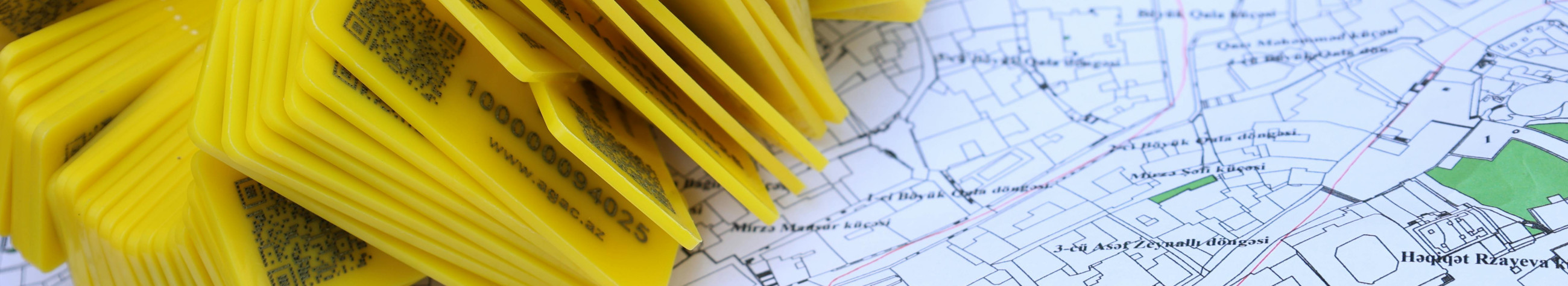


Regiono geinfo - Common Baltic Spatial Database, simple API and quick spatial analysis

Clear overview and rapid access to the common data set
Regio geinfo connects the most important spatial data of the Baltic States to one easily used service. Comfortable API interface and customized geo-information services facilitate data integration, automated card production and in-depth spatial analysis both in the public sector and in business.
For whom
Regio geo-information has been created for cities, municipalities, planners, infrastructure companies, real estate developers and data intensive companies that need reliable and up-to-date spatial data. It is also suitable for software developers and researchers who integrate geo-information solutions via API.
Why choose a common data set
The common data set reduces data malfunctions and time and resource costs. Spatial data has been regularly updated and formatted in a standardised way that ensures fast and stable use through API. This allows for more accurate space analysis, automation of card production and reliable analysis for business and public sector decision-making.
Principal functions and values
- Common dataset: combined Baltic spatial data that reduce the need for data purification and transformation.
- API interface: easy-to-use REST API that support rapid integration and scalable data flow.
- < < < Consultation, data processing and ready-card solutions according to the needs of the organisation. l >l >l >l >rü >rl >rü Prü By combining different layers and data sources, impact and risk analyses can be created, which can be used in urban development, transport planning or business assessment.
Differences and competitive advantage
Unlike diffuse data sources, a single solution offers faster access and reduces integration costs. Automation with API speeds up the development and analysis processes, while the completed maps and consultations create a shorter route to commercial results. All of this is based on standardised and regularly updated spatial data.
How to start
Can be started in a number of ways: a sample query via API, a topic card order or a consultation with a data audit and an integration plan. By moving forward, technical integration will be established, data updates will be set up and customised card packages will be designed according to needs.
Result and impact
Rapid data access and more accurate space analysis will support better decisions, reduce operational costs and open new business opportunities. The common data set will ensure that all parties work with the same, up-to-date information - results in more efficient planning and reliable results.
Regio geoinfo creates a clear path from data to valuable decisions: easier integration, better maps and reliable data sets through API.


Comments (0)