Accuracy and velocity: 3D laser scanning for post-construction as-built measurements

What is 3D laser scanning and why it counts
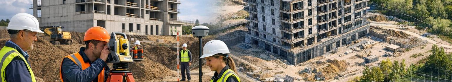
<3D laser scanning creates a high-resolution, three-dimensional point-world of buildings and structures, making complex details accurately measurable and digitally processable. The service is suitable for both new buildings and renovated objects, bringing clarity to project management, quality control and documentation.
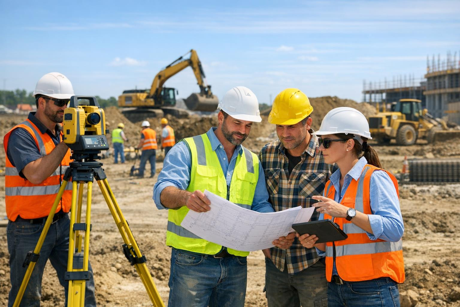
Who will benefit most from this service
Architects, designers, engineers, prime contractors, developers of real estate, managers of renovation works and specialists of owner supervision. The exact digitisation of cultural objects and complex industrial facilities is also of great value.
What is more specifically offered
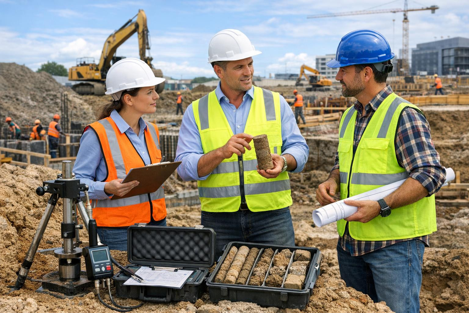
Local scanning, installation and measurement of checkpoints , processing of point clouds and delivery of ready-to-use as-built materials. As a result, digital model, CAD/BIM outputs and precise dimensional materials will be completed for post-construction documentation.
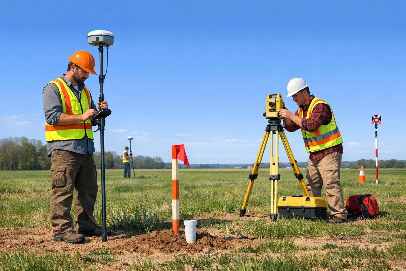
Basic functions and service advantages
- <Millimeter accuracy - reliable measurement accuracy allows accurate matching of drawings and models to reality.
- Quick data collection - a large part of the object will be recorded in an hour that shortens working hours and reduces construction stoppages.
- rli>strong>The precise installation and measurement of control points - geodetic base ensures consistency with other measurements and drawings and drawings and simplifies installation works. l >l >l Combined solutions - laser scanning of land and indoor spaces and a precise network of control points - allow reliable data interconnection and rapid integration into design. Quick response and structured data transmission will be carried out according to the project schedule.
- First consultation and object analysis: objectives, scope and required outputs.
- Installation and geodetic measurement of checkpoints, which will create a coordinated basis.
- 3D laser scanning - point cloud collection in internal and external conditions.
- Data processing and quality control: filters, registration and co-ordination.
- Valmis as-built documentation and data transfer according to the agreement (BIM, CAD, LAS, E57 etc.).
How does the process look
Moks this investment pays off
/h3> Precise as-built measurements reduce the risk of reconstructions, simplify construction supervision and provide a reliable start-up project for future games (e.g. renovation, alterations, maintenance plans).
Substantial to the decision maker
Precise 3D data will help to save design and construction, ensure compliance with regulations and create a complete digital model that can be used throughout the life cycle of the building. Using modern measurement and processing solutions, each project can be quickly and securely documented.
Preparation for quick solutions and precise geodetic mapping ensure that each measurement meets the requirements and is immediately available to designers and administrators.
Contact us to get an accurate price offer and schedule - a quick overview and pilot work will show how the value of the digital model will move the project forward.
Comments (0)