Land surveying service: precise land borders, reliable maps and risk-free planning

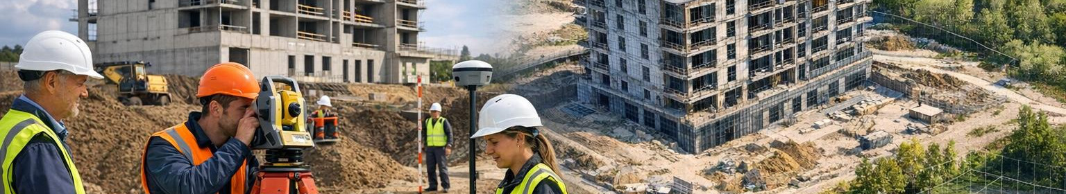
Precise land measurement is the basis for the success of projects - from real estate transactions to construction and landscape design. The geodetic services offered provide clear land boundaries, high-quality topocards and a reliable spatial basis for each decision, reducing legal and structural risks.
What is land measurement and for whom it suits?
Land measurement includes accurate measurement of land and properties, topographical data collection and the fixing of borders as official catastrophes. The service is suitable for:
- for private and business customers who need to set property boundaries;
- for architects and designers who require precise topographical measurements;
- for builders and developers who need solid basic information for planning the construction project;
- for local governments and engineering offices for integration of GIS and maps.
Why choose geodetic services from our team?
Sertified geodet team ensures that all work is carried out in accordance with applicable standards and legal requirements. Fast response and flexible working arrangements support each stage of the project - from preliminary study to final landline documentation.
Main advantages
- Precision and confidence: professional measuring equipment and controlled working processes provide reliable results.
- Risk reduction: clear land borders and proper documentation reduce disputes and delays.
- Speed and efficiency: optimised workflows and digital solutions shorten measurement time.
- Mitmelevance: topographic measurement, determination of land borders and GIS-links at one location.
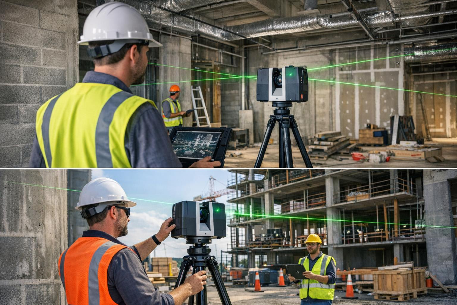
- Topographic surveying and digital mapping allow visualisation of terrain elevation, location of facilities and precise location of the infrastructure.
How does the process look?
- Preliminary consultation: needs mapping and appropriate mapping planning.
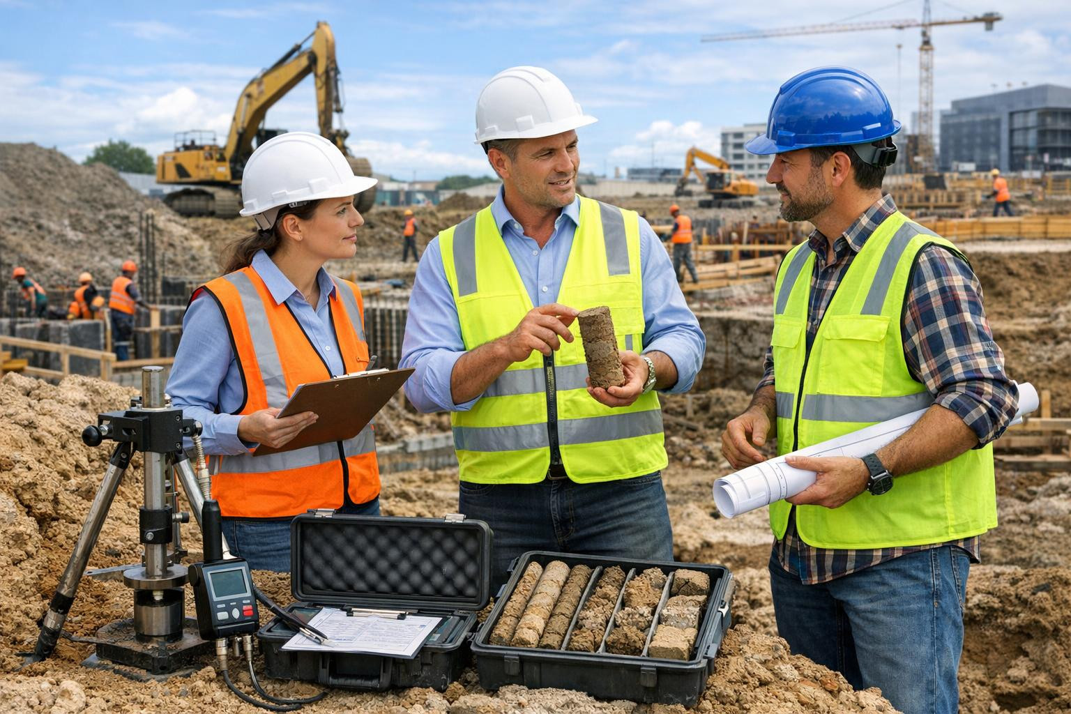
- Exterior work: accurate measurements with GNSS/total station and drone.
- Data processing: quality control, geodetic coordination system conversion and mapping.
- Documentation: official measurements, cadastricards and digital files for further use.
Reliable geodetic services combine technical accuracy and commercial reasonableness - the result is lower risk profile, smoother project implementation and legally correct limits. Take a step towards final clarity and certainty and give the project the spatial accuracy it deserves.

Comments (0)