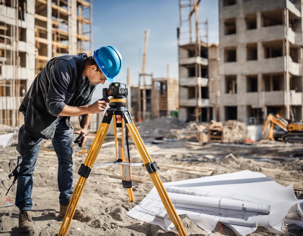
How geodetic surveys can save your construction project time and money
Geodetic surveys are a critical component in the planning and execution of construction projects. They involve the measurement and analysis of the Earth's geometric shape, orientation in space, and gravity field, providing a precise framework for property boundaries, engineering design, and mapping services.
Unlike traditional surveying, which focuses on small areas and assumes a flat Earth surface, geodetic surveying accounts for the curvature of the Earth and requires a broader spatial understanding. This distinction is crucial for large-scale and high-precision projects.
The Role of Geodetic Surveys in Construction
Geodetic surveys inform the initial stages of construction, ensuring that site plans are accurate and optimized for the terrain. This foundational data is essential for architects and engineers to design structures that fit within the specified land parcel and environmental constraints.
Adhering to legal and zoning regulations is simplified with geodetic surveys, which provide verified land boundaries and topographic data. This helps prevent disputes and ensures compliance with local and national standards.
For infrastructure projects, geodetic surveys are indispensable in the layout of transportation systems, utilities, and other public works. They also play a role in the ongoing monitoring and maintenance of these structures.
Cost and Time Efficiency of Geodetic Surveys
Accurate geodetic data reduces the likelihood of costly rework and project delays by identifying potential issues before construction begins. This proactive approach saves time and resources in the long run.
The high level of precision and accuracy achieved with geodetic surveys minimizes errors during construction, leading to a smoother building process and fewer adjustments post-construction.
By ensuring that projects are built correctly from the outset, geodetic surveys contribute to long-term savings. Sustainable construction practices are supported by the detailed environmental data provided by these surveys.
Technological Advancements in Geodetic Surveying
Global Positioning System (GPS) and Global Navigation Satellite System (GNSS) technologies have revolutionized geodetic surveying, offering real-time data with exceptional accuracy.
Remote sensing techniques, including Light Detection and Ranging (LiDAR), allow for the rapid collection of topographic information over large areas, enhancing the efficiency of the surveying process.
Geodetic survey data can be integrated with Building Information Modeling (BIM) and Geographic Information Systems (GIS) for a comprehensive view of a project, facilitating better decision-making and project management.
Choosing the Right Geodetic Survey Partner
Selecting a geodetic survey partner with the right expertise and experience is crucial for the success of your project. A knowledgeable team can navigate the complexities of geodetic surveying and deliver accurate results.
Advanced technology and equipment are essential for modern geodetic surveying. The right partner will have access to the latest tools to ensure high-quality data collection and analysis.
A GEO OÜ understands the unique needs of construction companies, architects, urban planners, and government agencies. We tailor our services to meet the specific requirements of each project, ensuring optimal outcomes.


Kommentaarid (0)