
The Company Story

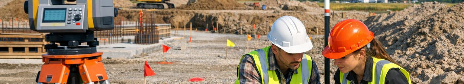
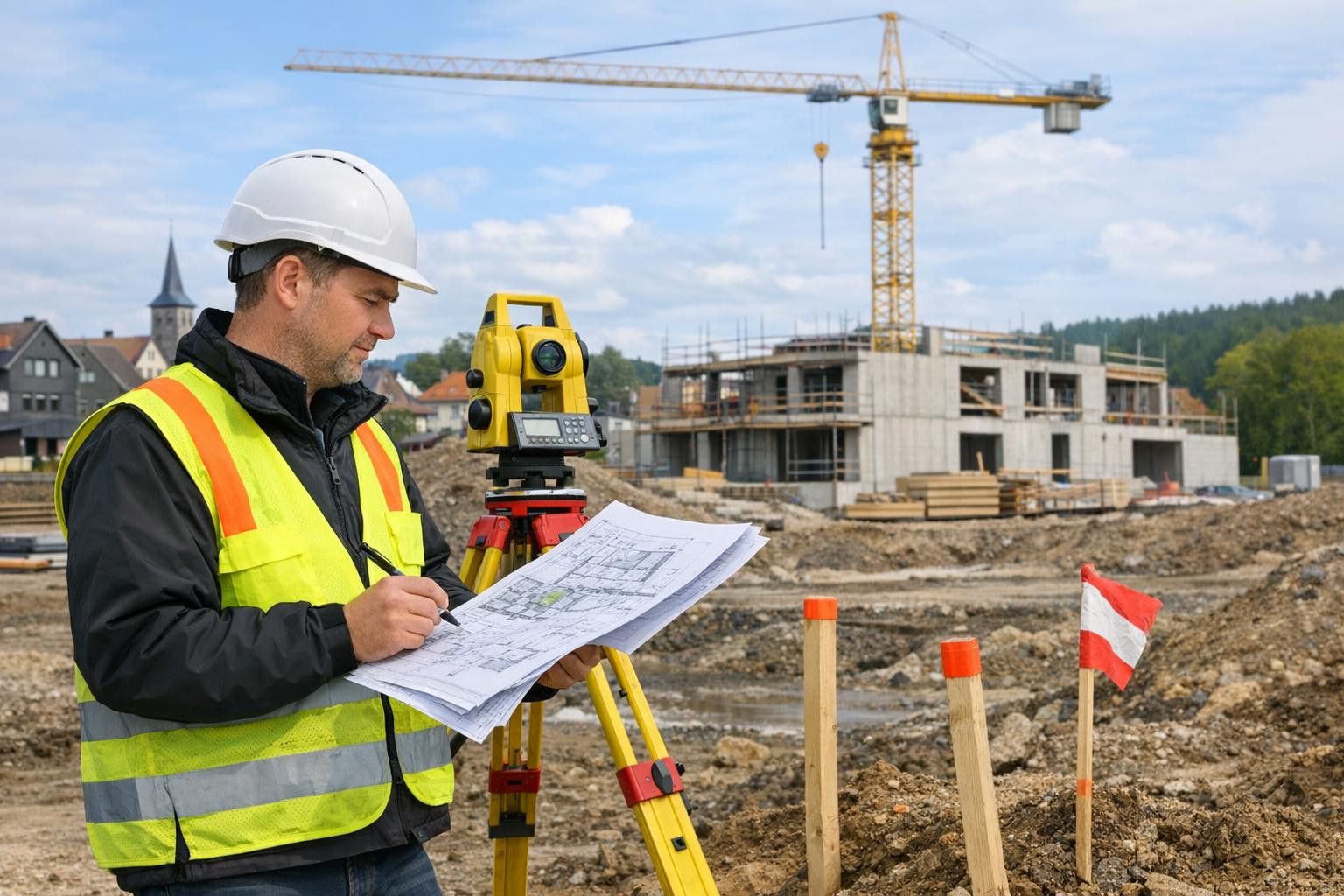
Our aim is to ensure reliable spatial information for construction and rural development projects, which allows decisions to be made in a precise and timely manner. We work mainly in Tallinn and Harju County, offering local survey services on which project managers, architects and owners can rely.
Many projects face measurement-based inconsistencies: inaccurate data can lead to repetitions, delays and difficulties with registration or lime processes. Reducing such risks requires clear, verified and compliant measurement documentation.
Our approach is practical and work-oriented: we create a basis for spatial data supporting projects, validate the necessary measurement networks in the field and document readiness and compliance for both designers and contracting authorities. Services will be delivered on a project-by-project basis and according to the client's schedules.
We are a company with local background and long-term experience (registered in Estonia in 2000), which ensures direct contact and rapid response to projects in Tallinn and Harju County. We are characterised by precision, practicality and reliability - the aim is to reduce the delays caused by measurements and provide project participants with a reliable basis for decision making.


Comments (0)