The Company Story

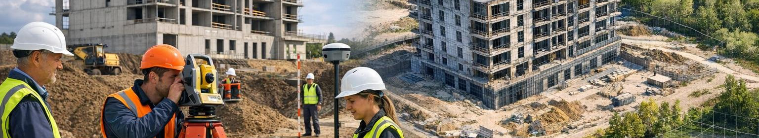
Our company aims to provide a solid spatial basis for construction and planning processes - reliable data and clear documentation to help make informed decisions and avoid risks.
Building work often starts with uncertain boundaries, changing soil and lack of documentation; these uncertainties can lead to delays, additional costs and confusion between different parties.
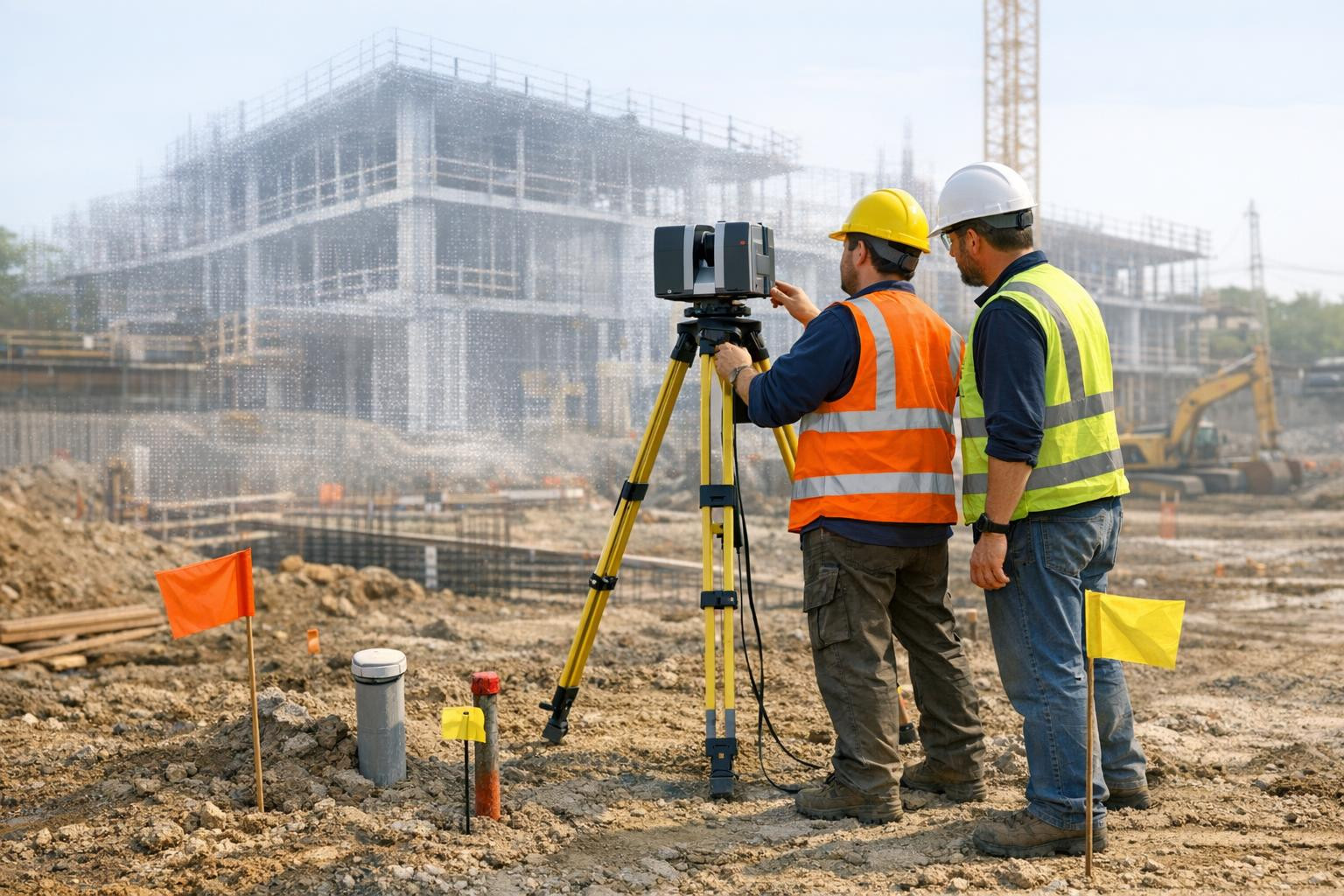
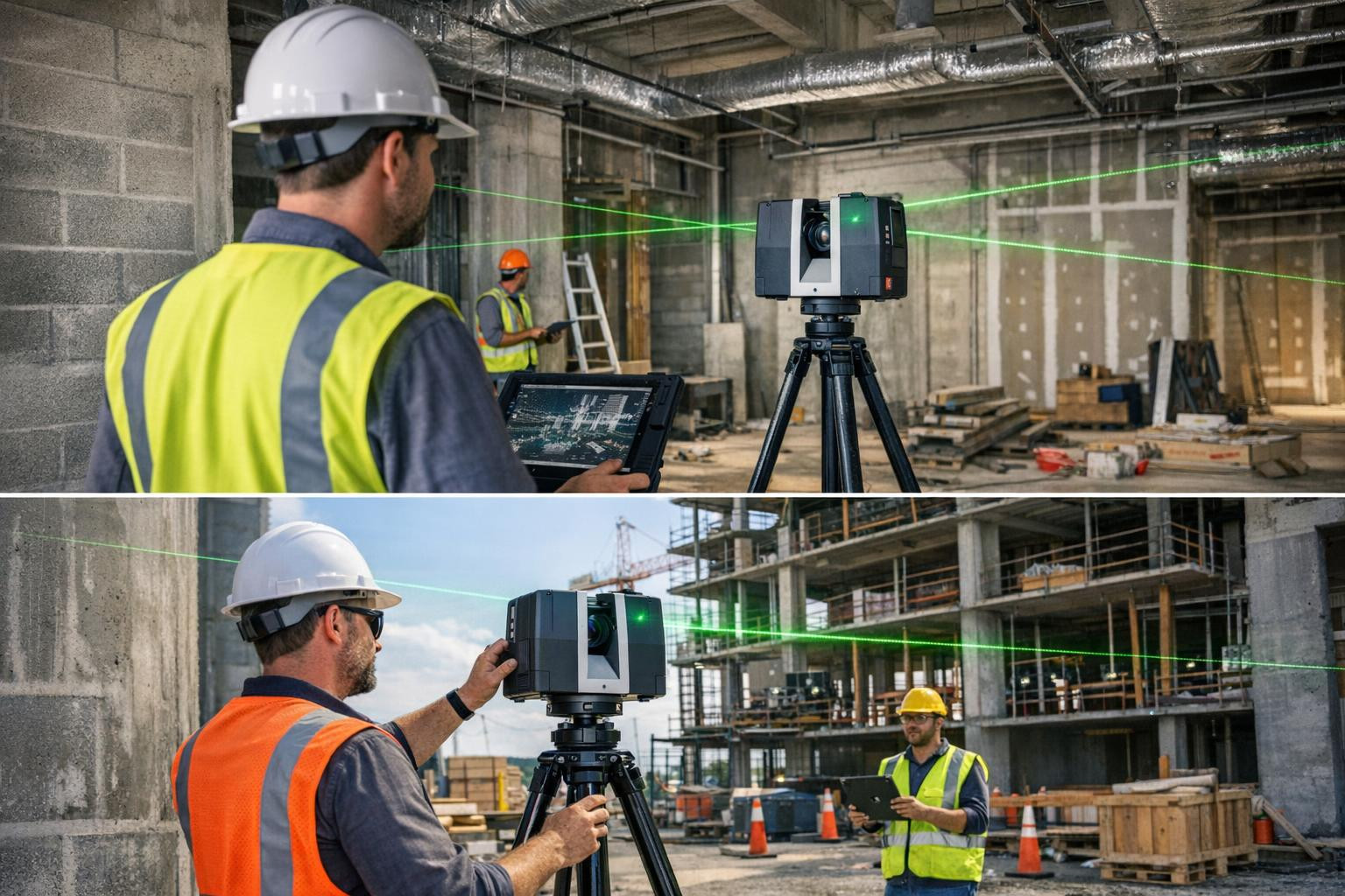
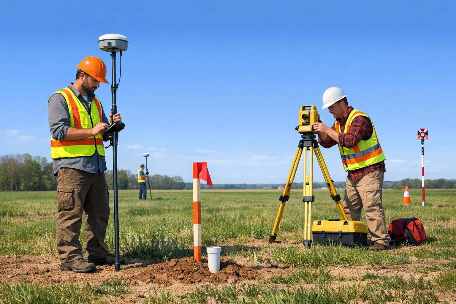
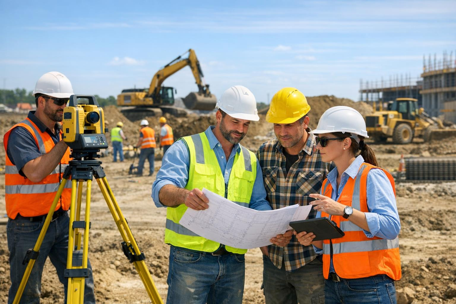
We offer integrated solutions that make spatial information understandable and feasible in each phase of the project - from accurate measurements and digital mapping to knowledge of the soil and coordinated project support solutions, so that the data are immediately the basis for decisions.
Our work differs from practical cooperation and recognised competence: the team of certified geodetes leads to clarity of the project, reduces ambiguity and helps to keep work smooth and cost-efficient.
>We work on building and designs better prepared on the basis of more efficient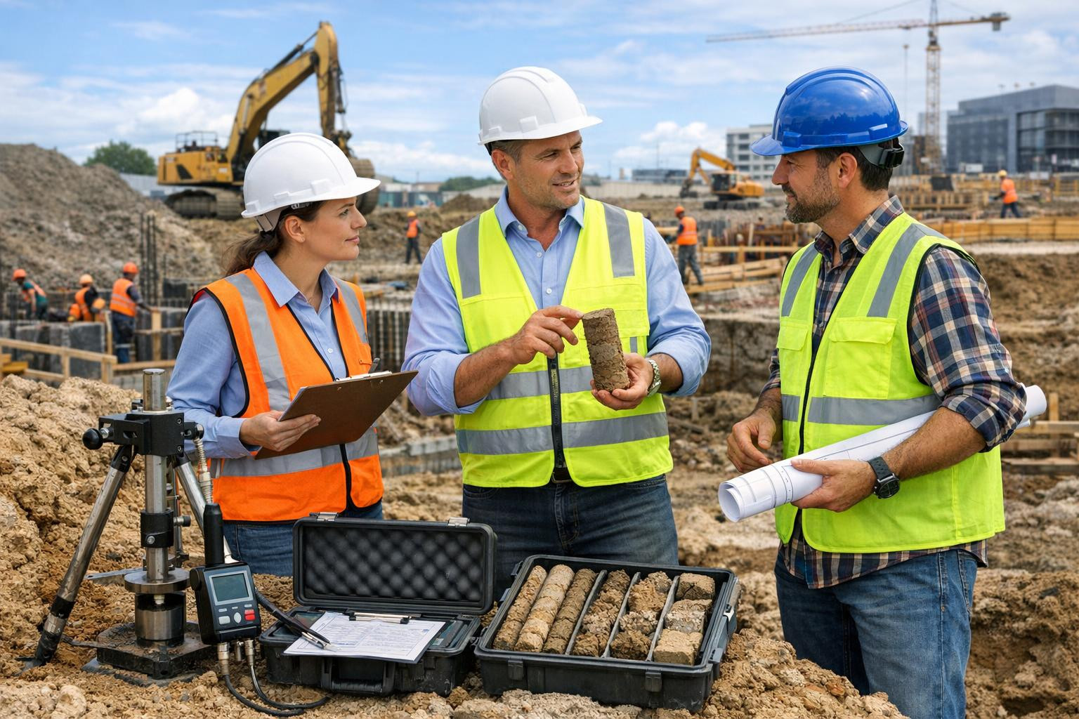
Comments (0)