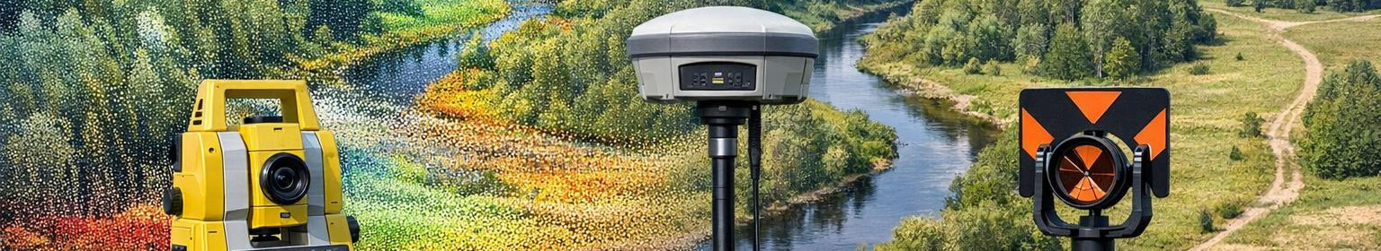

Advanced geodesy services - GNSS measurements, point clouds and topographical plans

Complete geodesy and survey service provides accurate coordinates, clear topographical plans and high resolution 3D relief models that accelerate projects and reduce construction risks. In the focus of services, quick realisation, strict quality control and compatibility of data with conventional design and construction software are used in the field of services.
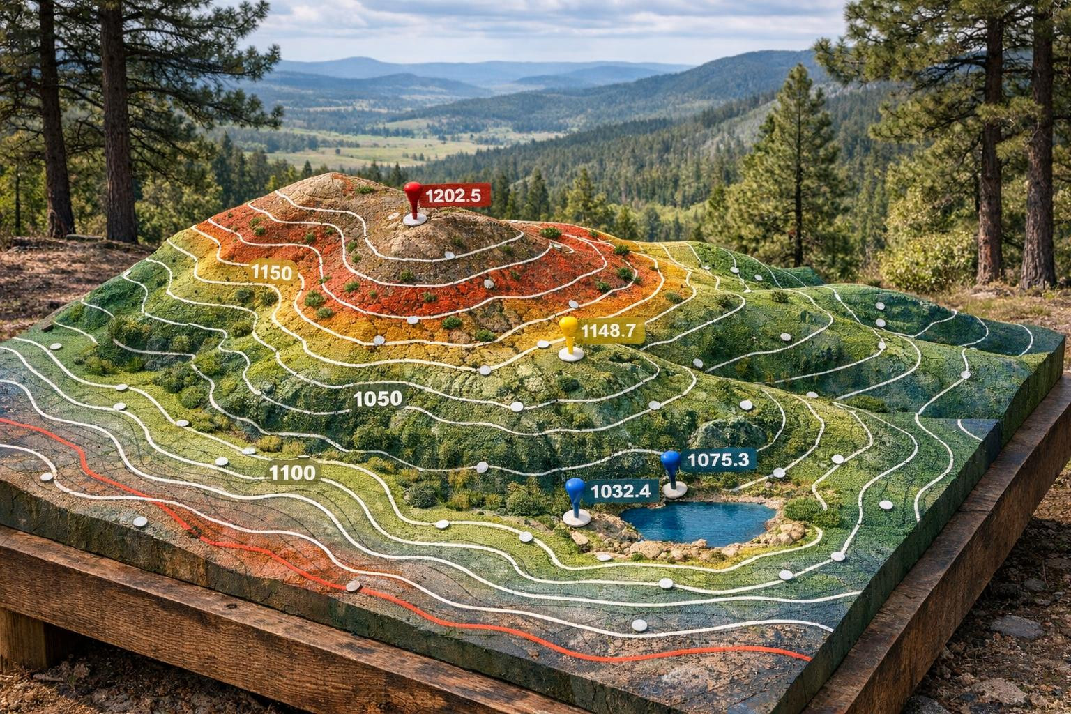
The detailed documentation of elevations and land borders in CAD and GIS-formats.
How does the process look
- Cooperation-based initial phase - needs mapping and work volume planning.
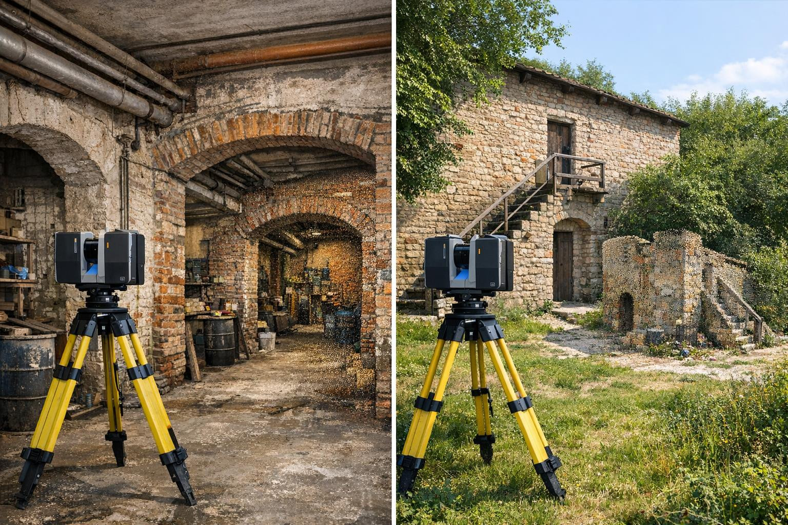
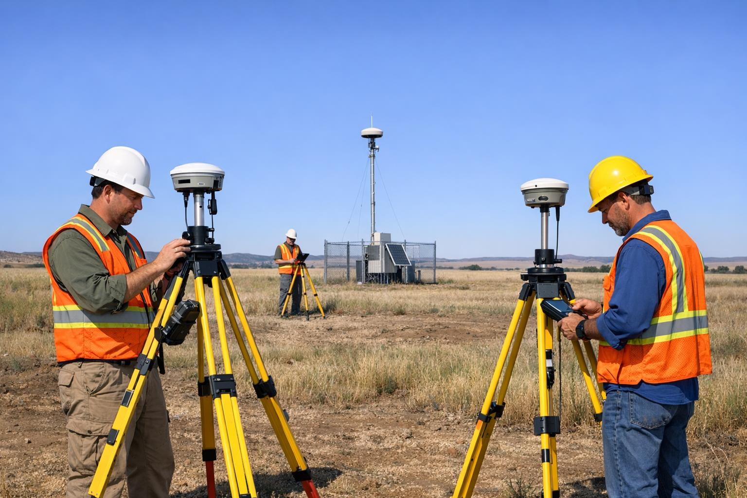
- field measurements - geodetic measurement and laser scanning on site. li>li>li>li>li>li>li>li
- li
- li <li <li <li <li <li <li Precision coordinates, clear plans and workable points from the beginning to the end of the project - give a significant advantage from land measurement to the end-of-construction. l It is worth contacting and discussing specific requirements in order to get a more detailed price offer and work schedule.
Comments (0)