


GNSS and geodetic networks - precise coordinate and altitude information for design

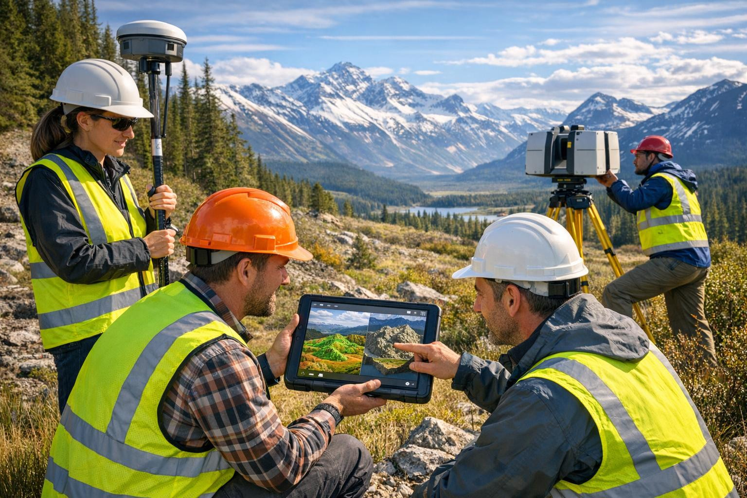
GNSS-based geodetic services provide accurate and reliable coordination and altitude information throughout the construction and planning process. The services are addressed to construction companies, designers, land managers and public sector managers who need controlled survey results to ensure that projects meet the technical requirements and reduce risks during the work.
The content and purpose
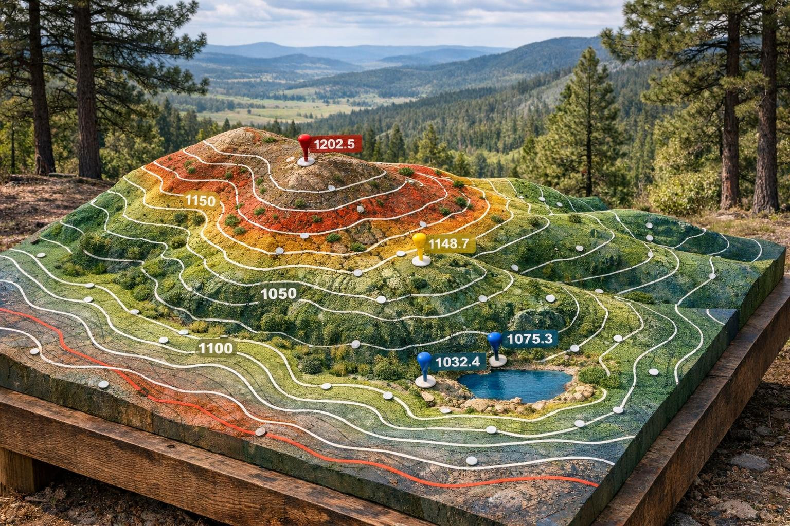
All-inclusive GNSS/GPS geodetic measurements and coordinate measurements provide a reliable basis for groundwork and the establishment of geodetic networks ensures repeated and consistent positioning throughout the life cycle of the site. Controlling measurements confirm the accuracy of works and document compliance with design data and regulatory standards.
Main service components
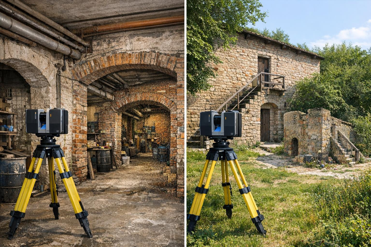
- ><GNSS/GPS geodetic measurements - RTK and post-processing solutions with centimetric level accuracy, manoeuvres and documentation are suitable for both rapid excavation and refinement of large-scale construction works.
- <Coordinate measurements - measurements in local and international coordination systems, data compatibility with CAD/BIM platforms and clear geo-data export formats. <<<Geodeetic networks - constant networks and control points, optimised measurement protocols and documentation are suitable for further monitoring and measurement Clear documentation and certified reports simplify coordination and link responsibility by reducing the misunderstandings that arise during the project.
For whom
is suitable.The focus is on construction and infrastructure projects, road construction and railway track planning, land management, geotechnical studies and any work where a reliable geometric basis is important. The service is beneficial to both the public sector and private companies that require verifiable measurement accuracy.
Thought-out GNSS solutions, professional data processing and comprehensive control measurement documentation provide assurance that projects start and continue with the correct coordination and altitude information. Contact us to get a precise price offer and fast execution time and bring the precision and certainty required for construction and planning.
Comments (0)