
HARJU GEODEESIABÜROO OÜ
Media page and news feed
?
Business media page visits - 1458; followers - 2. Reviews - 4; Articles 5+ "Write an opinion on HARJU GEODEESIABÜROO OÜ!"
ssb.ee
Featured Image

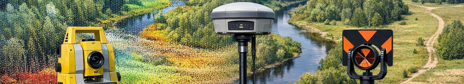
Geodesy services
We offer comprehensive geodesy and surveying services - from GNSS measurements to the processing of topographic plans and point clouds. Our solutions provide accurate coordinates, 3D elevation models and documentation to speed up projects and reduce risks.
geodetic surveying work
Topographical plans
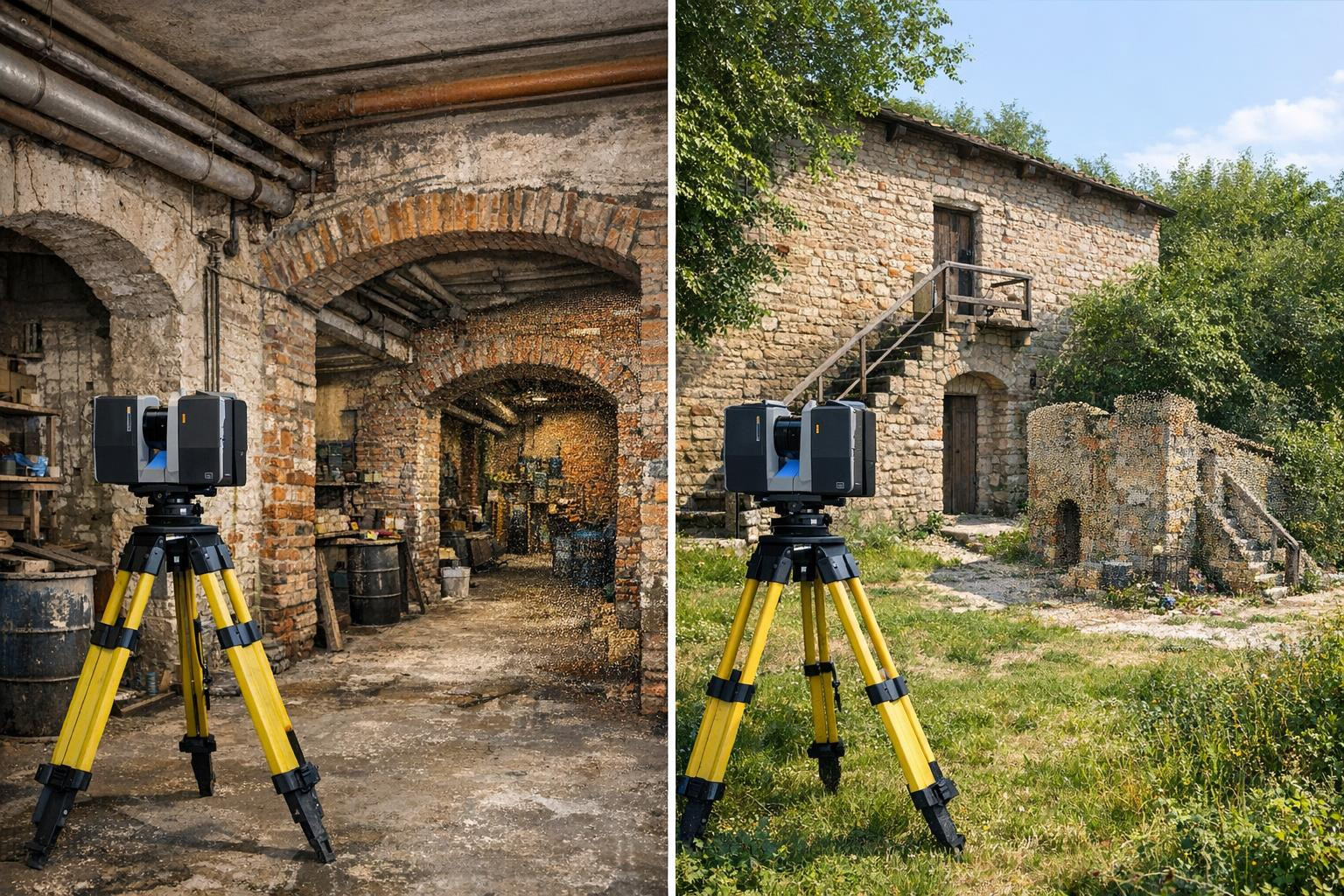
Laser scanning and point cloud
Processing and analysis of survey data
Point placement work
ssb.ee
Featured Image

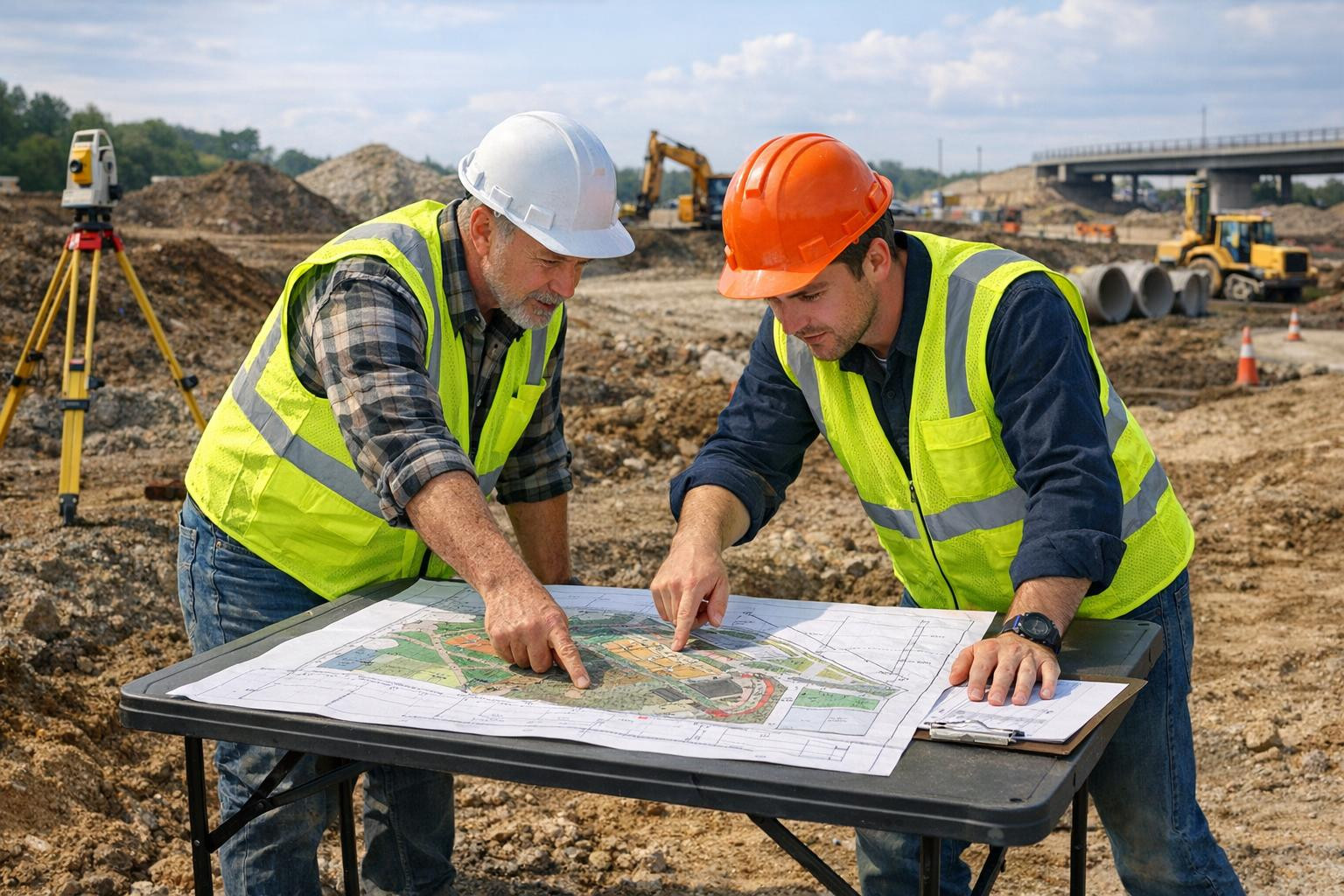
GNSS and nets
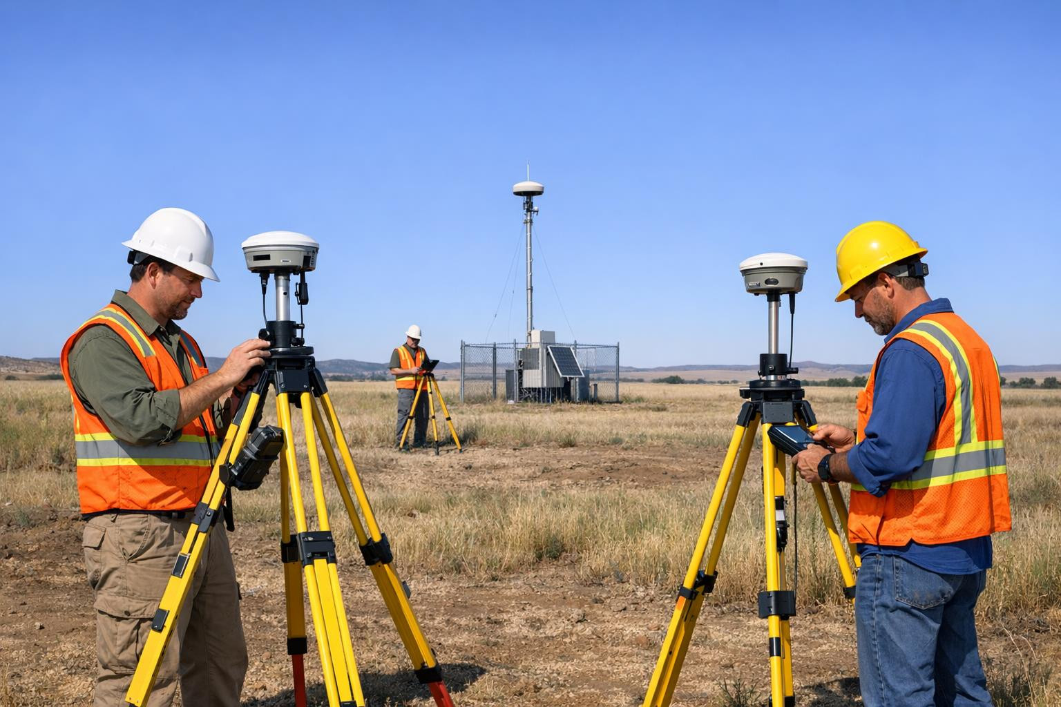
GNSS/GPS geodetic measurements
coordinate measurements
Establishment of geodetic networks
control measurements
ssb.ee
Featured Image

Topographic maps
Topo-geodetic mapping
topographic surveying work
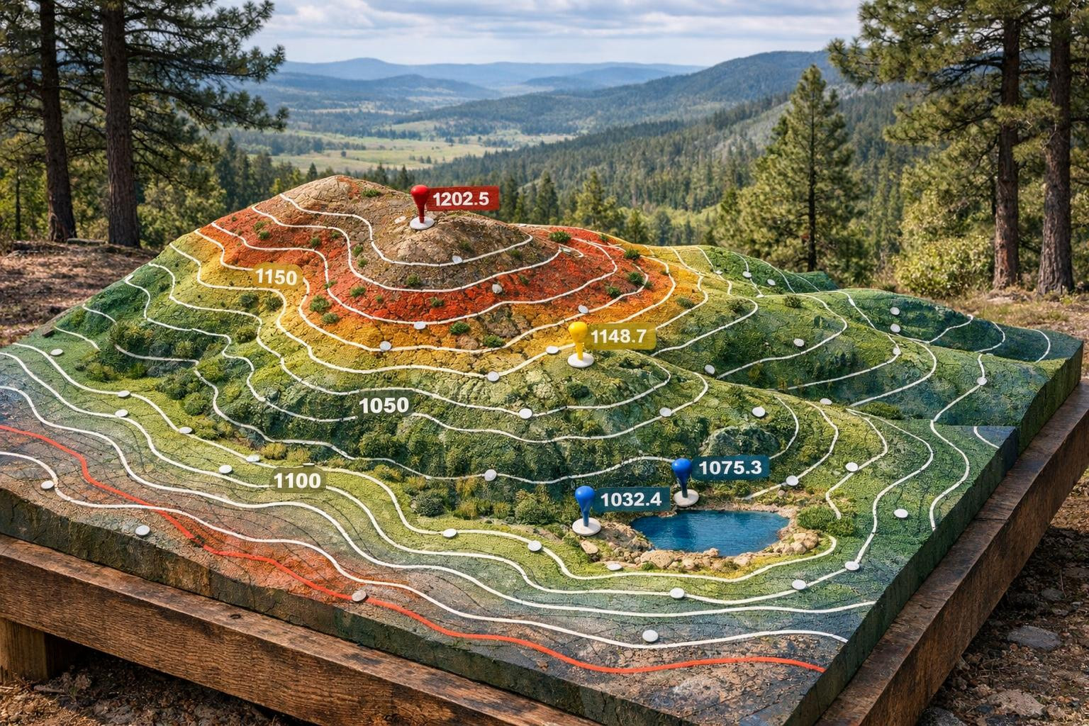
measurement of terrain elevation
elevation modelling
ssb.ee
Featured Image

Detailed scanning
detailed measurements
Laser scanning and point cloud
contingency measurement ( contingency plan)
Processing and analysis of survey data
Our company story
?
Company management, team and contacts
The Company Story

Our aim is to provide a clear and reliable spatial information base on which planning, design and construction can be relied. We work to ensure that measurements and documentation reduce the uncertainty of decision makers and support the smoothness of projects.
Projects often suffer from incomplete or confusing spatial data: inaccuracies and lack of overview lead to delays, additional costs and risks. On this basis, we focus on clarifying situations and reducing risks through accurate spatial data.
We offer comprehensive geodesy and surveying services that combine field measurements and data processing to provide a clear, usable documentation and spatial overview to the customer. Our solutions support decision-making, planning and land use clarification.
Emphasising the clarity and practicality of our differences: more than data collection, we focus on ensuring that the results are directly applicable and help speed up projects and reduce risks. Our work directs the use of spatial data towards a longer and better planned future.
HARJU GEODEESIABÜROO OÜ contacts
What do customers think?
?
Company customer opinions
-
Jaan T.
Tellisin GNSS-mõõdistused ja geodeetilise võrgustiku rajamise; tulemuseks olid täpsed koordinaadid ja kontrollmõõdistused, mis vastasid meie ehitusprojekti nõuetele.
-
Kati P.
Detailne laser-skaneerimine ja punktipilv esitati kõrge lahutusega ning kaasasolev mõõdistusandmete töötlemine ja selge dokumentatsioon aitasid projekteerijatel kiiremini edasi liikuda.
-
Maarja K.
Saime topo-geodeetilise kaardi ja 3D-reljeefi mudeli, mis andis hea ülevaate maastikust ning vähendas riske planeerimisfaasis.
Cooperation partners
?
The company's largest partners
Add a new partner
EE- Estonia


Dropdown

File a complaint
Choose the comment attribute that you think it contains:
You want to report an inappropriate comment.
Are you sure?
Are you sure you want to delete this article?