
Precise topographic maps and 3D relief modelling for planning

All necessary for accurate landscape mapping and decision support
Topo-geodetic maps compilation and topographic mapping works combine the knowledge of modern technology and certified surveyors to provide a clear overview of the terrain elevation and support projects from planning to final purchase. Precise landscape elevation measurement allows you to make judicious decisions, reduce risks and optimize costs.
For whom
Services are suitable for architects, landscape architects, engineering offices, construction companies, land managers and local authorities - for all who need reliable spatial information for planning, planning and land use decisions.
Why is this important
>>p>Suitable topography the foundation of the project: timely and accurate information creates a premise for effective design, reduces additional work resulting from changes and helps to avoid legal and financial risks. Reljef modelling creates a clear 3D description of the terrain that facilitates quantification, water process analysis and infrastructure planning.Key functions
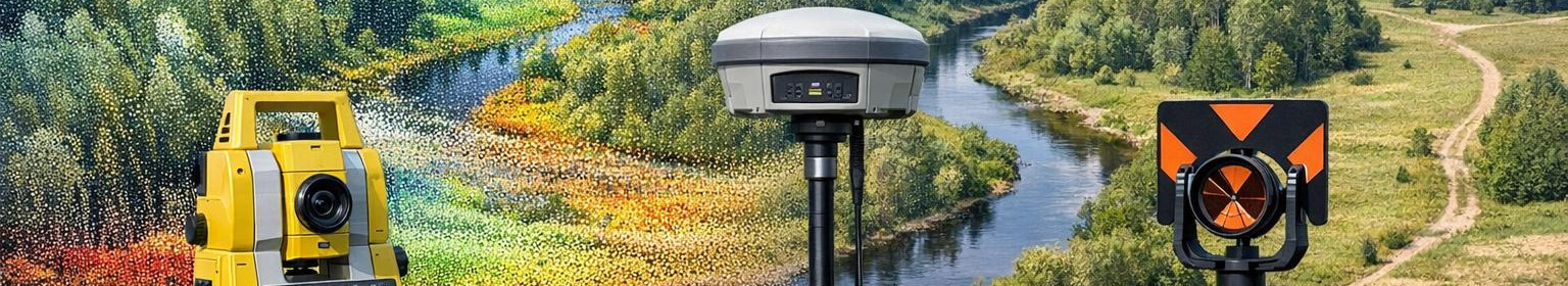
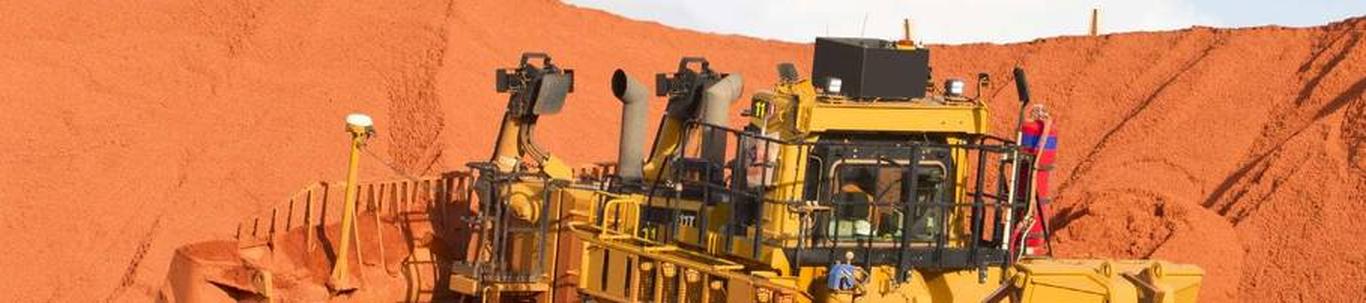
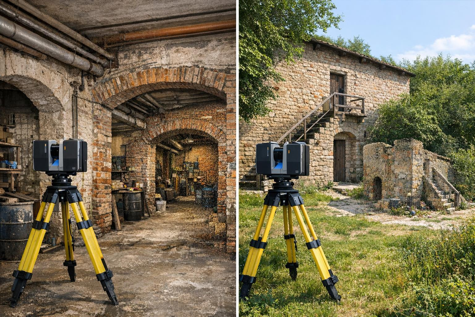
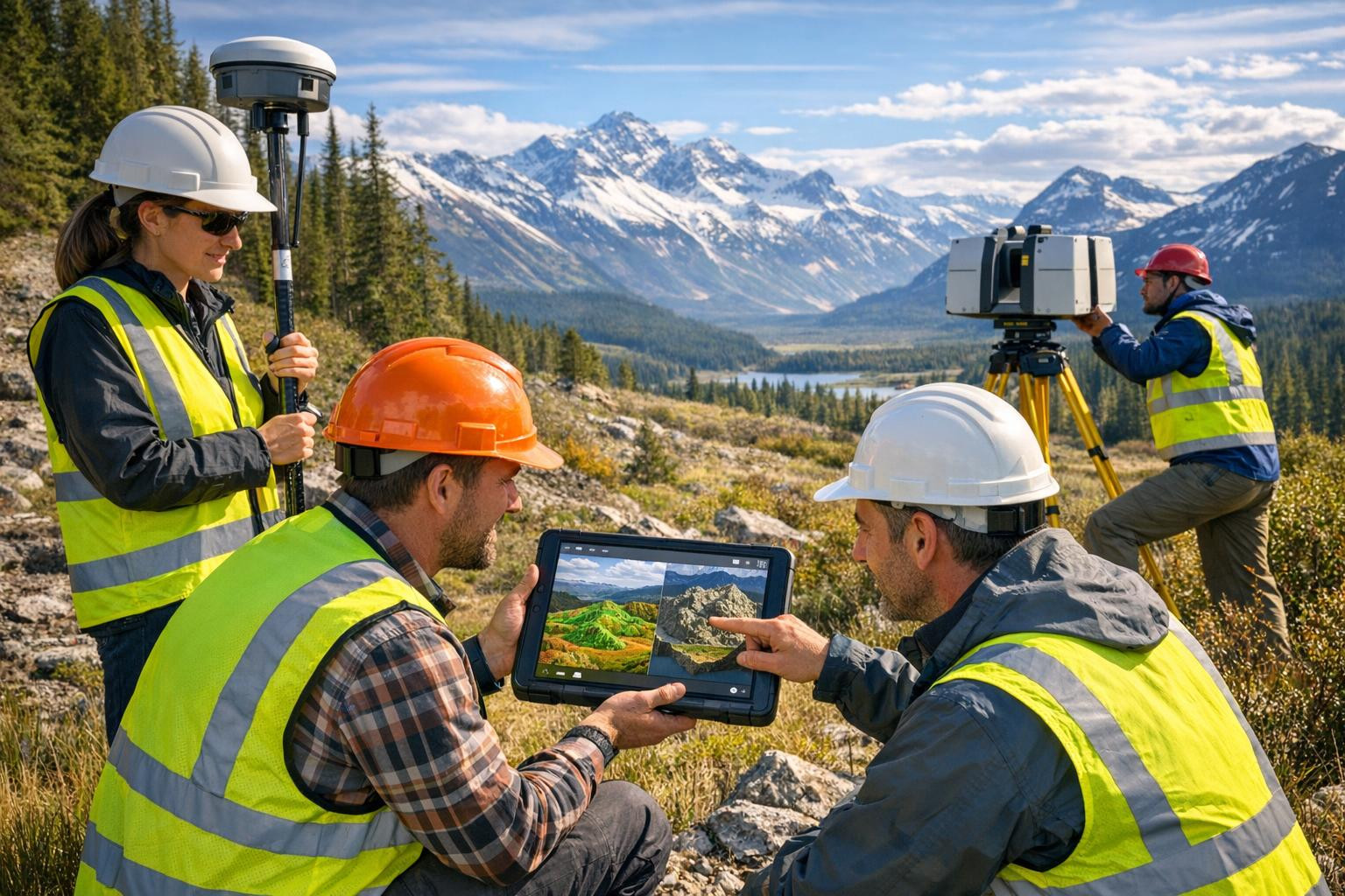
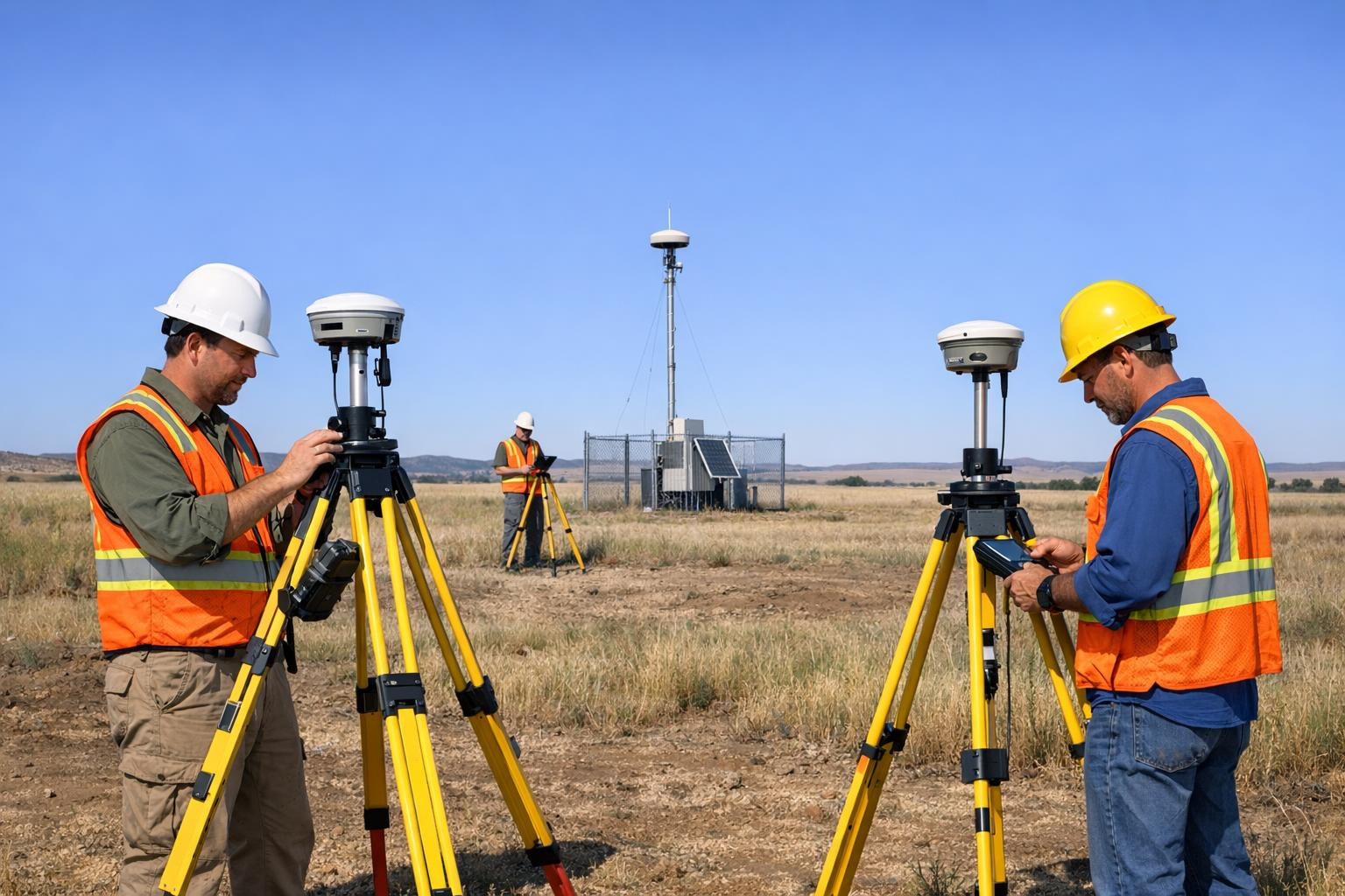
<Precise topographical measurement works - GNSS, total station and terrestrial control ensure high precision.li>LIDAR and drone-based data - high resolution point clouds for rapid relay modelling.<3D-reljef modelling - digital relief models (DTM/DEM), contours and altitude data.Mitmekeskis outputs - Quick data delivery speeds up the decision process and allows shorter time tracker. Three-dimensional elevation modelling helps visualize volume, assess the impact of slope and plan the management of rainwater and the prevention of erosion.What distinguishes solution
Integrated workflow - terrestrial measurements combined with drone and LIDAR data - ensures both detail and extent. Flexible reporting and adaptable data formats are compatible with existing design and GIS systems. Local experience and regulatory knowledge ensure that outputs meet the required standards and use.
Use areas and examples
- Planning and spatial development - land management, detailed planning and design of infrastructure routes.
- Li>Building and engineering work - accurate land measurements for the installation of foundations and routes.
- Li>Environmental and water supply analysis - drainage, mapping of hazardous areas and assessment of erosion.
Li>Agriculture and forestry - modelling of terraces, soil and water courses for optimised land use.
h3>How to start
p>In the beginning of the project, if accurate data collection is necessary and what output formats are preferred. The survey work is then planned, suitable technology is selected and a timetable is set. As a final product, high-quality topo- and elevation materials that are ready for design and decision will be delivered.What distinguishes solution
Integrated workflow - terrestrial measurements combined with drone and LIDAR data - ensures both detail and extent. Flexible reporting and adaptable data formats are compatible with existing design and GIS systems. Local experience and regulatory knowledge ensure that outputs meet the required standards and use.
Use areas and examples
- Planning and spatial development - land management, detailed planning and design of infrastructure routes.
- Li>Building and engineering work - accurate land measurements for the installation of foundations and routes.
- Li>Environmental and water supply analysis - drainage, mapping of hazardous areas and assessment of erosion. Li>Agriculture and forestry - modelling of terraces, soil and water courses for optimised land use.
Contact us with confidence if you want to reduce design uncertainty, optimise costs and get a clear view of the landscape from surface forms to precise altitude data.
Comments (0)