

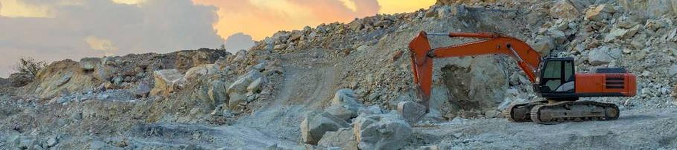
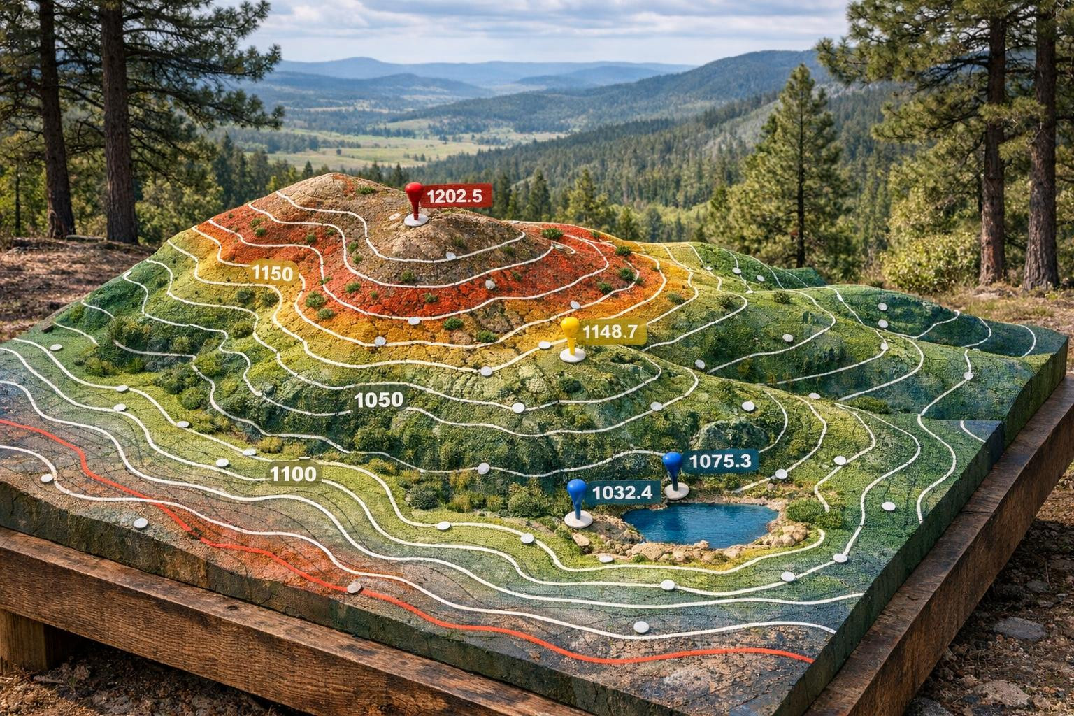
Detailed scanning - laser scanning and point cloud, precise detail measurements

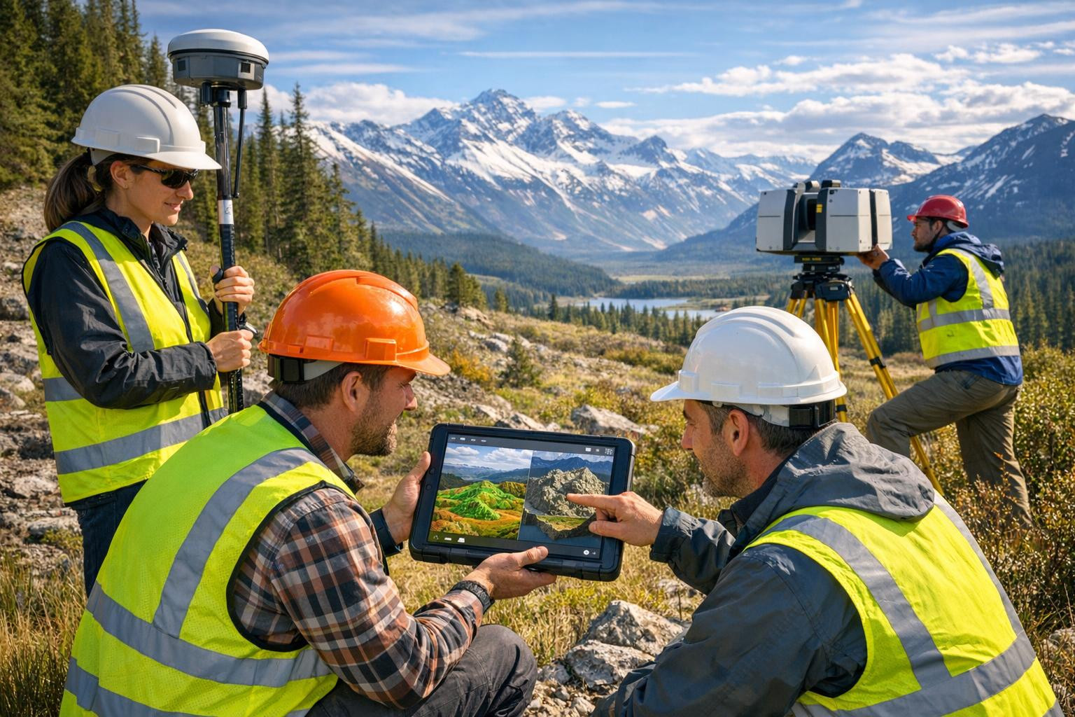
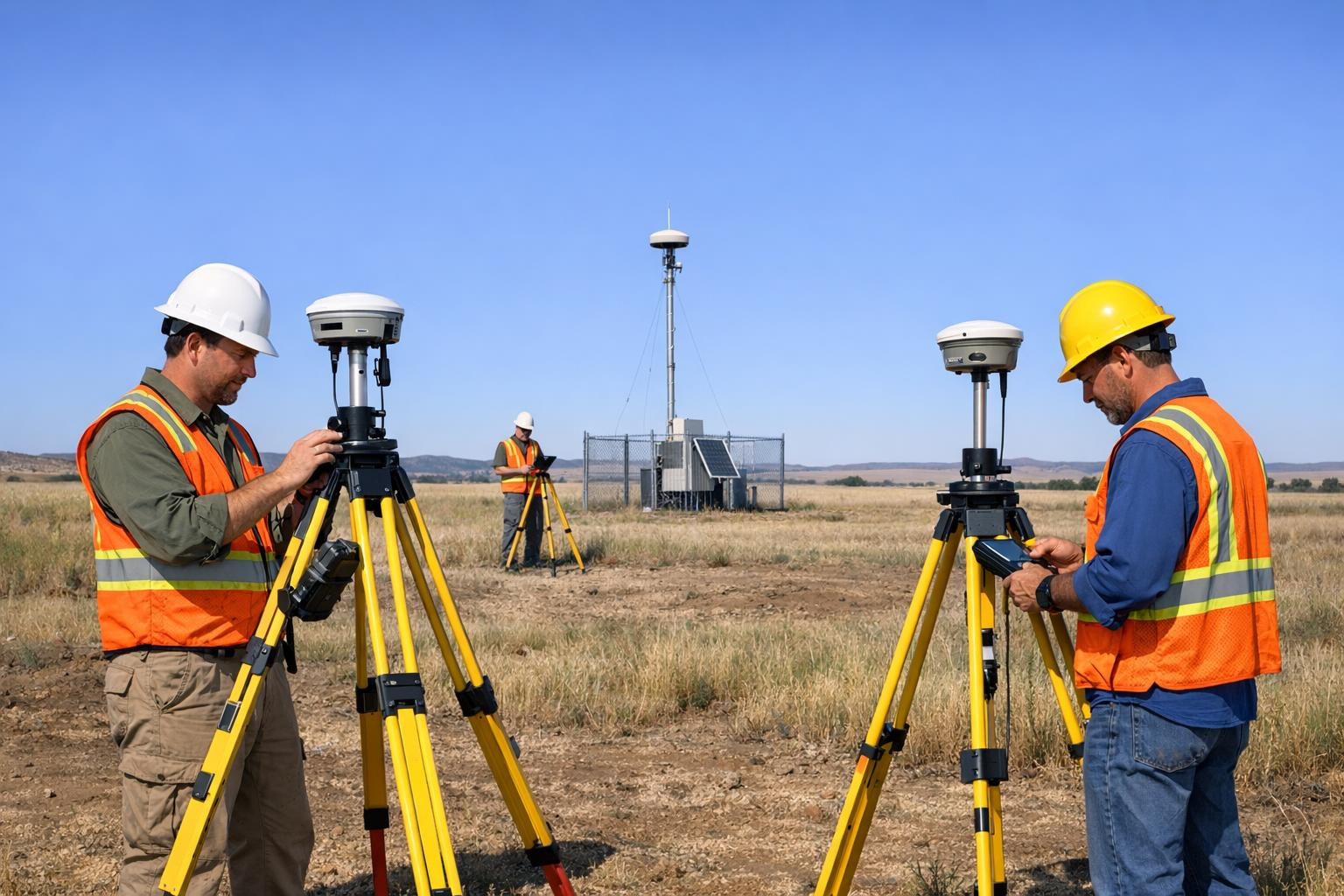
Detail scanning provides accurate measurements and a modern geometric overview that makes complex building and landscape solutions easy to understand. The service includes detail measurements, laser scanning and point cloud, situational measurement (situation plan) and metering data processing and analysis to ensure rapid, reliable and financially valuable decision making.
What is it for?
The target group of the service includes architects, designers, builders, real estate developers, restorers and property owners who need accurate spatial information. Uses:
- Inventory and reconstruction of projects;
- BIM modelling and CAD project input data;
- Land design and infrastructure planning;
- Quality control and post-construction documentation; li>
- Implementation of projects and technical documentation. /li>
How high-quality scanning
- <li
- Implementation and analysis of data: accurate laser scanning, which creates high-sensing point cloud and covers the entire object or subdivision of measurement. > Unlike surface methods, this solution ensures a stable result in complex situations and adapts to the project specification.
- Punkt cloud (high resolution) - visualisation and measurement;
- Situation plan and measurement plans - official and readable designs;
- Determined data processing and analysis reports - measurement error information, sections, elevation models and parametric export files;
- Tugi CAD/BIM format - rapid further integration into design software.
Relevant information and deliverables
Deciding commercial value: accurate measurements and well thought-out data processing reduce project risks, accelerate schedule and improve management efficiency. Clear documentation and a large point cloud provide certainty at each stage of the project.
One contact is sufficient to start an activity or to obtain an accurate price offer: a quick overview of the extent of the object, the desired outputs and the strategic timetable - and the result is ready for use. Reliable surveying provides the basis for better decisions and more effective project management.
Comments (0)