HARJU GEODEESIABÜROO OÜ

Media page and news feed
?
Our aim is to provide a clear and reliable spatial information base on which planning, design and construction can be relied. We work to ensure that measurement

The Company Story

Our aim is to provide a clear and reliable spatial information base on which planning, design and construction can be relied. We work to ensure that measurements and documentation reduce the uncertainty of decision makers and support the smoothness of projects.

Projects often suffer from incomplete or confusing spatial data: inaccuracies and lack of overview lead to delays, additional costs and risks. On this basis, we focus on clarifying situations and reducing risks through accurate spatial data.

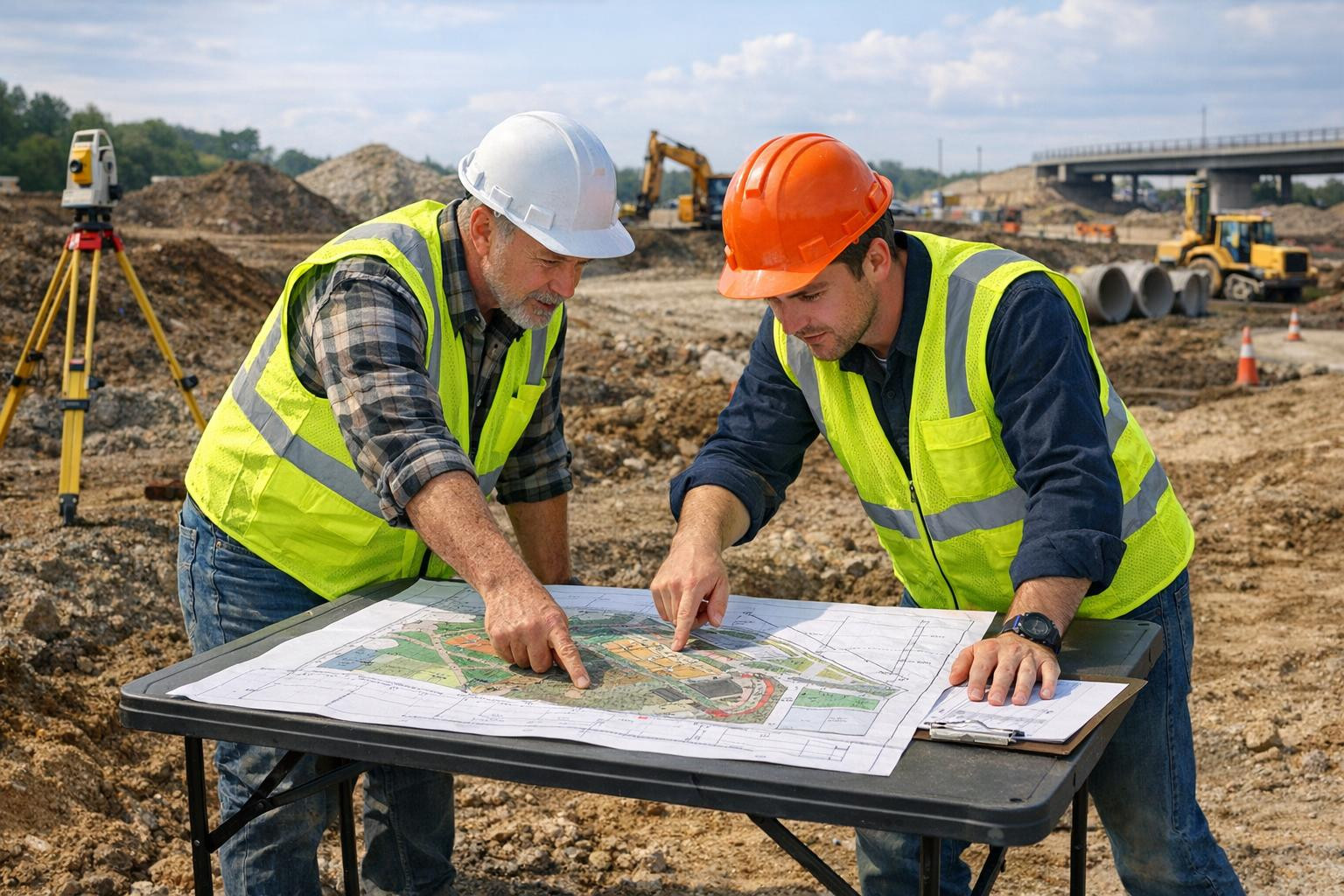
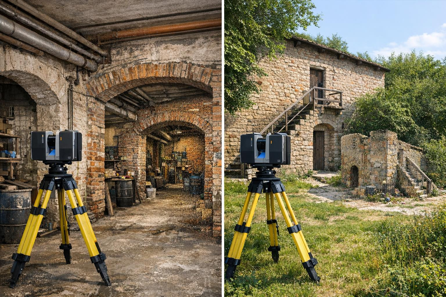
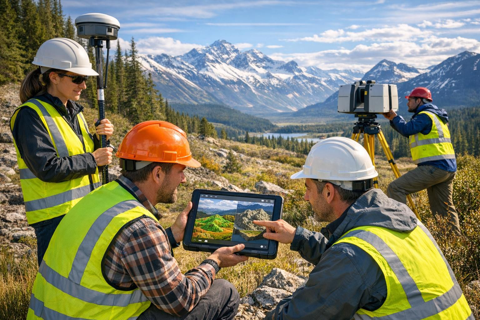
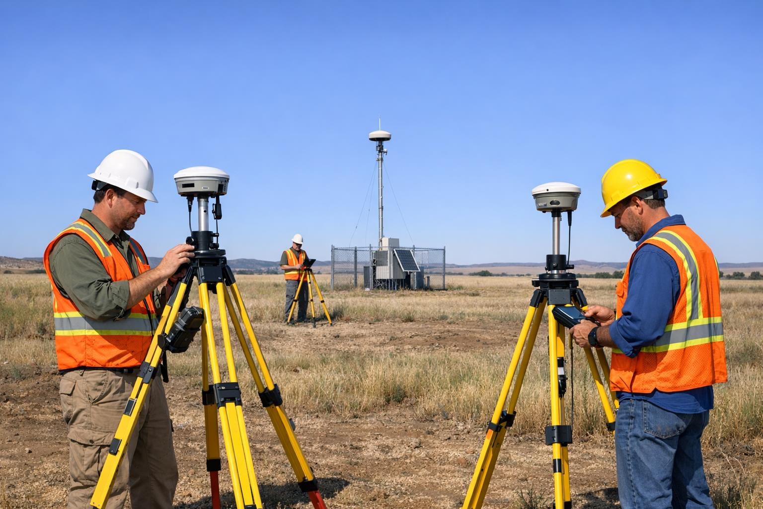
We offer comprehensive geodesy and surveying services that combine field measurements and data processing to provide a clear, usable documentation and spatial overview to the customer. Our solutions support decision-making, planning and land use clarification.

Emphasising the clarity and practicality of our differences: more than data collection, we focus on ensuring that the results are directly applicable and help speed up projects and reduce risks. Our work directs the use of spatial data towards a longer and better planned future.

Comments (0)


Are you sure you want to delete this article?

Dropdown

all articles

Detailed scanning - laser scanning and point cloud, precise detail measurements

Detail scanning  provides accurate measurements and a modern geometric overview that makes complex building and landscape solutions easy to understand. The serv
ssb.ee
Detail scanning provides accurate measurements and a modern geometric overview that makes complex building and landscape solutions easy to understand. The service includes detail measurements , laser scanning and point cloud , situational measurement (situation plan) and metering data processing and analysis to ensure rapid, reliable and financially valuable decision making. What is it for? The target group of the service includes architects, designers, builders, real estate developers, restorers and property owners who need accurate spatial information. Uses: Inventory and

Precise topographic maps and 3D relief modelling for planning

All necessary for accurate landscape mapping and decision support    Topo-geodetic maps compilation  and  topographic mapping works  combine the knowledge of mo
ssb.ee
All necessary for accurate landscape mapping and decision support Topo-geodetic maps compilation and topographic mapping works combine the knowledge of modern technology and certified surveyors to provide a clear overview of the terrain elevation and support projects from planning to final purchase. Precise landscape elevation measurement allows you to make judicious decisions, reduce risks and optimize costs. For whom Services are suitable for architects, landscape architects, engineering offices, construction companies, land managers and local authorities - for all who need

Advanced geodesy services - GNSS measurements, point clouds and topographical plans

Complete geodesy and survey service  provides accurate coordinates, clear topographical plans and high resolution 3D relief models that accelerate projects and
ssb.ee
Complete geodesy and survey service provides accurate coordinates, clear topographical plans and high resolution 3D relief models that accelerate projects and reduce construction risks. In the focus of services, quick realisation, strict quality control and compatibility of data with conventional design and construction software are used in the field of services. The detailed documentation of elevations and land borders in CAD and GIS-formats. > < < < < < < < < < < =l >=l =l > < =l < < <=l =l =l >=l <=l =l =l =l >l >=l

GNSS and geodetic networks - precise coordinate and altitude information for design

GNSS-based geodetic services  provide accurate and reliable coordination and altitude information throughout the construction and planning process. The services
ssb.ee
GNSS-based geodetic services provide accurate and reliable coordination and altitude information throughout the construction and planning process. The services are addressed to construction companies, designers, land managers and public sector managers who need controlled survey results to ensure that projects meet the technical requirements and reduce risks during the work. The content and purpose All-inclusive GNSS/GPS geodetic measurements and coordinate measurements provide a reliable basis for groundwork and the establishment of geodetic networks ensures repeated and consistent

Are you sure you want to delete this article?

Loader

Loader

App Ad

Scorestorybook Chrome extension

The Storybook extension tells you which company's website you are currently on and how reliable that company is today. download extension

See the background of the caller! Storybook App brings you direct contacts for 400,000 Estonian companies and individuals (managers, officials). The data is enriched with solvency and financial information.