Peeter Käos
Corporate business media and news feed
Products and services
View offers
ssb.ee
Featured Image
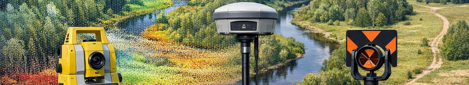
Geodesy services
We offer comprehensive geodesy and surveying services - from GNSS measurements to the processing of topographic plans and point clouds. Our solutions provide accurate coordinates, 3D elevation models and documentation to speed up projects and reduce risks.
geodetic surveying work
Topographical plans
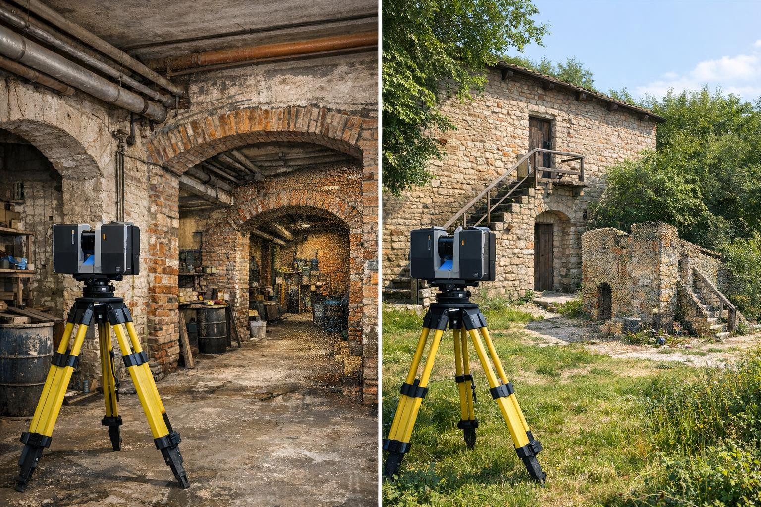
Laser scanning and point cloud
Processing and analysis of survey data
Point placement work
ssb.ee
Featured Image
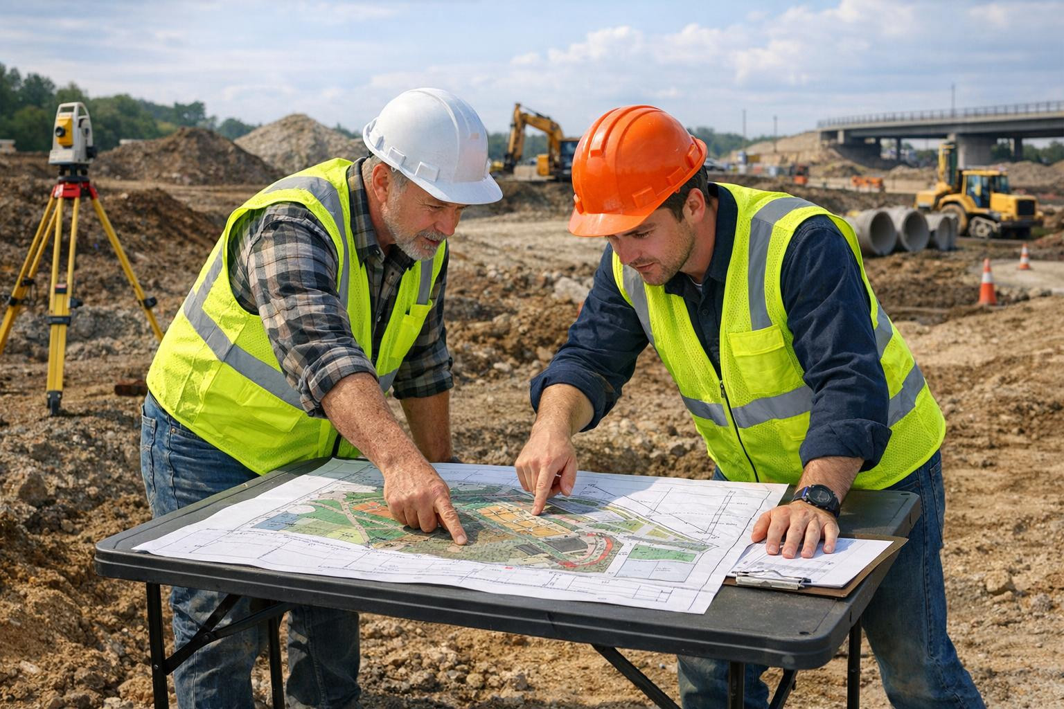
GNSS and nets
GNSS/GPS geodetic measurements
coordinate measurements
Establishment of geodetic networks
control measurements
ssb.ee
Featured Image
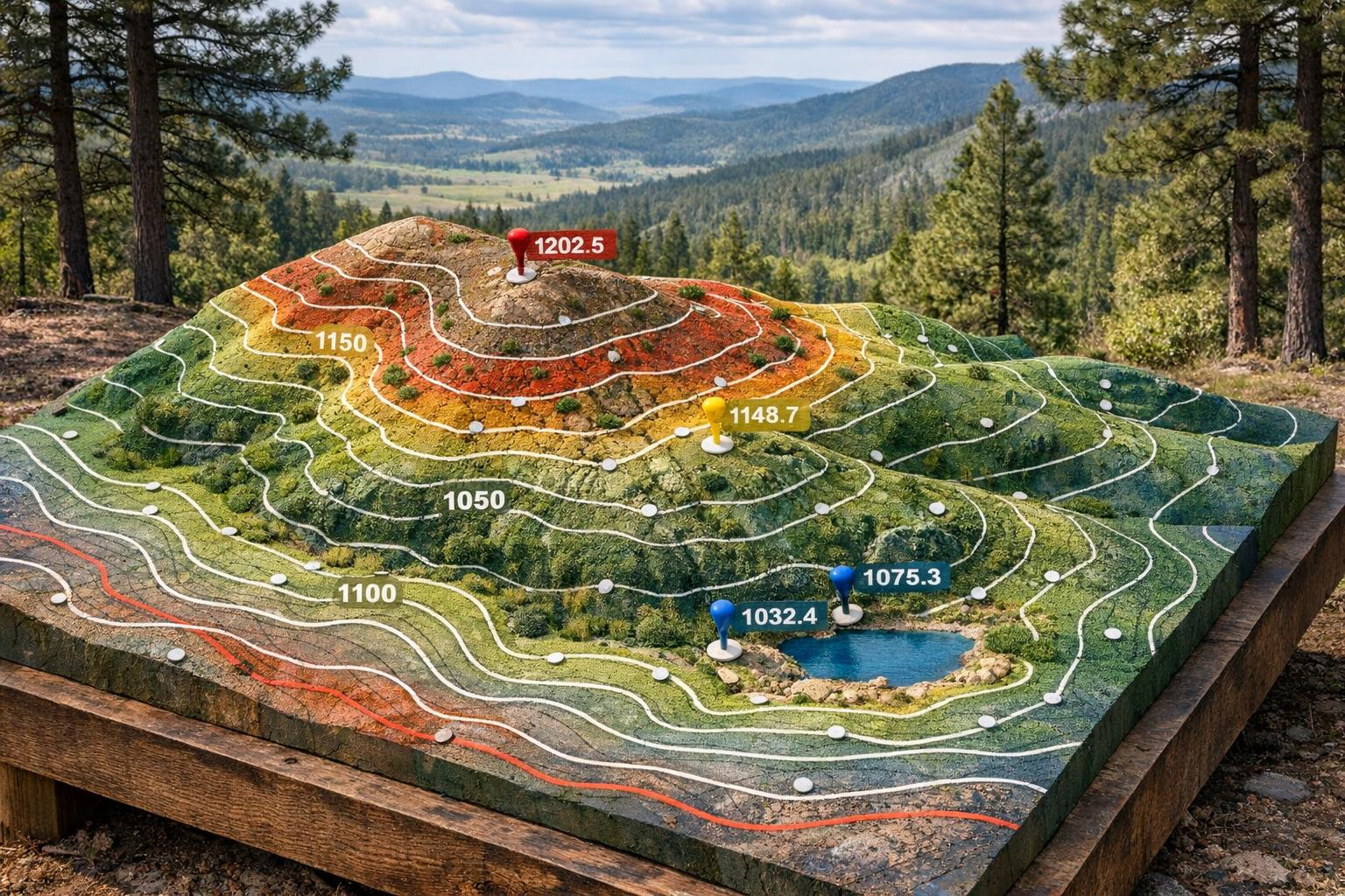
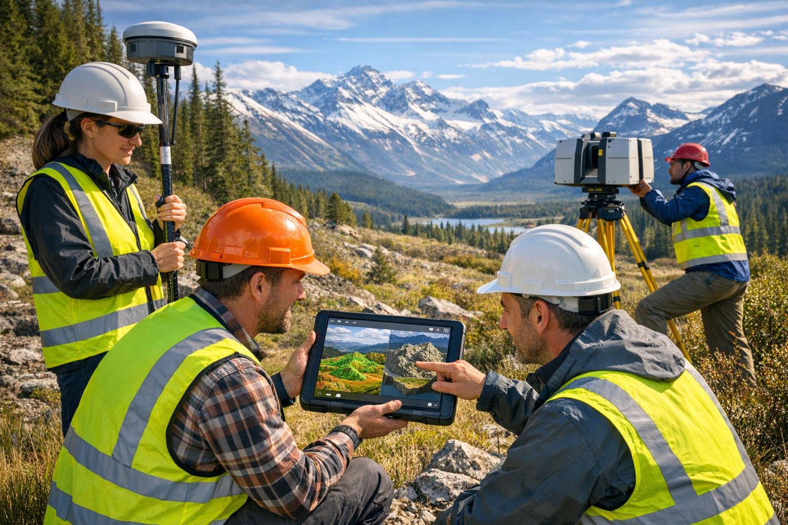
Topographic maps
Topo-geodetic mapping
topographic surveying work
measurement of terrain elevation
elevation modelling
ssb.ee
Featured Image
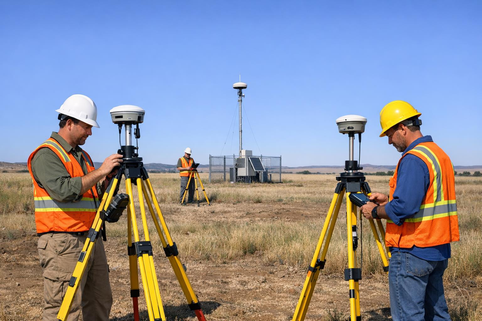
Detailed scanning
detailed measurements
Laser scanning and point cloud
contingency measurement ( contingency plan)
Processing and analysis of survey data
News stories
Company articles and news feeds
Dropdown


File a complaint
Choose the comment attribute that you think it contains:
You want to report an inappropriate comment.
Are you sure?
Are you sure you want to delete this article?